Old Maps of Arabi, Georgia for Academic Research
Study the evolution of Arabi with 16 high-resolution historic maps. Whether you're teaching, researching, or modeling changes in land use, these maps provide essential visual documentation of urban, environmental, and geographic change.
- Analyze long-term change: Track patterns in development, transportation, and natural features.
- Ideal for environmental or urban studies: Support academic projects with primary historical map data.
- Use in the classroom or lab: Educators and researchers rely on these maps to bring historical context to life.
These maps are a powerful tool for teaching, research, and visualizing how Arabi has changed over the decades.
Arabi, GA maps
(16)- 1953 Map of Waycross, 1967 Print
 1953 Waycross1967 Print · USGSSouth Georgia's agricultural and rail heartland is captured here in the mid-1950s, showing a vast network of timber and farming towns. Researchers can trace the rail lines connecting Waycross and Tifton or locate landmarks like Jefferson Davis State Park and Lake Blackshear.2 unique versions available
 - 1958 Map of Waycross
 1958 Waycross1958 Print · USGSSoutheast Georgia in the late fifties remains a landscape of deep river basins and vital rail junctions. Genealogists and historians can trace family-named landmarks and rural hubs like Union Church, South Georgia College, and the sprawling Okefenokee Swamp.2 unique versions available
 - 1977 Map of Arabi
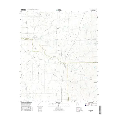
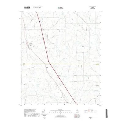
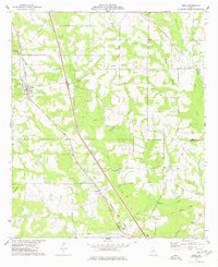 1977 Arabi1977 Print · USGSThe rural landscapes of Crisp and Turner counties are captured here in the late seventies, centered on the town of Arabi. Genealogists and local historians can trace family sites like the Arabi-Antioch Cem, Dakota, and New Hope Ch.
 - 1977 Map of Pateville
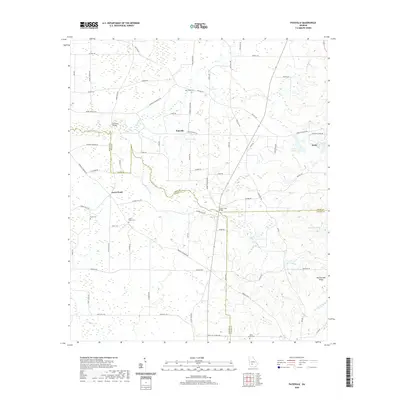
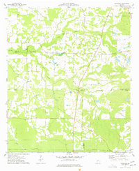 1977 Pateville1977 Print · USGSThe South Georgia plains near the Crisp and Worth county lines come alive in the late 1970s through this detailed survey. Researchers can trace family ties at the Story-Odum Cem, locate the old New Hope Sch, or follow the waters of Swift Creek through Pateville.
 - 1981 Map of Cordele, 1982 Print
 1981 Cordele1982 Print · USGSSouth Georgia’s agricultural heartland is documented here in the early eighties, showing the convergence of the Seaboard Coast Line Railroad and the Georgia Southern and Florida lines. Genealogists and researchers can trace local landmarks like Bowens Mill Pond, the University of Georgia Research Center, and the shores of Lake Blackshear.
 - 1988 Map of Waycross
 1988 Waycross1988 Print · USGSSouth Georgia's wiregrass and timber country is documented here in the late eighties, centered on the vital rail junction of Waycross. Genealogists and historians can trace the rural landscape from Okefenokee up to the Ocmulgee, finding sites like Lumber City and Jefferson Davis Memorial State Park.
 - 2011 Map of Arabi, 2011 Print
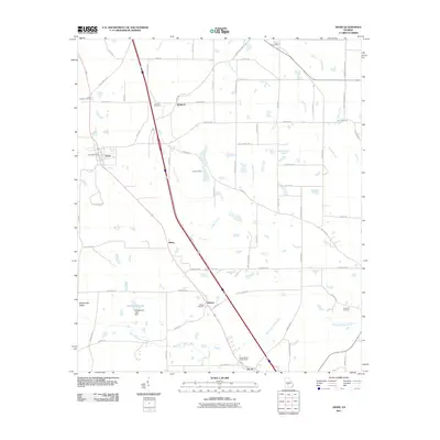 2011 Arabi2011 Print · USGSCovers Arabi, including Sibley, Bedgood, and other nearby areas
 - 2011 Map of Pateville, 2011 Print
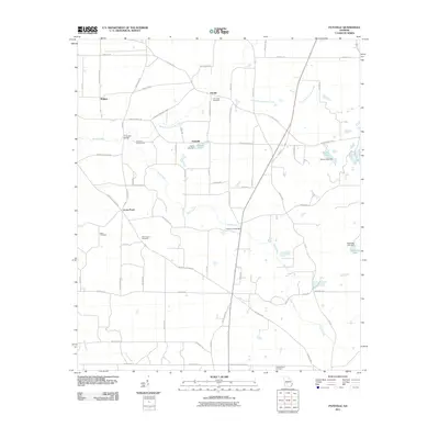 2011 Pateville2011 Print · USGSCovers Arabi, including Bridges, Hardin, and other nearby areas
 - 2014 Map of Pateville, 2014 Print
 2014 Pateville2014 Print · USGSCovers Arabi, including Bridges, Hardin, and other nearby areas
 - 2014 Map of Arabi, 2014 Print
 2014 Arabi2014 Print · USGSCovers Arabi, including Sibley, Bedgood, and other nearby areas
 - 2017 Map of Pateville, 2017 Print
 2017 Pateville2017 Print · USGSCovers Arabi, including Bridges, Hardin, and other nearby areas
 - 2017 Map of Arabi, 2017 Print
 2017 Arabi2017 Print · USGSCovers Arabi, including Sibley, Bedgood, and other nearby areas
 - 2020 Map of Arabi, 2020 Print
 2020 Arabi2020 Print · USGSCovers Arabi, including Sibley, Bedgood, and other nearby areas
 - 2020 Map of Pateville, 2020 Print
 2020 Pateville2020 Print · USGSCovers Arabi, including Bridges, Hardin, and other nearby areas
 - 2024 Map of Pateville, 2024 Print
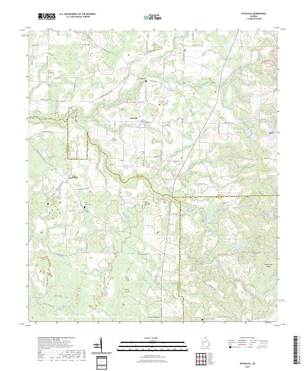 2024 Pateville2024 Print · USGSThe agricultural heart of South Georgia is documented here in the early twenty-first century as it spans three county lines. Genealogists and historians can locate legacy family burial sites like Story - Odom Cem and Zion Hope Cem while tracing the waters of Swift Creek.
 - 2024 Map of Arabi, 2024 Print
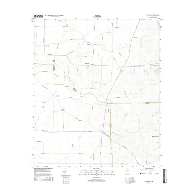
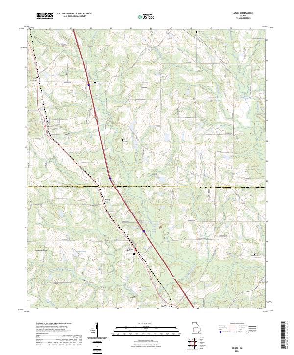 2024 Arabi2024 Print · USGSArabi and the surrounding Crisp County farm country are documented here in the early twenty-first century. Researchers can trace rural lineages through numerous burial grounds like Pitts Cem and Hopewell Cem or explore the drainage of Lime Creek.
End of results
Showing maps 1-16 of 16
Top cities near Arabi
- Cordele historical maps
- Ashburn historical maps
- Sycamore historical maps
- Warwick historical maps
- Pitts historical maps
Frequently asked questions
- What are the different types of historical maps available for Arabi?
- What is the oldest map of Arabi?
- Where can I purchase historical maps of Arabi for my home or office?
- Where can I download high-res historical maps of Arabi?
- Are there historical topographic maps available for Arabi?
- Is there historical aerial imagery available for Arabi?
- Where are historical maps of Arabi sourced from?