2000s (21st Century) Maps of Eastman, Georgia
Explore 10 historic maps of Eastman from the 2000s (21st Century). These maps offer a rare glimpse into what life looked like during the 2000s — showing old roads, neighborhoods, homes, and landmarks that have changed or disappeared over time.
Whether you're researching your family's past, planning a metal detecting trip, or studying how Eastman's landscape evolved across the 2000s, these high-resolution maps are a powerful tool for exploring the history of this region.
- Focus on a specific era: All maps on this page are from the 2000s, giving you a focused view of this time period.
- See what’s changed: Compare century-old streets, trails, and buildings to today's modern landscape using overlays and satellite layers.
- Research with precision: Use these maps for genealogy, historical research, land use analysis, or educational projects.
- View, download, or print: Maps are fully viewable online in high resolution, and can be downloaded or printed for your own records.
Start exploring Eastman's history through authentic maps from the 2000s. This is your window into the past.
Eastman, GA maps
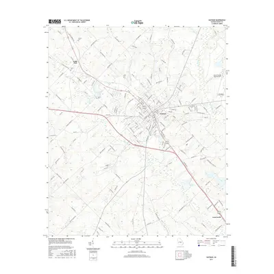
(10)- 2011 Map of Eastman, 2011 Print
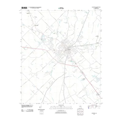 2011 Eastman2011 Print · USGSCovers Eastman, including Lowery, Dodge High, and other nearby areas
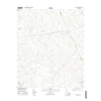
 - 2011 Map of Jay Bird Springs, 2011 Print
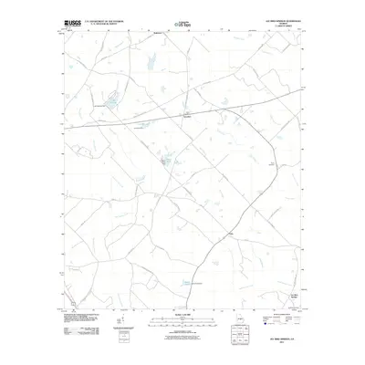 2011 Jay Bird Springs2011 Print · USGSCovers Eastman, including Jay Bird Springs, Saunders, and other nearby areas
 - 2014 Map of Eastman, 2014 Print
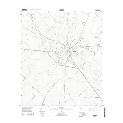 2014 Eastman2014 Print · USGSCovers Eastman, including Lowery, Dodge High, and other nearby areas
 - 2014 Map of Jay Bird Springs, 2014 Print
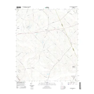 2014 Jay Bird Springs2014 Print · USGSCovers Eastman, including Jay Bird Springs, Saunders, and other nearby areas
 - 2017 Map of Jay Bird Springs, 2017 Print
 2017 Jay Bird Springs2017 Print · USGSCovers Eastman, including Jay Bird Springs, Saunders, and other nearby areas
 - 2017 Map of Eastman, 2017 Print
 2017 Eastman2017 Print · USGSCovers Eastman, including Lowery, Dodge High, and other nearby areas
 - 2020 Map of Jay Bird Springs, 2020 Print
 2020 Jay Bird Springs2020 Print · USGSCovers Eastman, including Jay Bird Springs, Saunders, and other nearby areas
 - 2020 Map of Eastman, 2020 Print
 2020 Eastman2020 Print · USGSCovers Eastman, including Lowery, Dodge High, and other nearby areas
 - 2024 Map of Eastman, 2024 Print
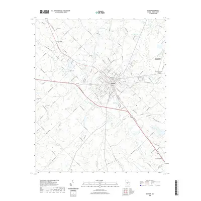
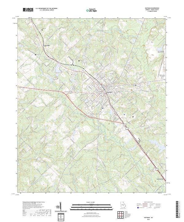 2024 Eastman2024 Print · USGSEastman and the surrounding Georgia countryside are captured here in the 2020s, showing a landscape defined by the county seat and its outlying settlements. Researchers can locate family landmarks such as Orphans Cem, the Dodge County Courthouse, and Godwinsville.
 - 2024 Map of Jay Bird Springs, 2024 Print
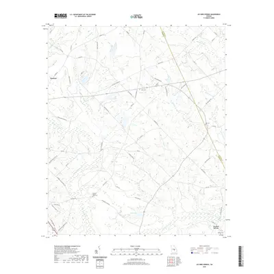
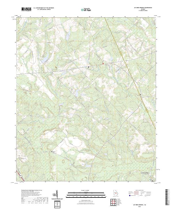 2024 Jay Bird Springs2024 Print · USGSDodge and Laurens County lands are mapped here in the modern era as a complex network of creeks and rural family holdings. Genealogists can trace local history through Parkerson Baptist Church Cem and the settlement at Jay Bird Springs.
End of results
Showing maps 1-10 of 10
Top cities near Eastman
- Cochran historical maps
- Abbeville historical maps
- Chester historical maps
- Cadwell historical maps
- Rhine historical maps
- Chauncey historical maps
See more
Top neighborhoods of Eastman
Frequently asked questions
- What are the different types of historical maps available for Eastman?
- What is the oldest map of Eastman?
- Where can I purchase historical maps of Eastman for my home or office?
- Where can I download high-res historical maps of Eastman?
- Are there historical topographic maps available for Eastman?
- Is there historical aerial imagery available for Eastman?
- Where are historical maps of Eastman sourced from?