Old Maps of Floyd County, Georgia for Academic Research
Study the evolution of Floyd County with 114 high-resolution historic maps. Whether you're teaching, researching, or modeling changes in land use, these maps provide essential visual documentation of urban, environmental, and geographic change.
- Analyze long-term change: Track patterns in development, transportation, and natural features.
- Ideal for environmental or urban studies: Support academic projects with primary historical map data.
- Use in the classroom or lab: Educators and researchers rely on these maps to bring historical context to life.
These maps are a powerful tool for teaching, research, and visualizing how Floyd County has changed over the decades.
Floyd County, GA maps
(114)- 1886 Map of Ringgold
 1886 Ringgold1886 Print · USGSNorthwest Georgia in the 1880s was a landscape of industrial river valleys and steep ridges defined by early rail lines. Local historians can trace family-named landmarks like Gilreath's Mill, the Trion Factory textile site, and the rural stop at Tap's Store.
 - 1886 Map of Rome
 1886 Rome1886 Print · USGSNorthwest Georgia in the mid-1880s is captured as a vital junction of river navigation and emerging rail power. Genealogists and historians can trace family locations near Rome and Cedartown or find rural landmarks like Kirk's Grave and Cunningham or Agate P.O.
 - 1892 Map of Ringgold
 1892 Ringgold1892 Print · USGSNorth Georgia and the Tennessee border are mapped here in the late nineteenth century as the region transitioned into a post-war rail and tourism hub. Researchers can trace the early National Park boundaries, industrial Coal Mines, and vanished stops like High Point or Lisbon Sta..9 unique versions available
 - 1898 Map of Rome, 1960 Print
 1898 Rome1960 Print · USGSNorthwest Georgia in the late nineteenth century is a landscape of mountain ridges and busy river confluences. Researchers can trace historic river crossings like Perkins Ferry and the rail-side growth of Summerville, Lindale, and Rome.
 - 1899 Map of Rome
 1899 Rome1899 Print · USGSNorthwest Georgia and the Alabama border are captured in the late 1890s, when river travel and mountain gaps dictated the flow of commerce. Genealogists can trace family footprints near Miller Ferry, Raccoon Mills, and the thriving rail hub of Rome.
 - 1904 Map of Rome
 1904 Rome1904 Print · USGSNorthwest Georgia and the Alabama borderlands are captured here during a period of heavy river traffic and expanding rail lines. Genealogists can trace family footprints across dozens of river crossings like Freeman Ferry and early settlements such as Chubbtown or Raccoon Mills.4 unique versions available
 - 1955 Map of Rome
 1955 Rome1955 Print · USGSThe tri-state borderlands of Georgia, Alabama, and Tennessee appear in the mid-fifties as a landscape of ridge-and-valley industry and river navigation. Genealogists can trace family footprints near Chattanooga, the iron works of Gadsden, and textile towns like Trion or Summerville.
 - 1958 Map of Rome, 1966 Print
 1958 Rome1966 Print · USGSNorthwest Georgia and neighboring Tennessee and Alabama are captured here in the late fifties, showcasing a landscape of high ridges and river valleys. Researchers can trace historic rail lines like the Seaboard Air Line RR and explore the bounds of Cloudland Canyon State Park or Fort Oglethorpe.3 unique versions available
 - 1961 Map of Rome
 1961 Rome1961 Print · USGSNorthwest Georgia and neighboring Tennessee and Alabama are shown here at a moment of significant mid-century growth. Researchers can trace the rail networks of the Central of Georgia or locate landmarks within Chickamauga and Chattanooga Nat Military Park.
 - 1963 Map of Rome
 1963 Rome1963 Print · USGSThe tri-state corner of Georgia, Alabama, and Tennessee is captured here during a period of massive reservoir expansion and post-war growth. Genealogists and historians can trace the rail corridors of the Southern Ry or locate landmarks like Fort Oglethorpe and Cloudland Canyon State Park.
 - 1967 Map of Summerville, 1968 Print
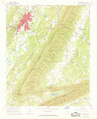 1967 Summerville1968 Print · USGSSummerville and the surrounding Chattooga Valley are captured here in the late sixties as the town expanded alongside the Central of Georgia railroad. Trace family history through rural landmarks like Gore Sch, Midway Ch, and Oak Hill Cem.
 - 1967 Map of Subligna, 1968 Print
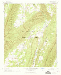 1967 Subligna1968 Print · USGSNorth Georgia's ridge-and-valley country is captured here in the late sixties, showing the rural communities of Chattooga and Walker counties. Researchers can trace local history through sites like Suttles Mill, Bethlehem Ch, and family landmarks such as Salmon Cem.2 unique versions available
 - 1967 Map of Rock Mountain, 1968 Print
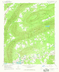 1967 Rock Mountain1968 Print · USGSFloyd County, Georgia, at the edge of the Chattooga County line shows a landscape of ridges and rail-side settlements in the late sixties. Genealogists and historians can locate rural landmarks like Possum Trot Sch, Antioch Ch, and the stop at Oreburg.2 unique versions available
 - 1967 Map of Cedartown West, 1968 Print
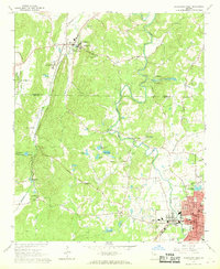 1967 Cedartown West1968 Print · USGSIn the late sixties, the landscape between Cave Spring and Cedartown was defined by small rural settlements and a strong network of country churches. Genealogists and local historians can trace family locations through landmarks like Chubbtown, Red Hill Cem, and the State School for the Deaf.3 unique versions available
 - 1967 Map of Cedartown East, 1968 Print
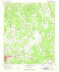 1967 Cedartown East1968 Print · USGSCedartown and its rural surroundings are captured here in the late sixties as a vital crossroads of Georgia's rail and community life. Researchers can find numerous family-named landmarks and old congregations, from Lake Creek Sch to Wesley Chapel and Fish Creek.4 unique versions available
 - 1967 Map of Chattoogaville, 1968 Print
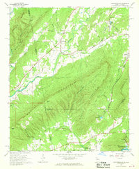 1967 Chattoogaville1968 Print · USGSThe Georgia-Alabama state line and the Chattooga River valley are captured here in the late sixties as the region's rural character remained intact. Genealogists and local historians can trace family-named sites like Johnson Cem, visit Rock Hill Ch, or locate the old Fullerton School.
 - 1967 Map of Indian Mountain, 1969 Print
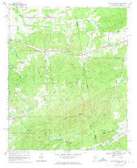 1967 Indian Mountain1969 Print · USGSCherokee County, Alabama and Polk County, Georgia meet here in the late sixties along the slopes of the Appalachian foothills. Local historians can trace the foundations of the area through family-named landmarks and old communities like Forney, Bluffton, and Etna.3 unique versions available
 - 1967 Map of Melson, 1969 Print
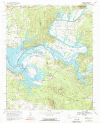 1967 Melson1969 Print · USGSThe Alabama-Georgia state line runs through this mid-century river valley as the Coosa River transforms into the Weiss Reservoir. Researchers can locate numerous family landmarks and rural institutions, including Hardman Cem, Kirks Grove, and the Old Railroad Grade.2 unique versions available
 - 1967 Map of Sugar Valley, 1970 Print
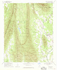 1967 Sugar Valley1970 Print · USGSNorthwest Georgia's ridges and valleys are shown here in the late sixties, where timber and rail lines defined the local economy. Genealogists and historians can locate family sites like Herington Cemetery, the Sugar Valley School, and Camp Sidney Dew.2 unique versions available
 - 1967 Map of Livingston, 1970 Print
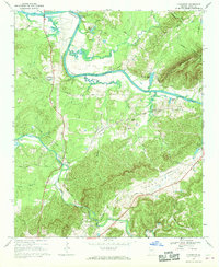 1967 Livingston1970 Print · USGSThe Floyd County countryside in the late 1960s shows a landscape of river bends and small valley settlements. Genealogists and local historians can trace family locations near Livingston, Vans Valley, and country landmarks like Bush Arbor Ch or Flat Rock Cem.2 unique versions available
 - 1967 Map of Rome North, 1971 Print
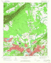 1967 Rome North1971 Print · USGSRome and the surrounding Floyd County valleys are captured during a period of significant postwar growth in the late 1960s. Genealogists and local historians can locate established landmarks like Berry College, the Battey State Hospital, and Oak Hill Memorial Gardens.3 unique versions available
 - 1968 Map of Wax, 1969 Print
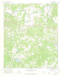 1968 Wax1969 Print · USGSFloyd and Bartow counties in the late sixties were defined by the winding Etowah River and several small rural congregations. Genealogists and historians can trace families through numerous local sites including Spring Hill Ch, Unity Cem, and the settlement at Wax.3 unique versions available
 - 1968 Map of Shannon, 1970 Print
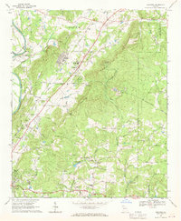 1968 Shannon1970 Print · USGSThe industrial and rural landscape of Floyd County in the late sixties is documented here before major suburban expansion. Researchers can find many family landmarks and civic centers like Morrison Campground, Rush Chapel, and the Model High Sch.4 unique versions available
 - 1968 Map of Rockmart North, 1970 Print
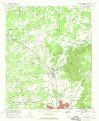 1968 Rockmart North1970 Print · USGSNorthwest Georgia during the late sixties was a landscape of rail-dependent industrial towns and rural family farmsteads. Genealogists can trace ancestral sites like Shady Grove Ch, Rose Hill Cemetery, and the old quarries around Portland.2 unique versions available
 - 1968 Map of Armuchee, 1970 Print
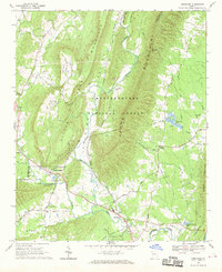 1968 Armuchee1970 Print · USGSFloyd and Chattooga counties are shown here in the late sixties, where the ridges of Johns Mountain meet fertile valley settlements. Researchers can trace family sites at Farmersville Cem or locate local landmarks like the Fish Hatchery and Bethel Ch.
Showing maps 1-25 of 114
Top cities of Floyd County
Frequently asked questions
- What are the different types of historical maps available for Floyd County?
- What is the oldest map of Floyd County?
- Where can I purchase historical maps of Floyd County for my home or office?
- Where can I download high-res historical maps of Floyd County?
- Are there historical topographic maps available for Floyd County?
- Is there historical aerial imagery available for Floyd County?
- Where are historical maps of Floyd County sourced from?