Old Maps of Rome, Georgia for Genealogy
Trace your family roots with 39 historic maps of Rome. These high-res maps reveal old neighborhoods, homesites, landmarks, and streets — helping you uncover where your ancestors lived and how the area evolved over time.
- Explore historic neighborhoods: Identify where your relatives may have lived in the 1800s or 1900s.
- Compare maps over time: Trace the changes in streets, buildings, and landmarks for multi-generational research.
- Perfect for genealogy & ancestry research: Used by family historians and researchers to map out lineage and migration.
These maps are an incredible resource for exploring your personal connection to Rome's past.
Rome, GA maps
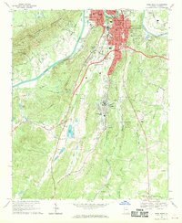
(39)- 1886 Map of Rome
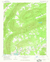
 1886 Rome1886 Print · USGSNorthwest Georgia in the mid-1880s is captured as a vital junction of river navigation and emerging rail power. Genealogists and historians can trace family locations near Rome and Cedartown or find rural landmarks like Kirk's Grave and Cunningham or Agate P.O.
 - 1898 Map of Rome, 1960 Print
 1898 Rome1960 Print · USGSNorthwest Georgia in the late nineteenth century is a landscape of mountain ridges and busy river confluences. Researchers can trace historic river crossings like Perkins Ferry and the rail-side growth of Summerville, Lindale, and Rome.
 - 1899 Map of Rome
 1899 Rome1899 Print · USGSNorthwest Georgia and the Alabama border are captured in the late 1890s, when river travel and mountain gaps dictated the flow of commerce. Genealogists can trace family footprints near Miller Ferry, Raccoon Mills, and the thriving rail hub of Rome.
 - 1904 Map of Rome
 1904 Rome1904 Print · USGSNorthwest Georgia and the Alabama borderlands are captured here during a period of heavy river traffic and expanding rail lines. Genealogists can trace family footprints across dozens of river crossings like Freeman Ferry and early settlements such as Chubbtown or Raccoon Mills.4 unique versions available
 - 1955 Map of Rome
 1955 Rome1955 Print · USGSThe tri-state borderlands of Georgia, Alabama, and Tennessee appear in the mid-fifties as a landscape of ridge-and-valley industry and river navigation. Genealogists can trace family footprints near Chattanooga, the iron works of Gadsden, and textile towns like Trion or Summerville.
 - 1958 Map of Rome, 1966 Print
 1958 Rome1966 Print · USGSNorthwest Georgia and neighboring Tennessee and Alabama are captured here in the late fifties, showcasing a landscape of high ridges and river valleys. Researchers can trace historic rail lines like the Seaboard Air Line RR and explore the bounds of Cloudland Canyon State Park or Fort Oglethorpe.3 unique versions available
 - 1961 Map of Rome
 1961 Rome1961 Print · USGSNorthwest Georgia and neighboring Tennessee and Alabama are shown here at a moment of significant mid-century growth. Researchers can trace the rail networks of the Central of Georgia or locate landmarks within Chickamauga and Chattanooga Nat Military Park.
 - 1963 Map of Rome
 1963 Rome1963 Print · USGSThe tri-state corner of Georgia, Alabama, and Tennessee is captured here during a period of massive reservoir expansion and post-war growth. Genealogists and historians can trace the rail corridors of the Southern Ry or locate landmarks like Fort Oglethorpe and Cloudland Canyon State Park.
 - 1967 Map of Rock Mountain, 1968 Print
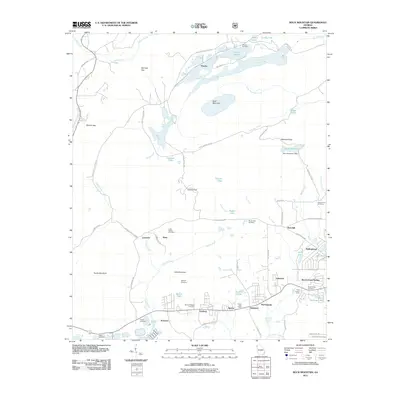
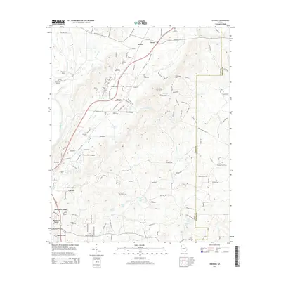
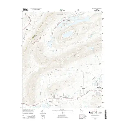
 1967 Rock Mountain1968 Print · USGSFloyd County, Georgia, at the edge of the Chattooga County line shows a landscape of ridges and rail-side settlements in the late sixties. Genealogists and historians can locate rural landmarks like Possum Trot Sch, Antioch Ch, and the stop at Oreburg.2 unique versions available
 - 1967 Map of Rome North, 1971 Print
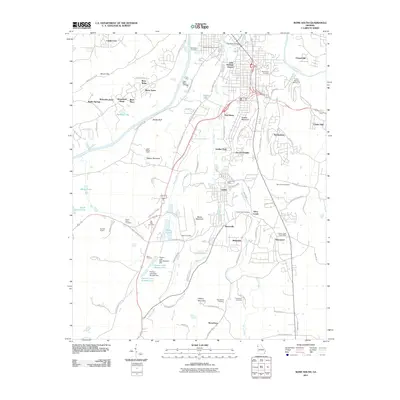
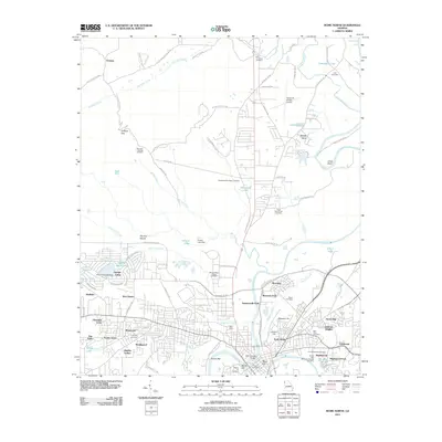
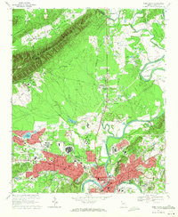 1967 Rome North1971 Print · USGSRome and the surrounding Floyd County valleys are captured during a period of significant postwar growth in the late 1960s. Genealogists and local historians can locate established landmarks like Berry College, the Battey State Hospital, and Oak Hill Memorial Gardens.3 unique versions available
 - 1968 Map of Wax, 1969 Print
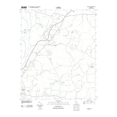
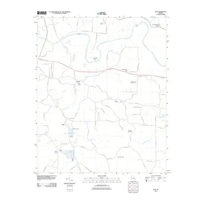
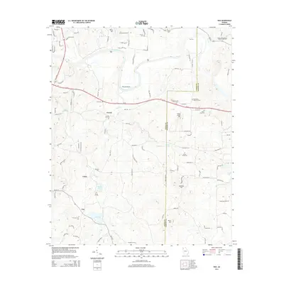
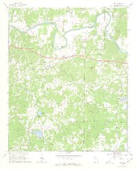 1968 Wax1969 Print · USGSFloyd and Bartow counties in the late sixties were defined by the winding Etowah River and several small rural congregations. Genealogists and historians can trace families through numerous local sites including Spring Hill Ch, Unity Cem, and the settlement at Wax.3 unique versions available
 - 1968 Map of Shannon, 1970 Print
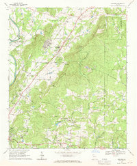 1968 Shannon1970 Print · USGSThe industrial and rural landscape of Floyd County in the late sixties is documented here before major suburban expansion. Researchers can find many family landmarks and civic centers like Morrison Campground, Rush Chapel, and the Model High Sch.4 unique versions available
 - 1968 Map of Rome South, 1970 Print
 1968 Rome South1970 Print · USGSRome and the southern Floyd County corridors are captured in the late sixties as the city expanded along the river valleys. Genealogists and local historians can trace family-named landmarks like Bebo Cem and early settlements including Six Mile and Silver Creek.3 unique versions available
 - 1981 Map of Rome, 1982 Print
 1981 Rome1982 Print · USGSNorthwest Georgia and the Alabama borderlands come into focus in the early eighties, defined by the winding Coosa River and the high ridges of Lookout Mountain. Researchers can trace the rail-and-river economy through Rome, Gadsden, and Cedartown, alongside natural landmarks like Yellow Creek Falls.2 unique versions available
 - 2011 Map of Shannon, 2011 Print
 2011 Shannon2011 Print · USGSCovers Rome, including Pinson, Hermitage, and other nearby areas
 - 2011 Map of Rome South, 2011 Print
 2011 Rome South2011 Print · USGSCovers Rome, including River Ridge, Reeseburg, and other nearby areas
 - 2011 Map of Rock Mountain, 2011 Print
 2011 Rock Mountain2011 Print · USGSCovers Rome, including Bone, Williamsburg Estates, and other nearby areas
 - 2011 Map of Rome North, 2011 Print
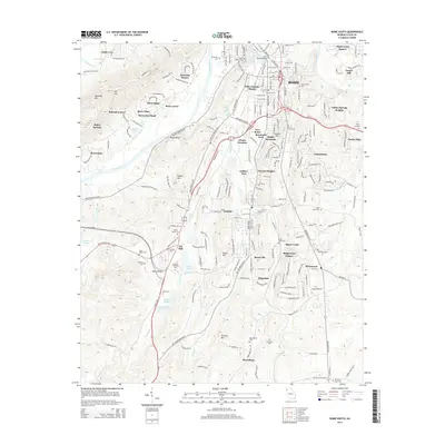
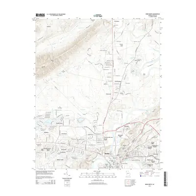
 2011 Rome North2011 Print · USGSCovers Rome, including Sand Springs, Garden Lakes, and other nearby areas
 - 2011 Map of Wax, 2011 Print
 2011 Wax2011 Print · USGSCovers Rome, including Chulio, Etowah, and other nearby areas
 - 2014 Map of Wax, 2014 Print
 2014 Wax2014 Print · USGSCovers Rome, including Chulio, Etowah, and other nearby areas
 - 2014 Map of Shannon, 2014 Print
 2014 Shannon2014 Print · USGSCovers Rome, including Pinson, Hermitage, and other nearby areas
 - 2014 Map of Rome South, 2014 Print
 2014 Rome South2014 Print · USGSCovers Rome, including River Ridge, Reeseburg, and other nearby areas
 - 2014 Map of Rock Mountain, 2014 Print
 2014 Rock Mountain2014 Print · USGSCovers Rome, including Bone, Williamsburg Estates, and other nearby areas
 - 2014 Map of Rome North, 2014 Print
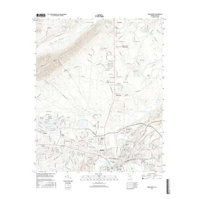
 2014 Rome North2014 Print · USGSCovers Rome, including Sand Springs, Garden Lakes, and other nearby areas
 - 2017 Map of Rome North, 2017 Print
 2017 Rome North2017 Print · USGSCovers Rome, including Sand Springs, Garden Lakes, and other nearby areas
Showing maps 1-25 of 39
Top cities near Rome
- Calhoun historical maps
- Cedartown historical maps
- Summerville historical maps
- Adairsville historical maps
- Cave Spring historical maps
- Aragon historical maps
See more
Top neighborhoods of Rome
- Brookwood historical maps
- Westwood historical maps
- Huffaker historical maps
- Castle Cove historical maps
- Berryhill historical maps
- Rollingwood historical maps
See more
Frequently asked questions
- What are the different types of historical maps available for Rome?
- What is the oldest map of Rome?
- Where can I purchase historical maps of Rome for my home or office?
- Where can I download high-res historical maps of Rome?
- Are there historical topographic maps available for Rome?
- Is there historical aerial imagery available for Rome?
- Where are historical maps of Rome sourced from?