Old Maps of Providence, Georgia
Explore 12 old maps of Providence, spanning from 1954 to today. These high-resolution historic maps reveal how streets, neighborhoods, landmarks, and natural features evolved over time — perfect for genealogy, metal detecting, research, and local history exploration.
What you can do with these maps:
- See how Providence changed over time: Compare historical maps to modern-day views to trace roads, homesites, rail lines & more.
- View detailed metadata: Each map includes creators, publishers, year, scale, and archive source.
- Overlay maps with satellite & LiDAR: Visualize the past alongside modern tools to explore terrain & human change.
- Trusted historical sources: Maps sourced from the USGS, Library of Congress, and other archives.
- Access maps your way: View online, download high-res files, or order prints for personal or research use.
Start exploring old maps of Providence to uncover forgotten places, hidden landmarks, and the deep history beneath your feet.
Providence, GA maps
(12)- 1954 Map of Tallahassee, 1967 Print
 1954 Tallahassee1967 Print · USGSThe Florida Panhandle and South Georgia are captured here during a period of mid-century growth and military expansion. Researchers can trace the development of Panama City, the footprint of Tyndall Air Force Base, and the rail lines of the Atlantic Coast Line.4 unique versions available
 - 1955 Map of Whigham, 1957 Print
 1955 Whigham1957 Print · USGSThe rural landscape of South Georgia comes alive in the mid-1950s, showing a region shaped by dual rail lines and scattered agricultural hamlets. Genealogists and historians can trace family roots through numerous churches and schools like Union Spring Ch and Bell-Dixon Sch, or locate industrial sites such as the local Strip Mines.2 unique versions available
 - 1959 Map of Tallahassee
 1959 Tallahassee1959 Print · USGSFlorida's Panhandle and the Big Bend region appear here in the mid-fifties, showing a landscape defined by its great river systems and developing coast. Trace the early layout of Panama City, the expansive Apalachicola National Forest, and the coastal St Marks Lighthouse.
 - 1960 Map of Tallahassee
 1960 Tallahassee1960 Print · USGSThe Florida Panhandle and southern Georgia are captured here in the mid-twentieth century, showing a region defined by its rivers and military installations. Genealogists and historians can trace the growth of Tallahassee or locate coastal landmarks like the St Marks Lighthouse and Tyndall Air Force Base.
 - 1974 Map of Reno, 1976 Print
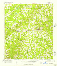
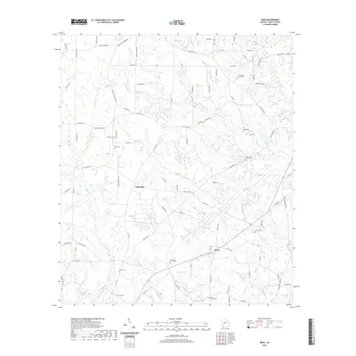
 1974 Reno1976 Print · USGSGrady County rural life in the mid-seventies is defined by its quiet settlements and an extensive network of country churches. Researchers can trace family ties through Nickleville, Butler Cem, and the many local congregations like St Lukes Ch.
 - 1978 Map of Bainbridge, 1980 Print
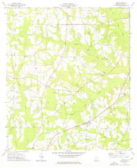
 1978 Bainbridge1980 Print · USGSIn the late seventies, this Georgia-Florida borderland was defined by the confluence of the Flint and Chattahoochee rivers. Trace the region's infrastructure via the Seaboard Coast Line Railroad and find sites like Bainbridge State Hospital.
 - 1988 Map of Tallahassee
 1988 Tallahassee1988 Print · USGSThe Florida Panhandle and South Georgia are captured here in the late eighties, showing the expansion of the regional highway network and coastal growth. Genealogists and historians can trace rail lines like the Seaboard System Railroad or locate family roots in Blountstown, Graceville, or Crawfordville.2 unique versions available
 - 2011 Map of Reno, 2011 Print
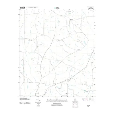 2011 Reno2011 Print · USGSCovers Providence, including Tama, Reno, and other nearby areas
 - 2014 Map of Reno, 2014 Print
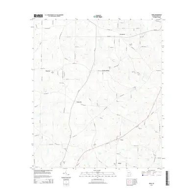 2014 Reno2014 Print · USGSCovers Providence, including Tama, Reno, and other nearby areas
 - 2017 Map of Reno, 2017 Print
 2017 Reno2017 Print · USGSCovers Providence, including Tama, Reno, and other nearby areas
 - 2020 Map of Reno, 2020 Print
 2020 Reno2020 Print · USGSCovers Providence, including Tama, Reno, and other nearby areas
 - 2024 Map of Reno, 2024 Print
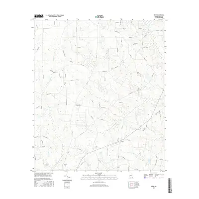
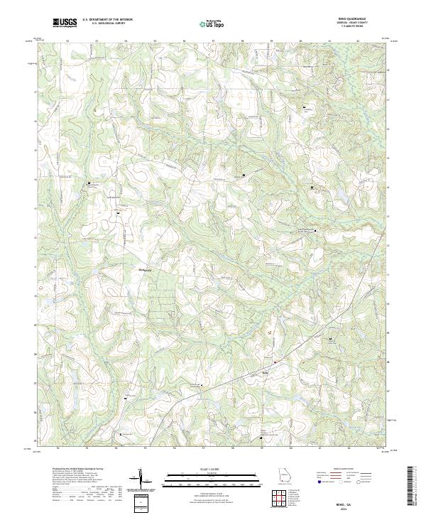 2024 Reno2024 Print · USGSGrady County, Georgia, is revealed here as it appears today, a region defined by its long-standing rural settlements and family legacies. Genealogists and historians can trace local roots through numerous sites like Nickleville, the Harrison Cem, and Saint Luke Church Cem.
End of results
Showing maps 1-12 of 12
Top cities near Providence
- Bainbridge historical maps
- Cairo historical maps
- Havana historical maps
- Meigs historical maps
- Attapulgus historical maps
- Whigham historical maps
See more
Frequently asked questions
- What are the different types of historical maps available for Providence?
- What is the oldest map of Providence?
- Where can I purchase historical maps of Providence for my home or office?
- Where can I download high-res historical maps of Providence?
- Are there historical topographic maps available for Providence?
- Is there historical aerial imagery available for Providence?
- Where are historical maps of Providence sourced from?