Old Maps of Mount Airy, Georgia for Academic Research
Study the evolution of Mount Airy with 22 high-resolution historic maps. Whether you're teaching, researching, or modeling changes in land use, these maps provide essential visual documentation of urban, environmental, and geographic change.
- Analyze long-term change: Track patterns in development, transportation, and natural features.
- Ideal for environmental or urban studies: Support academic projects with primary historical map data.
- Use in the classroom or lab: Educators and researchers rely on these maps to bring historical context to life.
These maps are a powerful tool for teaching, research, and visualizing how Mount Airy has changed over the decades.
Mount Airy, GA maps
(22)- 1886 Map of Dahlonega
 1886 Dahlonega1886 Print · USGSThe North Georgia mountains in the mid-1880s reveal a landscape of mining camps and early settlements before the modern era. Genealogists and historians can trace family-named landmarks like Helton's Field and Osbornes, or locate the Findley Mine and the Indian Mound.
 - 1886 Map of Walhalla
 1886 Walhalla1886 Print · USGSThe foothills of the Blue Ridge come alive in this late nineteenth-century survey of the Georgia and South Carolina borderlands. Genealogists and historians can trace the early rail networks through Walhalla and Toccoa, or locate family landmarks like Batchelor's Retreat and Mosley's Mill.
 - 1892 Map of Dahlonega
 1892 Dahlonega1892 Print · USGSThe North Georgia mountains come alive in the late nineteenth century, showing the rugged terrain around the mining hub of Dahlonega. Genealogists and historians can trace family-named sites like Osbornes, find the elusive Gold Mine, and locate the Indian Mound.2 unique versions available
 - 1892 Map of Walhalla
 1892 Walhalla1892 Print · USGSThe tri-state border region of Georgia and the Carolinas comes alive in this late nineteenth-century survey. Genealogists and historians can trace family-named landmarks like Young Davis's or locate river crossings like Jenkins's Ferry and the Bachelors Retreat P.O.7 unique versions available
 - 1896 Map of Walhalla
 1896 Walhalla1896 Print · USGSThe tri-state mountain country comes alive in this late 1800s survey of the Oconee and Habersham borderlands. Researchers can trace early river commerce and transit through Ramsey Ferry, the tracks of the Blue Ridge Railroad, and the industrial site of Mosley Mill.
 - 1896 Map of Dahlonega
 1896 Dahlonega1896 Print · USGSThe Blue Ridge and North Georgia gold belt are shown here in the 1890s, when mining and mountain gaps defined local travel. Genealogists can trace family roots in Dahlonega, Porter Springs, and the Findley Mine or locate early settlements like Nacoochee.
 - 1903 Map of Dahlonega
 1903 Dahlonega1903 Print · USGSNorth Georgia and the Blue Ridge were defined by mountain settlements and early industry at the turn of the century. Genealogists and historians can trace family locations across the Nacoochee Valley, locate the Asbestos Mines, or find old sites like Loudsville and Porter Springs.5 unique versions available
 - 1954 Map of Greenville, 1965 Print
 1954 Greenville1965 Print · USGSThe Upstate and Northeast Georgia are captured here during a decade of massive transformation as new reservoirs reshaped the Piedmont. Genealogists and hikers can trace the Appalachian Trail over Brasstown Bald or locate old community centers like Demorest, Westminster, and Royston.3 unique versions available
 - 1958 Map of Greenville
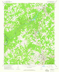
 1958 Greenville1958 Print · USGSThe Piedmont and Blue Ridge foothills come alive in this mid-century survey of the Upstate and Northeast Georgia. Trace the regional rail-and-river economy through the Southern Railway corridors and early reservoir developments like Lake Sidney Lanier.
 - 1964 Map of Ayersville, 1965 Print
 1964 Ayersville1965 Print · USGSNortheast Georgia in the mid-sixties reveals a landscape of national forest land, mountain ridges, and rail-side settlements. Genealogists and historians can trace family-named sites like Shorts Mill, Ducket Lake, and churches such as Mt Bethel Ch or Antioch Ch.3 unique versions available
 - 1964 Map of Clarkesville, 1965 Print
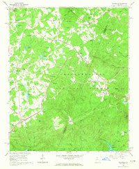
 1964 Clarkesville1965 Print · USGSHabersham County during the mid-sixties reveals a landscape of growing towns and deep-rooted rural communities. Genealogists and local historians can trace family locations near Fairfield Ch, Mud Creek Sch, or the industrial Habersham Mills Lake.3 unique versions available
 - 1981 Map of Toccoa, 1982 Print
 1981 Toccoa1982 Print · USGSThe tri-state mountain region where Georgia meets the Carolinas is shown here in the early eighties. Genealogists and historians can trace family-named locations and settlements from Dahlonega to Tallulah Falls, along with the Southern rail corridor.2 unique versions available
 - 2011 Map of Clarkesville, 2011 Print
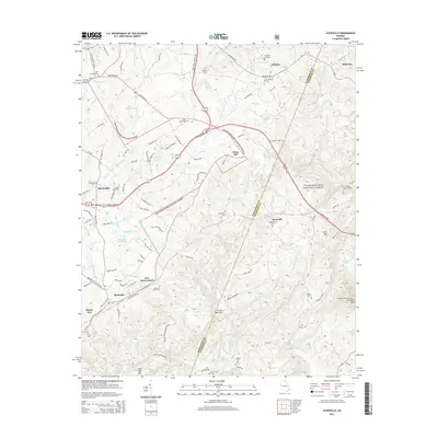
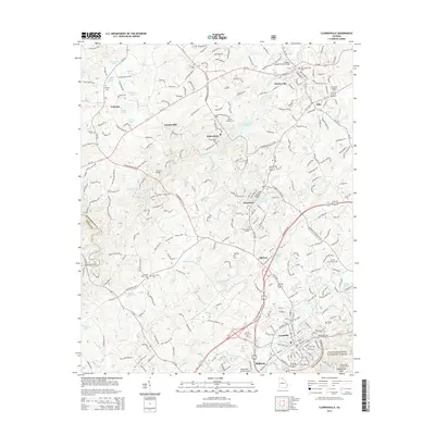
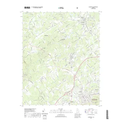
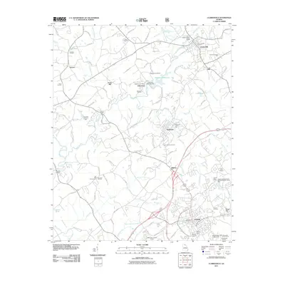 2011 Clarkesville2011 Print · USGSCovers Mount Airy, including Cornelia, Baldwin, and other nearby areas
 - 2011 Map of Ayersville, 2011 Print
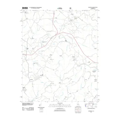 2011 Ayersville2011 Print · USGSCovers Mount Airy, including Toccoa, Ayersville, and other nearby areas
 - 2014 Map of Ayersville, 2014 Print
 2014 Ayersville2014 Print · USGSCovers Mount Airy, including Toccoa, Ayersville, and other nearby areas
 - 2014 Map of Clarkesville, 2014 Print
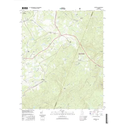
 2014 Clarkesville2014 Print · USGSCovers Mount Airy, including Cornelia, Baldwin, and other nearby areas
 - 2017 Map of Ayersville, 2017 Print
 2017 Ayersville2017 Print · USGSCovers Mount Airy, including Toccoa, Ayersville, and other nearby areas
 - 2017 Map of Clarkesville, 2017 Print
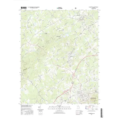 2017 Clarkesville2017 Print · USGSCovers Mount Airy, including Cornelia, Baldwin, and other nearby areas
 - 2020 Map of Clarkesville, 2020 Print
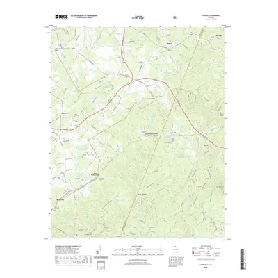
 2020 Clarkesville2020 Print · USGSCovers Mount Airy, including Cornelia, Baldwin, and other nearby areas
 - 2020 Map of Ayersville, 2020 Print
 2020 Ayersville2020 Print · USGSCovers Mount Airy, including Toccoa, Ayersville, and other nearby areas
 - 2024 Map of Ayersville, 2024 Print
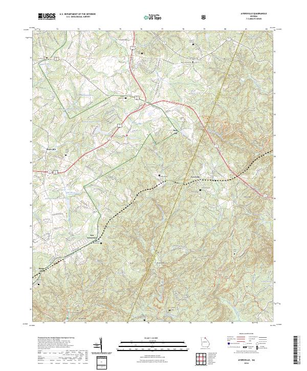 2024 Ayersville2024 Print · USGSGeorgia's upland borderlands near the turn of the millennium reveal a landscape of dispersed mountain settlements and national forest lands. Local researchers can trace family landmarks like Welcome Home Cem and the small community of New Switzerland near the banks of Hazel Creek.
 - 2024 Map of Clarkesville, 2024 Print
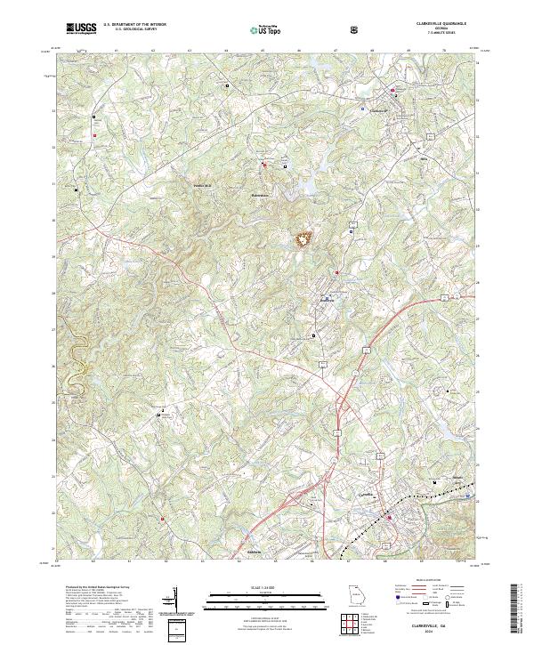 2024 Clarkesville2024 Print · USGSHabersham County in the early twenty-first century reveals a dense network of Piedmont settlements and historic river crossings. Genealogists and local historians can trace family sites from the Habersham County Courthouse to Heads Ferry and Victory Cem.
End of results
Showing maps 1-22 of 22
Top cities near Mount Airy
- Toccoa historical maps
- Cornelia historical maps
- Baldwin historical maps
- Lula historical maps
- Clarkesville historical maps
- Demorest historical maps
See more
Frequently asked questions
- What are the different types of historical maps available for Mount Airy?
- What is the oldest map of Mount Airy?
- Where can I purchase historical maps of Mount Airy for my home or office?
- Where can I download high-res historical maps of Mount Airy?
- Are there historical topographic maps available for Mount Airy?
- Is there historical aerial imagery available for Mount Airy?
- Where are historical maps of Mount Airy sourced from?