2000s (21st Century) Maps of Gainesville, Georgia
Explore 20 historic maps of Gainesville from the 2000s (21st Century). These maps offer a rare glimpse into what life looked like during the 2000s — showing old roads, neighborhoods, homes, and landmarks that have changed or disappeared over time.
Whether you're researching your family's past, planning a metal detecting trip, or studying how Gainesville's landscape evolved across the 2000s, these high-resolution maps are a powerful tool for exploring the history of this region.
- Focus on a specific era: All maps on this page are from the 2000s, giving you a focused view of this time period.
- See what’s changed: Compare century-old streets, trails, and buildings to today's modern landscape using overlays and satellite layers.
- Research with precision: Use these maps for genealogy, historical research, land use analysis, or educational projects.
- View, download, or print: Maps are fully viewable online in high resolution, and can be downloaded or printed for your own records.
Start exploring Gainesville's history through authentic maps from the 2000s. This is your window into the past.
Gainesville, GA maps
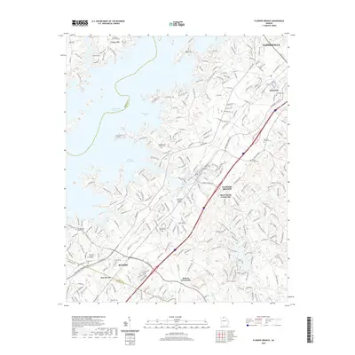
(20)- 2011 Map of Flowery Branch, 2011 Print
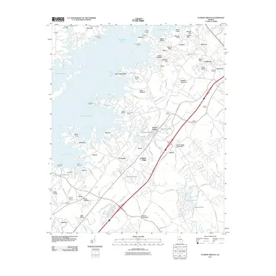 2011 Flowery Branch2011 Print · USGSCovers Gainesville, including Buford, Flowery Branch, and other nearby areas
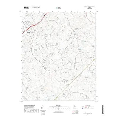
 - 2011 Map of Chestnut Mountain, 2011 Print
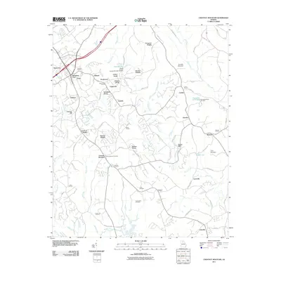 2011 Chestnut Mountain2011 Print · USGSCovers Gainesville, including Braselton, Oakwood, and other nearby areas
 - 2011 Map of Gainesville, 2011 Print
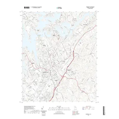
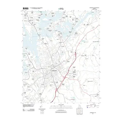 2011 Gainesville2011 Print · USGSCovers Gainesville, including Oakwood, Bailey, and other nearby areas
 - 2011 Map of Chestatee, 2011 Print
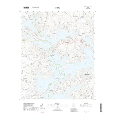
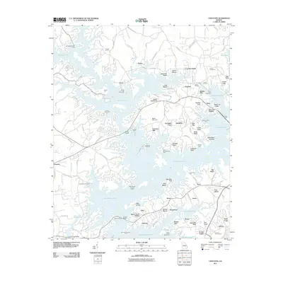 2011 Chestatee2011 Print · USGSCovers Gainesville, including Oakwood, Mill Ridge, and other nearby areas
 - 2014 Map of Gainesville, 2014 Print
 2014 Gainesville2014 Print · USGSCovers Gainesville, including Oakwood, Bailey, and other nearby areas
 - 2014 Map of Chestatee, 2014 Print
 2014 Chestatee2014 Print · USGSCovers Gainesville, including Oakwood, Mill Ridge, and other nearby areas
 - 2014 Map of Flowery Branch, 2014 Print
 2014 Flowery Branch2014 Print · USGSCovers Gainesville, including Buford, Flowery Branch, and other nearby areas
 - 2014 Map of Chestnut Mountain, 2014 Print
 2014 Chestnut Mountain2014 Print · USGSCovers Gainesville, including Braselton, Oakwood, and other nearby areas
 - 2017 Map of Chestnut Mountain, 2017 Print
 2017 Chestnut Mountain2017 Print · USGSCovers Gainesville, including Braselton, Oakwood, and other nearby areas
 - 2017 Map of Gainesville, 2017 Print
 2017 Gainesville2017 Print · USGSCovers Gainesville, including Oakwood, Bailey, and other nearby areas
 - 2017 Map of Chestatee, 2017 Print
 2017 Chestatee2017 Print · USGSCovers Gainesville, including Oakwood, Mill Ridge, and other nearby areas
 - 2017 Map of Flowery Branch, 2017 Print
 2017 Flowery Branch2017 Print · USGSCovers Gainesville, including Buford, Flowery Branch, and other nearby areas
 - 2020 Map of Chestnut Mountain, 2020 Print
 2020 Chestnut Mountain2020 Print · USGSCovers Gainesville, including Braselton, Oakwood, and other nearby areas
 - 2020 Map of Flowery Branch, 2020 Print
 2020 Flowery Branch2020 Print · USGSCovers Gainesville, including Buford, Flowery Branch, and other nearby areas
 - 2020 Map of Chestatee, 2020 Print
 2020 Chestatee2020 Print · USGSCovers Gainesville, including Oakwood, Mill Ridge, and other nearby areas
 - 2020 Map of Gainesville, 2020 Print
 2020 Gainesville2020 Print · USGSCovers Gainesville, including Oakwood, Bailey, and other nearby areas
 - 2024 Map of Chestnut Mountain, 2024 Print
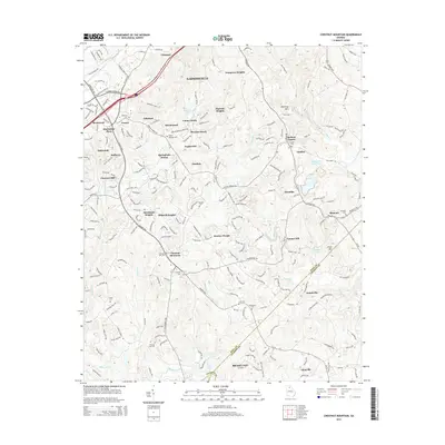
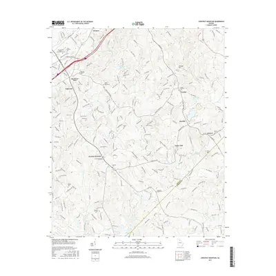
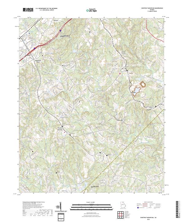 2024 Chestnut Mountain2024 Print · USGSHall County in the early twenty-first century shows a landscape where historic rural crossroads are meeting modern suburban growth. Genealogists can locate family burial sites at Redwine Methodist Cem and Martin Cem, or trace the rail corridor of the Norfolk Southern.
 - 2024 Map of Chestatee, 2024 Print
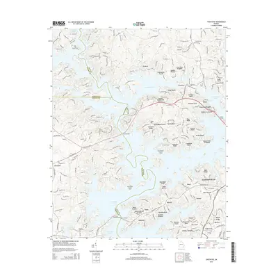
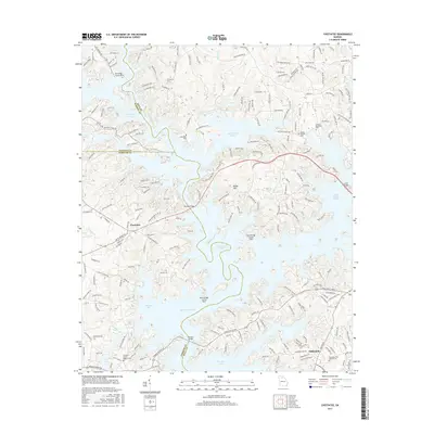
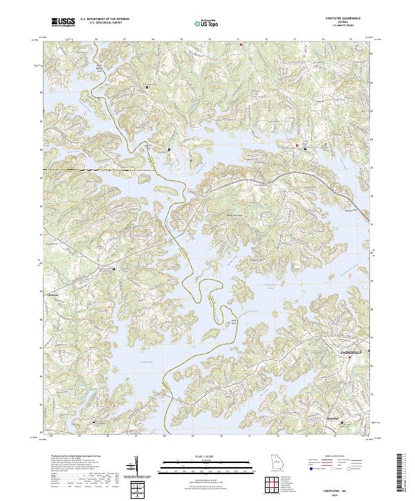 2024 Chestatee2024 Print · USGSHall County and the shores of Lake Lanier are shown in detail as the modern lakeside community meets its rural roots. Researchers can trace historic river crossings like Keith Ferry and find family-named landmarks including Wooley Ford and Chestatee Cem.
 - 2024 Map of Flowery Branch, 2024 Print
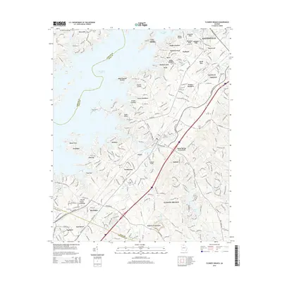
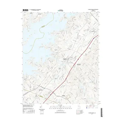
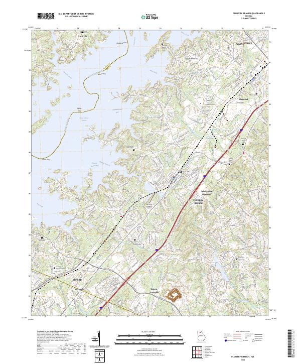 2024 Flowery Branch2024 Print · USGSNortheast Georgia in the early 2020s shows a landscape of modern infrastructure and lakeside living shaped by the historic flooding of the Chattahoochee. Researchers can trace family history at Piney Grove Church Cem or find landmarks like The Flying W Ranch Airport and Goddards Ford.
 - 2024 Map of Gainesville, 2024 Print
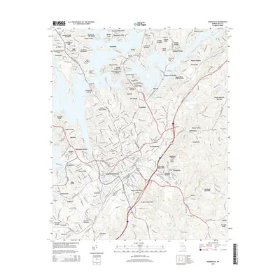
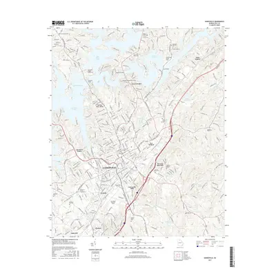
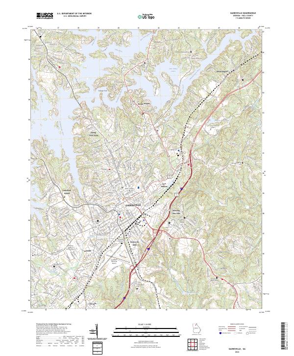 2024 Gainesville2024 Print · USGSGainesville and Hall County are shown here at the heart of their modern development near the shores of Lake Lanier. Genealogists and historians can trace industrial roots at Gainesville Mills, find family records at Alta Vista Cem, and locate Brenau University and Chicopee.
End of results
Showing maps 1-20 of 20
Top cities near Gainesville
- Sugar Hill historical maps
- Suwanee historical maps
- Buford historical maps
- Jefferson historical maps
- Braselton historical maps
- Dahlonega historical maps
See more
Top neighborhoods of Gainesville
- Ahaluna historical maps
- Pine Point historical maps
- Sidney on Lanier historical maps
- Northcliff Colony historical maps
- Spring View Acres historical maps
- Woodlake historical maps
See more
Frequently asked questions
- What are the different types of historical maps available for Gainesville?
- What is the oldest map of Gainesville?
- Where can I purchase historical maps of Gainesville for my home or office?
- Where can I download high-res historical maps of Gainesville?
- Are there historical topographic maps available for Gainesville?
- Is there historical aerial imagery available for Gainesville?
- Where are historical maps of Gainesville sourced from?