Old Maps of Forrester, Georgia for Academic Research
Study the evolution of Forrester with 11 high-resolution historic maps. Whether you're teaching, researching, or modeling changes in land use, these maps provide essential visual documentation of urban, environmental, and geographic change.
- Analyze long-term change: Track patterns in development, transportation, and natural features.
- Ideal for environmental or urban studies: Support academic projects with primary historical map data.
- Use in the classroom or lab: Educators and researchers rely on these maps to bring historical context to life.
These maps are a powerful tool for teaching, research, and visualizing how Forrester has changed over the decades.
Forrester, GA maps
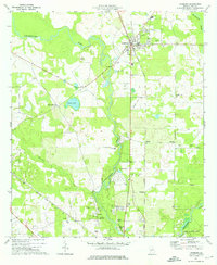
(11)- 1953 Map of Dothan, 1966 Print
 1953 Dothan1966 Print · USGSSoutheast Alabama and Southwest Georgia are captured during a period of massive hydraulic and military expansion in the mid-fifties. Genealogists and historians can trace rural landmarks like Antioch Church and School, the Andrew Jackson Monument, and the early footprint of Fort Rucker Military Reservation.3 unique versions available
 - 1954 Map of Dothan
 1954 Dothan1954 Print · USGSSoutheast Alabama and Southwest Georgia are seen here in the mid-fifties, during a decade of military expansion and rural transition. Genealogists can trace the location of country schools like Little Zion School or the grounds of Kolomoki Mounds State Park.
 - 1955 Map of Dothan
 1955 Dothan1955 Print · USGSSoutheast Alabama and Southwest Georgia are captured here in the mid-fifties, showing a landscape of river-port history and growing military bases. Researchers can trace rural life via the Andrew Jackson Monument, Bauxite mines, and the Central of Georgia RR.
 - 1956 Map of Albany, 1958 Print
 1956 Albany1958 Print · USGSMid-century Albany and the Flint River valley are captured here just as the Cold War military footprint was expanding. Genealogists can trace family landmarks like Radium Springs, the Turner Air Force Base, and Pecan City.2 unique versions available
 - 1973 Map of Leesburg, 1976 Print
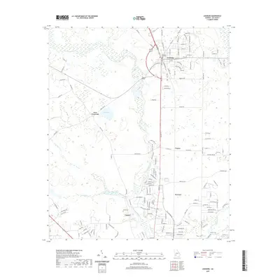
 1973 Leesburg1976 Print · USGSIn the early seventies, this Lee County area centered on the railroad crossing at Leesburg and the winding banks of Kinchafoonee Creek. Genealogists can trace rural landmarks from Byne Crossroads to historic sites like Palmyra Cem and Alpha Ch.2 unique versions available
 - 1981 Map of Albany, 1982 Print
 1981 Albany1982 Print · USGSSouthwest Georgia in the early eighties was a region defined by its rail hubs and winding river systems. Here you can trace the agricultural landscape from Albany to Dawson, locating sites like Radium Springs, the U S Naval Reservation, and the historic junction at Shellman.
 - 2011 Map of Leesburg, 2011 Print
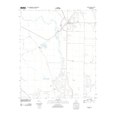 2011 Leesburg2011 Print · USGSCovers Forrester, including Leesburg, Palmyra, and other nearby areas
 - 2014 Map of Leesburg, 2014 Print
 2014 Leesburg2014 Print · USGSCovers Forrester, including Leesburg, Palmyra, and other nearby areas
 - 2017 Map of Leesburg, 2017 Print
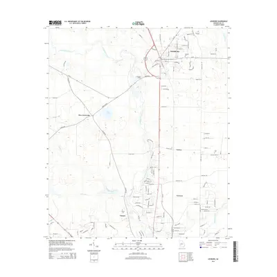
 2017 Leesburg2017 Print · USGSCovers Forrester, including Leesburg, Palmyra, and other nearby areas
 - 2020 Map of Leesburg, 2020 Print
 2020 Leesburg2020 Print · USGSCovers Forrester, including Leesburg, Palmyra, and other nearby areas
 - 2024 Map of Leesburg, 2024 Print
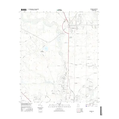
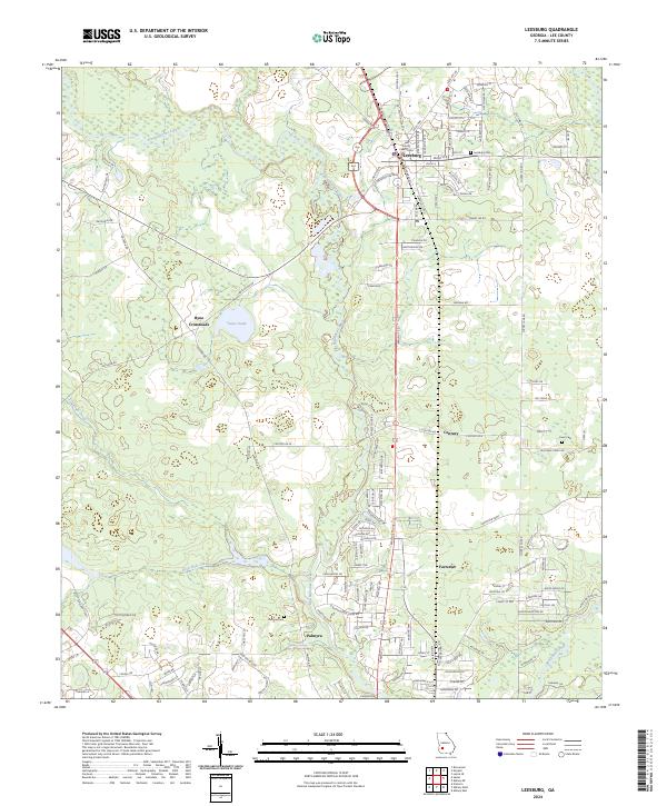 2024 Leesburg2024 Print · USGSLeesburg and its surrounding Lee County townships are captured here during a period of steady growth along the Georgia coastal plain. Genealogists and local historians can trace family locations near Palmyra Cem, Byne Crossroads, and the historic Lee County Courthouse.
End of results
Showing maps 1-11 of 11
Top cities near Forrester
- Albany historical maps
- Putney historical maps
- Leesburg historical maps
- Bronwood historical maps
- Sasser historical maps
Frequently asked questions
- What are the different types of historical maps available for Forrester?
- What is the oldest map of Forrester?
- Where can I purchase historical maps of Forrester for my home or office?
- Where can I download high-res historical maps of Forrester?
- Are there historical topographic maps available for Forrester?
- Is there historical aerial imagery available for Forrester?
- Where are historical maps of Forrester sourced from?