Old Maps of Welchel Valley, Lumpkin County for Hiking & Exploration
Hike through history with 14 historic maps of Welchel Valley. Explore old trails, ghost towns, and forgotten backroads — perfect for outdoor adventurers and local explorers.
- Rediscover forgotten places: Map out old mining camps, roads, and footpaths that no longer exist on modern maps.
- Layer with modern tools: Combine with LiDAR or satellite views to plan hikes through historical terrain.
- Made for exploration: Popular among hikers, overlanders, and local history lovers.
Use these maps to find adventure and explore the hidden past of Welchel Valley.
Welchel Valley, Lumpkin County maps
(14)- 1890 Map of Suwanee
 1890 Suwanee1890 Print · USGSCovers Welchel Valley, including Sandy Springs, Roswell, and other nearby areas
 - 1891 Map of Gainesville
 1891 Gainesville1891 Print · USGSCovers Welchel Valley, including Gainesville, Winder, and other nearby areas5 unique versions available
 - 1894 Map of Suwanee
 1894 Suwanee1894 Print · USGSCovers Welchel Valley, including Sandy Springs, Roswell, and other nearby areas6 unique versions available
 - 1954 Map of Greenville, 1965 Print
 1954 Greenville1965 Print · USGSCovers Welchel Valley, including Athens, Greenville, and other nearby areas2 unique versions available
 - 1955 Map of Rome
 1955 Rome1955 Print · USGSCovers Welchel Valley, including Chattanooga, Sandy Springs, and other nearby areas
 - 1958 Map of Greenville
 1958 Greenville1958 Print · USGSCovers Welchel Valley, including Athens, Greenville, and other nearby areas
 - 1958 Map of Rome, 1966 Print
 1958 Rome1966 Print · USGSCovers Welchel Valley, including Chattanooga, Sandy Springs, and other nearby areas3 unique versions available
 - 1961 Map of Rome
 1961 Rome1961 Print · USGSCovers Welchel Valley, including Chattanooga, Sandy Springs, and other nearby areas
 - 1963 Map of Rome
 1963 Rome1963 Print · USGSCovers Welchel Valley, including Chattanooga, Sandy Springs, and other nearby areas
 - 1964 Map of Murrayville, 1965 Print
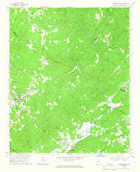
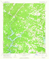 1964 Murrayville1965 Print · USGSCovers Welchel Valley, including Dahlonega, Indian Hills, and other nearby areas4 unique versions available
 - 1964 Map of Dawsonville, 1966 Print
 1964 Dawsonville1966 Print · USGSCovers Welchel Valley, including Dawsonville, Auraria, and other nearby areas2 unique versions available
 - 1979 Map of Commerce, 1980 Print
 1979 Commerce1980 Print · USGSCovers Welchel Valley, including Athens, Gainesville, and other nearby areas2 unique versions available
 - 1981 Map of Cartersville, 1982 Print
 1981 Cartersville1982 Print · USGSCovers Welchel Valley, including Sandy Springs, Roswell, and other nearby areas2 unique versions available
 - 1997 Map of Dawsonville, 1999 Print
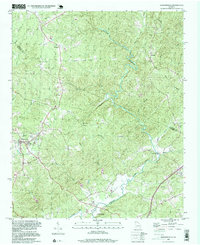 1997 Dawsonville1999 Print · USGSCovers Welchel Valley, including Dawsonville, Auraria, and other nearby areas
End of results
Showing maps 1-14 of 14
Frequently asked questions
- What are the different types of historical maps available for Welchel Valley?
- What is the oldest map of Welchel Valley?
- Where can I purchase historical maps of Welchel Valley for my home or office?
- Where can I download high-res historical maps of Welchel Valley?
- Are there historical topographic maps available for Welchel Valley?
- Is there historical aerial imagery available for Welchel Valley?
- Where are historical maps of Welchel Valley sourced from?