2020s Maps of Colquitt, Georgia
Explore 4 historic maps of Colquitt from the 2020s. These maps offer a rare glimpse into what life looked like during the 2020s — showing old roads, neighborhoods, homes, and landmarks that have changed or disappeared over time.
Whether you're researching your family's past, planning a metal detecting trip, or studying how Colquitt's landscape evolved across the 2020s, these high-resolution maps are a powerful tool for exploring the history of this region.
- Focus on a specific era: All maps on this page are from the 2020s, giving you a focused view of this time period.
- See what’s changed: Compare century-old streets, trails, and buildings to today's modern landscape using overlays and satellite layers.
- Research with precision: Use these maps for genealogy, historical research, land use analysis, or educational projects.
- View, download, or print: Maps are fully viewable online in high resolution, and can be downloaded or printed for your own records.
Start exploring Colquitt's history through authentic maps from the 2020s. This is your window into the past.
Colquitt, GA maps
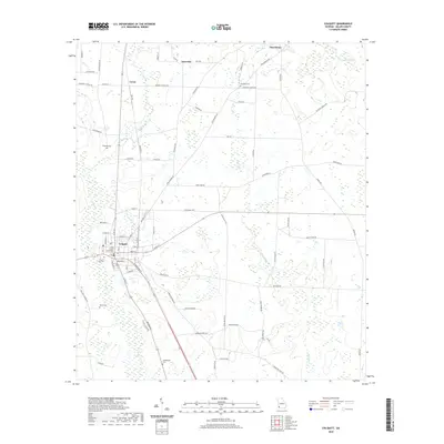
(4)- 2020 Map of Donalsonville NE, 2020 Print
 2020 Donalsonville NE2020 Print · USGSCovers Colquitt, including Miller County, United States, and other nearby areas
 - 2020 Map of Colquitt, 2020 Print
 2020 Colquitt2020 Print · USGSCovers Colquitt, including Corea, Jeterville, and other nearby areas
 - 2024 Map of Donalsonville NE, 2024 Print
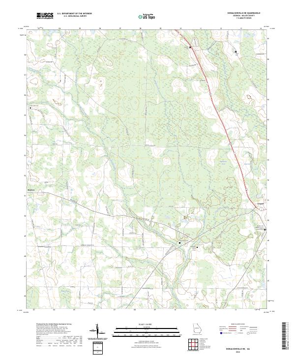 2024 Donalsonville NE2024 Print · USGSMiller County's agricultural heartland is documented here in the early twenty-first century, centered on the historic crossroads of Colquitt. Genealogists and historians can trace numerous family-named landmarks including the Newberry Family Cem and the Pleasant Hill Free Will Baptist Church Cem.
 - 2024 Map of Colquitt, 2024 Print
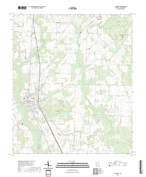 2024 Colquitt2024 Print · USGSMiller County's seat at Colquitt and the surrounding farm country are mapped here in the early twenty-first century. Genealogists can locate numerous rural burial sites including Thompson Church Cem, Rawls Cem, and Mt Olive Church Cem near the Macedonia settlement.
End of results
Showing maps 1-4 of 4
Top cities near Colquitt
- Blakely historical maps
- Donalsonville historical maps
- Iron City historical maps
- Damascus historical maps
- Brinson historical maps
Frequently asked questions
- What are the different types of historical maps available for Colquitt?
- What is the oldest map of Colquitt?
- Where can I purchase historical maps of Colquitt for my home or office?
- Where can I download high-res historical maps of Colquitt?
- Are there historical topographic maps available for Colquitt?
- Is there historical aerial imagery available for Colquitt?
- Where are historical maps of Colquitt sourced from?