Old Maps of Godfrey, Georgia for Hiking & Exploration
Hike through history with 18 historic maps of Godfrey. Explore old trails, ghost towns, and forgotten backroads — perfect for outdoor adventurers and local explorers.
- Rediscover forgotten places: Map out old mining camps, roads, and footpaths that no longer exist on modern maps.
- Layer with modern tools: Combine with LiDAR or satellite views to plan hikes through historical terrain.
- Made for exploration: Popular among hikers, overlanders, and local history lovers.
Use these maps to find adventure and explore the hidden past of Godfrey.
Godfrey, GA maps
(18)- 1953 Map of Athens, 1966 Print
 1953 Athens1966 Print · USGSGeorgia's Piedmont and Savannah River borderlands come alive in this mid-century survey of the region surrounding Athens and Augusta. Trace the rail-and-river economy through the Georgia RR and landmarks like the Fort Gordon Military Reservation.3 unique versions available
 - 1958 Map of Athens
 1958 Athens1958 Print · USGSNorth-central Georgia and the Savannah River valley are captured in the late fifties, showing the region as the new reservoirs were filling. Researchers can trace historic rail lines like the Georgia RR and locate rural landmarks such as Social Circle, Graves Mountain, and the Fort Gordon Military Reservation.
 - 1959 Map of Athens
 1959 Athens1959 Print · USGSNortheast Georgia and the South Carolina borderlands appear here in the mid-fifties, during a decade of infrastructure growth. Genealogists and historians can trace the rail-and-river geography of towns like Social Circle, the sprawl of Fort Gordon Military Reservation, and the newly formed Clark Hill Reservoir.
 - 1963 Map of Athens
 1963 Athens1963 Print · USGSGeorgia's Piedmont and the Savannah River valley are captured in the early sixties as major reservoirs and military installations reshaped the landscape. Researchers can trace the development of Clark Hill Reservoir, locate the Fort Gordon Military Reservation, and find historic towns like Social Circle and Eatonton.
 - 1972 Map of Shady Dale, 1974 Print
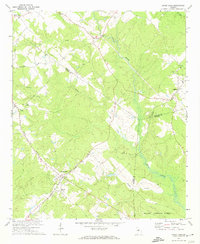 1972 Shady Dale1974 Print · USGSJasper and Morgan County crossroads are preserved here during the early seventies, centered on the rail-based growth of Shady Dale and Machen. Researchers can trace old family sites and local landmarks like Pleasant Grove Ch and the Central of Georgia rail line.2 unique versions available
 - 1972 Map of Rock Eagle Lake, 1974 Print
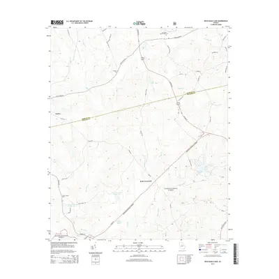
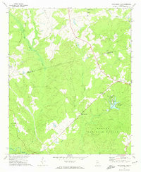 1972 Rock Eagle Lake1974 Print · USGSPutnam and Morgan counties in the early seventies reveal a mix of public forest and deep-rooted rural communities. Researchers can trace land tracts near Reids Crossroads, locate the Rock Eagle Monument, and find rural churches like Springfield Ch.
 - 1981 Map of Milledgeville
 1981 Milledgeville1981 Print · USGSMiddle Georgia in the early eighties shows a landscape shaped by major reservoirs and deep forests. Genealogists and historians can trace the rail networks of the Southern and Central of Georgia through towns like Monticello and Eatonton.2 unique versions available
 - 1988 Map of Athens
 1988 Athens1988 Print · USGSThe Georgia Piedmont and South Carolina borderlands appear in the late eighties as a landscape of vast reservoirs and growing towns. Researchers can trace the legacy of the Georgia RR connecting Athens and Augusta, or locate landmarks within Oconee National Forest.
 - 2011 Map of Rock Eagle Lake, 2011 Print
 2011 Rock Eagle Lake2011 Print · USGSCovers Godfrey, including Reids Crossroads, Putnam County, and other nearby areas
 - 2011 Map of Shady Dale, 2011 Print
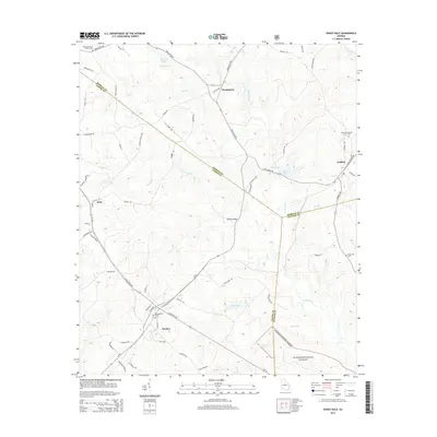
 2011 Shady Dale2011 Print · USGSCovers Godfrey, including Shady Dale, Machen, and other nearby areas
 - 2014 Map of Rock Eagle Lake, 2014 Print
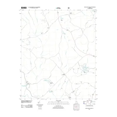
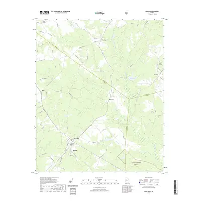
 2014 Rock Eagle Lake2014 Print · USGSCovers Godfrey, including Reids Crossroads, Putnam County, and other nearby areas
 - 2014 Map of Shady Dale, 2014 Print
 2014 Shady Dale2014 Print · USGSCovers Godfrey, including Shady Dale, Machen, and other nearby areas
 - 2017 Map of Rock Eagle Lake, 2017 Print
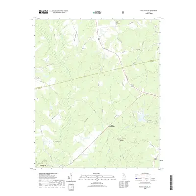
 2017 Rock Eagle Lake2017 Print · USGSCovers Godfrey, including Reids Crossroads, Putnam County, and other nearby areas
 - 2017 Map of Shady Dale, 2017 Print
 2017 Shady Dale2017 Print · USGSCovers Godfrey, including Shady Dale, Machen, and other nearby areas
 - 2020 Map of Shady Dale, 2020 Print
 2020 Shady Dale2020 Print · USGSCovers Godfrey, including Shady Dale, Machen, and other nearby areas
 - 2020 Map of Rock Eagle Lake, 2020 Print
 2020 Rock Eagle Lake2020 Print · USGSCovers Godfrey, including Reids Crossroads, Putnam County, and other nearby areas
 - 2024 Map of Rock Eagle Lake, 2024 Print
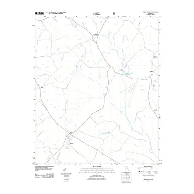
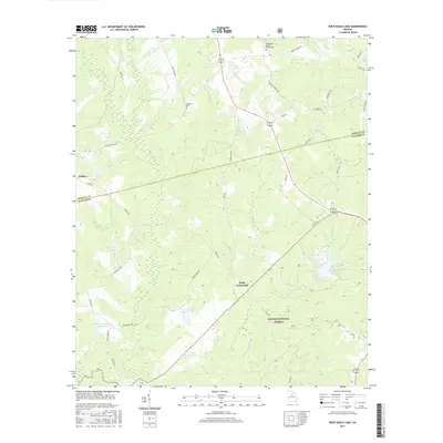
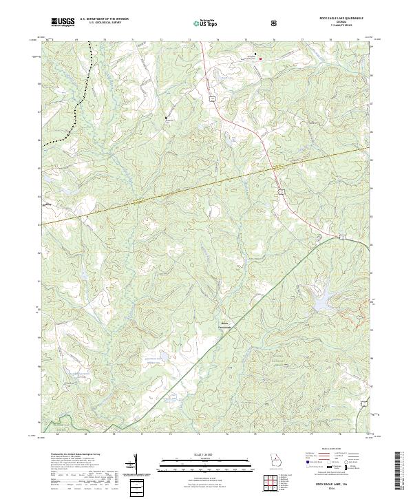 2024 Rock Eagle Lake2024 Print · USGSThe Morgan and Putnam county line divides this rural Georgia landscape during the 2020s. Genealogists and local historians can trace family roots through the Springfield Baptist Church Cem or explore the settlements at Godfrey and Reids Crossroads.
 - 2024 Map of Shady Dale, 2024 Print
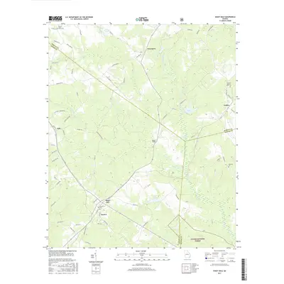
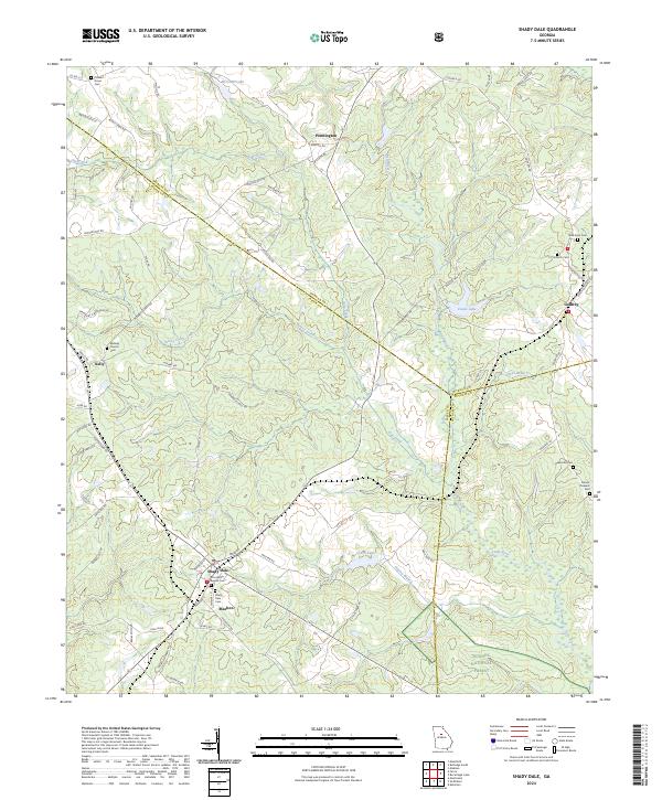 2024 Shady Dale2024 Print · USGSJasper County and its neighbors Morgan and Putnam meet in this rural Georgia landscape during the early twenty-first century. Researchers can trace ancestral sites like Hearnville Cem and Midway Church Cem alongside the crossroads of Shady Dale and Machen.
End of results
Showing maps 1-18 of 18
Top cities near Godfrey
- Eatonton historical maps
- Social Circle historical maps
- Madison historical maps
- Monticello historical maps
- Rutledge historical maps
- Newborn historical maps
See more
Frequently asked questions
- What are the different types of historical maps available for Godfrey?
- What is the oldest map of Godfrey?
- Where can I purchase historical maps of Godfrey for my home or office?
- Where can I download high-res historical maps of Godfrey?
- Are there historical topographic maps available for Godfrey?
- Is there historical aerial imagery available for Godfrey?
- Where are historical maps of Godfrey sourced from?