Old Maps of Oxford, Georgia
Explore 33 old maps of Oxford, spanning from 1896 to today. These high-resolution historic maps reveal how streets, neighborhoods, landmarks, and natural features evolved over time — perfect for genealogy, metal detecting, research, and local history exploration.
What you can do with these maps:
- See how Oxford changed over time: Compare historical maps to modern-day views to trace roads, homesites, rail lines & more.
- View detailed metadata: Each map includes creators, publishers, year, scale, and archive source.
- Overlay maps with satellite & LiDAR: Visualize the past alongside modern tools to explore terrain & human change.
- Trusted historical sources: Maps sourced from the USGS, Library of Congress, and other archives.
- Access maps your way: View online, download high-res files, or order prints for personal or research use.
Start exploring old maps of Oxford to uncover forgotten places, hidden landmarks, and the deep history beneath your feet.
Oxford, GA maps
(33)- 1896 Map of Monroe
 1896 Monroe1896 Print · USGSNorth-central Georgia thrives during the late nineteenth century as a hub of river-powered industry and rail expansion. Genealogists and historians can trace family locations near Salem Camp Ground, the local commerce at Carithers Store, and several early crossings like Bells Bridge.5 unique versions available
 - 1953 Map of Athens, 1966 Print
 1953 Athens1966 Print · USGSGeorgia's Piedmont and Savannah River borderlands come alive in this mid-century survey of the region surrounding Athens and Augusta. Trace the rail-and-river economy through the Georgia RR and landmarks like the Fort Gordon Military Reservation.3 unique versions available
 - 1958 Map of Athens
 1958 Athens1958 Print · USGSNorth-central Georgia and the Savannah River valley are captured in the late fifties, showing the region as the new reservoirs were filling. Researchers can trace historic rail lines like the Georgia RR and locate rural landmarks such as Social Circle, Graves Mountain, and the Fort Gordon Military Reservation.
 - 1959 Map of Athens
 1959 Athens1959 Print · USGSNortheast Georgia and the South Carolina borderlands appear here in the mid-fifties, during a decade of infrastructure growth. Genealogists and historians can trace the rail-and-river geography of towns like Social Circle, the sprawl of Fort Gordon Military Reservation, and the newly formed Clark Hill Reservoir.
 - 1963 Map of Athens
 1963 Athens1963 Print · USGSGeorgia's Piedmont and the Savannah River valley are captured in the early sixties as major reservoirs and military installations reshaped the landscape. Researchers can trace the development of Clark Hill Reservoir, locate the Fort Gordon Military Reservation, and find historic towns like Social Circle and Eatonton.
 - 1964 Map of Porterdale, 1966 Print
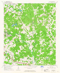
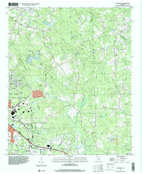
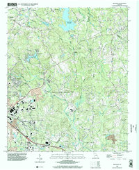
 1964 Porterdale1966 Print · USGSNewton County's river-driven industry and rural crossroads are captured here in the mid-1960s as the suburbs of Atlanta began to reach eastward. Researchers can trace family roots at Salem Campground, Richards Chapel, and the now-familiar streets of Porterdale.4 unique versions available
 - 1964 Map of Covington, 1966 Print
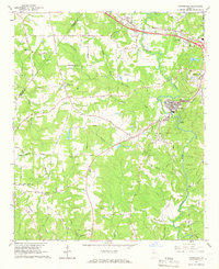
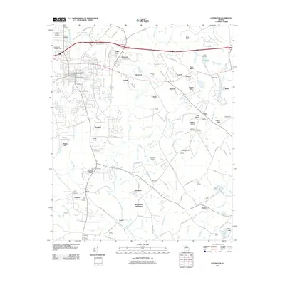
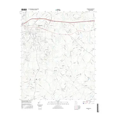
 1964 Covington1966 Print · USGSCovington and the surrounding Newton County countryside are shown here in the mid-sixties as the area evolved from its agricultural roots. Genealogists and local historians can locate early institutions like Emory Jr College, Starrsville Ch, and the Rakestraw Cems.3 unique versions available
 - 1964 Map of Milstead, 1966 Print
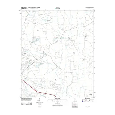
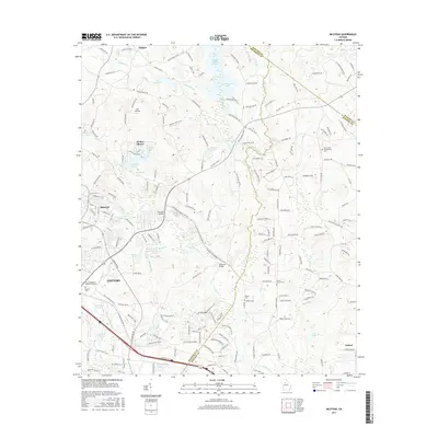
 1964 Milstead1966 Print · USGSThe Yellow River valley of northern Georgia is shown in the mid-1960s, a period when rural church communities and historic mill sites still defined the landscape. Genealogists and historians can trace family locations near Milstead, Philadelphia Ch, and Costley Millpond.4 unique versions available
 - 1964 Map of Jersey, 1966 Print
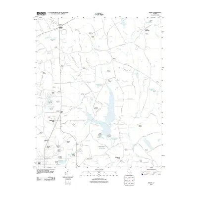
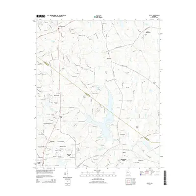
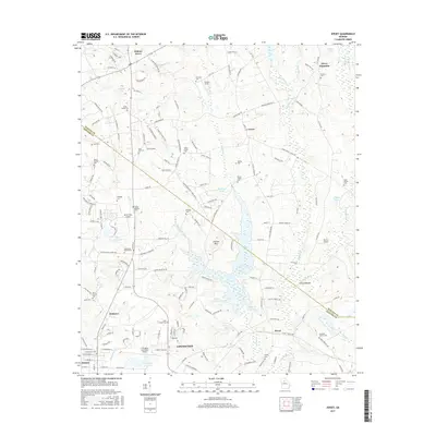
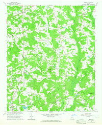 1964 Jersey1966 Print · USGSWalton and Newton counties are captured in the mid-1960s as rural crossroads and family homesteads defined the landscape. Genealogists can trace family landmarks like Carter Cem and Brodnax Cem alongside local centers like Jersey and Walnut Grove.3 unique versions available
 - 1980 Map of Athens, 1981 Print
 1980 Athens1981 Print · USGSNorth Georgia in the early eighties exhibits a landscape of growing university towns and deep-rooted rail hubs. Genealogists can trace family lands near Social Circle or Watkinsville while following the routes of the Central of Georgia and the Appalachee River.2 unique versions available
 - 1988 Map of Athens
 1988 Athens1988 Print · USGSThe Georgia Piedmont and South Carolina borderlands appear in the late eighties as a landscape of vast reservoirs and growing towns. Researchers can trace the legacy of the Georgia RR connecting Athens and Augusta, or locate landmarks within Oconee National Forest.
 - 1993 Map of Milstead, 2000 Print
 1993 Milstead2000 Print · USGSRockdale and Newton counties are captured here in the early nineties, showing a landscape of river valleys and rural crossroads. Genealogists and historians can trace old community sites like Zingara and Almon, or locate family landmarks such as Philadelphia Ch and Deals Millpond.
 - 1999 Map of Milstead, 2002 Print
 1999 Milstead2002 Print · USGSThe Yellow River valley transitions from its industrial roots to modern development in the late nineties. Researchers can trace historic church sites like Philadelphia Church and early family markers at Almand Cemetery near Conyers.
 - 2011 Map of Jersey, 2011 Print
 2011 Jersey2011 Print · USGSCovers Oxford, including Covington, Social Circle, and other nearby areas
 - 2011 Map of Porterdale, 2011 Print
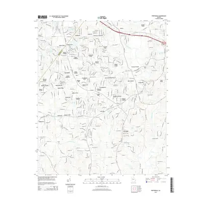
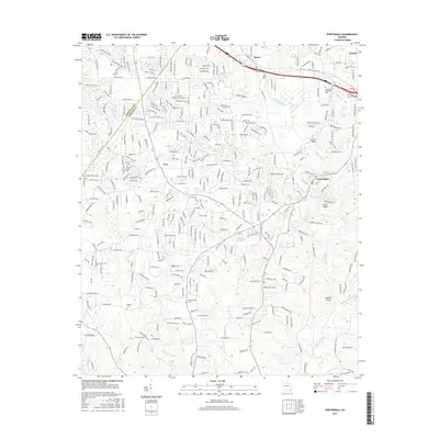
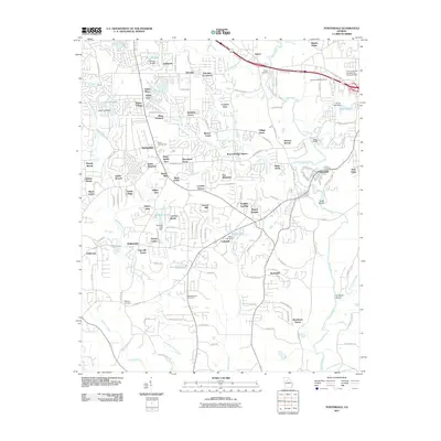 2011 Porterdale2011 Print · USGSCovers Oxford, including Covington, Porterdale, and other nearby areas
 - 2011 Map of Milstead, 2011 Print
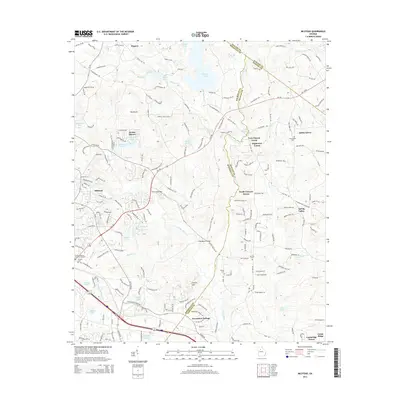
 2011 Milstead2011 Print · USGSCovers Oxford, including Conyers, Spring Valley, and other nearby areas
 - 2011 Map of Covington, 2011 Print
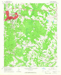
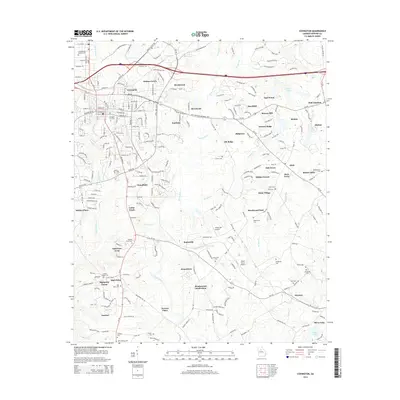
 2011 Covington2011 Print · USGSCovers Oxford, including Covington, Pine Valley Mobile Home Park, and other nearby areas
 - 2014 Map of Milstead, 2014 Print
 2014 Milstead2014 Print · USGSCovers Oxford, including Conyers, Spring Valley, and other nearby areas
 - 2014 Map of Covington, 2014 Print
 2014 Covington2014 Print · USGSCovers Oxford, including Covington, Pine Valley Mobile Home Park, and other nearby areas
 - 2014 Map of Jersey, 2014 Print
 2014 Jersey2014 Print · USGSCovers Oxford, including Covington, Social Circle, and other nearby areas
 - 2014 Map of Porterdale, 2014 Print
 2014 Porterdale2014 Print · USGSCovers Oxford, including Covington, Porterdale, and other nearby areas
 - 2017 Map of Porterdale, 2017 Print
 2017 Porterdale2017 Print · USGSCovers Oxford, including Covington, Porterdale, and other nearby areas
 - 2017 Map of Jersey, 2017 Print
 2017 Jersey2017 Print · USGSCovers Oxford, including Covington, Social Circle, and other nearby areas
 - 2017 Map of Milstead, 2017 Print
 2017 Milstead2017 Print · USGSCovers Oxford, including Conyers, Spring Valley, and other nearby areas
 - 2017 Map of Covington, 2017 Print
 2017 Covington2017 Print · USGSCovers Oxford, including Covington, Pine Valley Mobile Home Park, and other nearby areas
Showing maps 1-25 of 33
Top cities near Oxford
- Stonecrest historical maps
- Snellville historical maps
- Conyers historical maps
- Covington historical maps
- Monroe historical maps
- Loganville historical maps
See more
Top neighborhoods of Oxford
Frequently asked questions
- What are the different types of historical maps available for Oxford?
- What is the oldest map of Oxford?
- Where can I purchase historical maps of Oxford for my home or office?
- Where can I download high-res historical maps of Oxford?
- Are there historical topographic maps available for Oxford?
- Is there historical aerial imagery available for Oxford?
- Where are historical maps of Oxford sourced from?