2020s Maps of Pike County, Georgia
Explore 22 historic maps of Pike County from the 2020s. These maps offer a rare glimpse into what life looked like during the 2020s — showing old roads, neighborhoods, homes, and landmarks that have changed or disappeared over time.
Whether you're researching your family's past, planning a metal detecting trip, or studying how Pike County's landscape evolved across the 2020s, these high-resolution maps are a powerful tool for exploring the history of this region.
- Focus on a specific era: All maps on this page are from the 2020s, giving you a focused view of this time period.
- See what’s changed: Compare century-old streets, trails, and buildings to today's modern landscape using overlays and satellite layers.
- Research with precision: Use these maps for genealogy, historical research, land use analysis, or educational projects.
- View, download, or print: Maps are fully viewable online in high resolution, and can be downloaded or printed for your own records.
Start exploring Pike County's history through authentic maps from the 2020s. This is your window into the past.
Pike County, GA maps
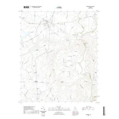
(22)- 2020 Map of Gay, 2020 Print
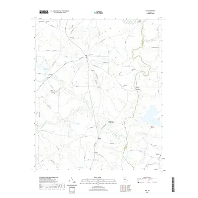 2020 Gay2020 Print · USGSCovers Pike County, including Molena, Gay, and other nearby areas
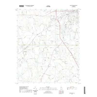
 - 2020 Map of Barnesville, 2020 Print
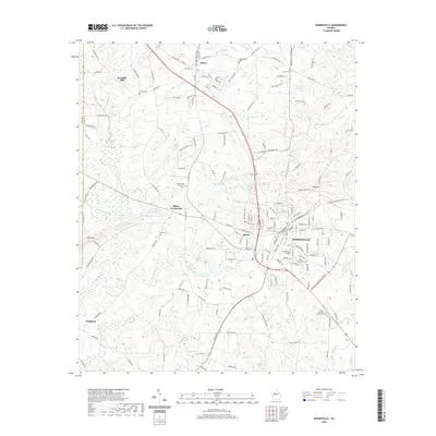 2020 Barnesville2020 Print · USGSCovers Pike County, including Barnesville, Milner, and other nearby areas
 - 2020 Map of Zebulon, 2020 Print
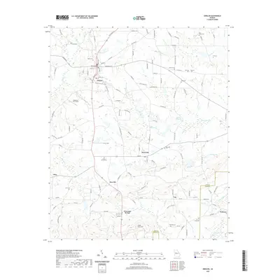 2020 Zebulon2020 Print · USGSCovers Pike County, including Zebulon, Meansville, and other nearby areas
 - 2020 Map of Hollonville, 2020 Print
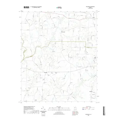 2020 Hollonville2020 Print · USGSCovers Pike County, including Hollonville, Reidsboro, and other nearby areas
 - 2020 Map of Concord, 2020 Print
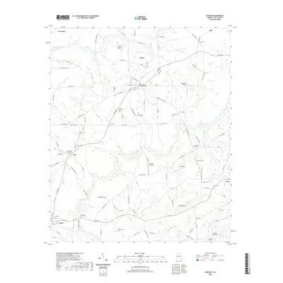 2020 Concord2020 Print · USGSCovers Pike County, including Hilltop, Molena, and other nearby areas
 - 2020 Map of Haralson, 2020 Print
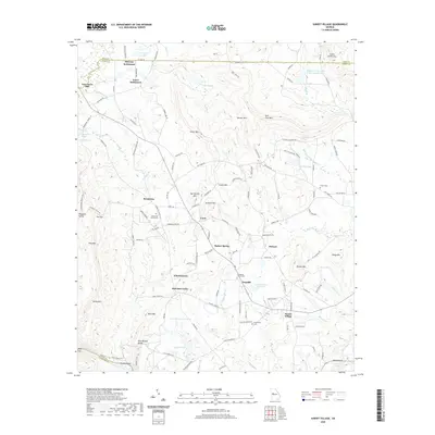
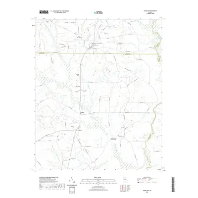 2020 Haralson2020 Print · USGSCovers Pike County, including Haralson, Alps, and other nearby areas
 - 2020 Map of Griffin South, 2020 Print
 2020 Griffin South2020 Print · USGSCovers Pike County, including Griffin, Williamson, and other nearby areas
 - 2020 Map of Orchard Hill, 2020 Print
 2020 Orchard Hill2020 Print · USGSCovers Pike County, including Griffin, East Griffin, and other nearby areas
 - 2020 Map of Thomaston, 2020 Print
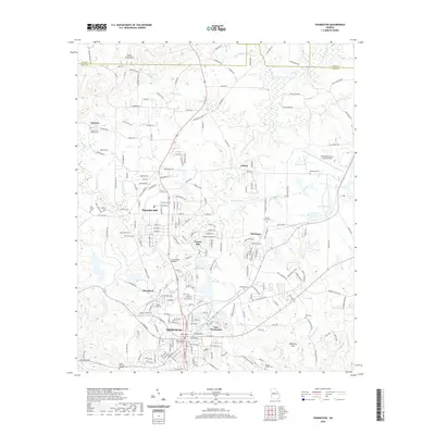 2020 Thomaston2020 Print · USGSCovers Pike County, including Thomaston, Hannahs Mill, and other nearby areas
 - 2020 Map of Sunset Village, 2020 Print
 2020 Sunset Village2020 Print · USGSCovers Pike County, including Sunset Village, Jones Settlement, and other nearby areas
 - 2020 Map of Woodbury, 2020 Print
 2020 Woodbury2020 Print · USGSCovers Pike County, including Woodbury, Upson County, and other nearby areas
 - 2024 Map of Sunset Village, 2024 Print
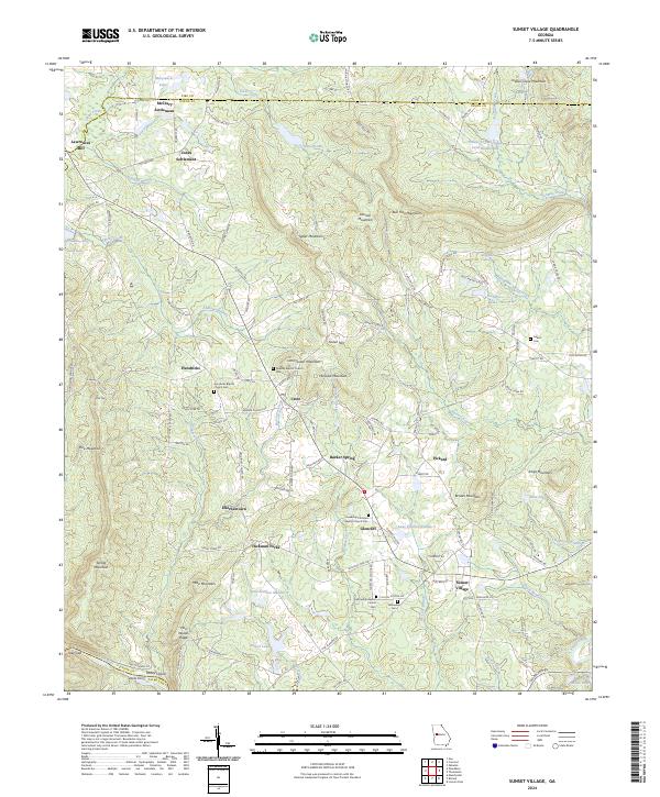 2024 Sunset Village2024 Print · USGSThe rural uplands of Upson and Pike counties are documented here in the early twenty-first century, showing a landscape of scattered family settlements and mountain ridges. Researchers can locate ancestral sites at McCrary Settlement, trace old routes to Jacks Ferry, or find family names at Gilbert Cem.
 - 2024 Map of Orchard Hill, 2024 Print
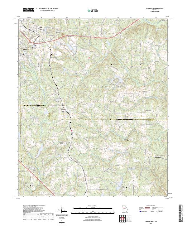 2024 Orchard Hill2024 Print · USGSSpalding and Lamar Counties come into focus in this recent study of the rural Georgia landscape between Griffin and Milner. Genealogists can trace family footprints across numerous sites like New Crawley Cem and Ogletree Cem along the Central of Georgia line.
 - 2024 Map of Gay, 2024 Print
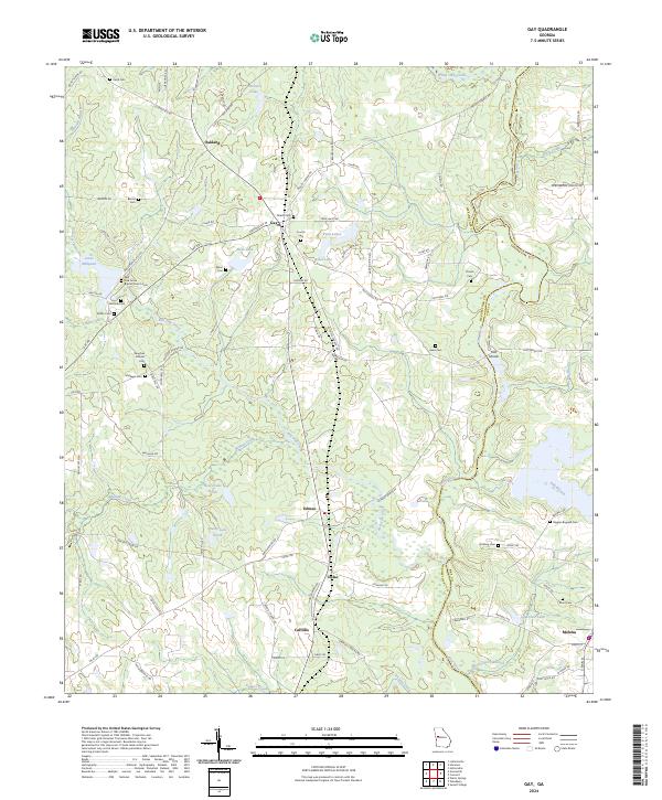 2024 Gay2024 Print · USGSThe Meriwether and Pike County border comes alive in this contemporary survey of West Georgia's rural landscape. Researchers can trace family history through a remarkable concentration of family burial sites, including the Baughan Strozier Cem, Thrash Cem, and the historic Red Oak Grove Baptist Church Cem.
 - 2024 Map of Concord, 2024 Print
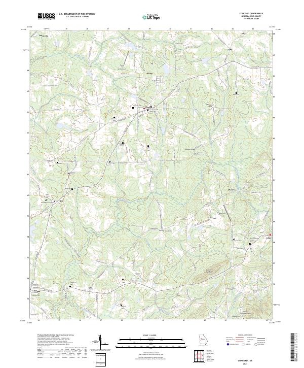 2024 Concord2024 Print · USGSThis rural portion of Pike County is captured in the contemporary era, showing a landscape defined by traditional crossroads and small-town rail connections. Genealogists can trace family names through dozens of sites like Old Hebron Cem, Beulah Baptist Church Cem, and Beckham Cem.
 - 2024 Map of Zebulon, 2024 Print
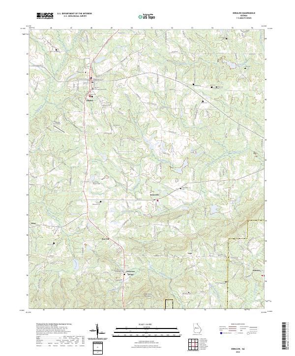 2024 Zebulon2024 Print · USGSPike County in the modern era maintains its rural Georgia character through a network of family-named roads and historic community centers. Genealogists can trace local roots at Fincher Memorial Cem, Mudbridge Cem, and the Zebulon Methodist Church.
 - 2024 Map of Thomaston, 2024 Print
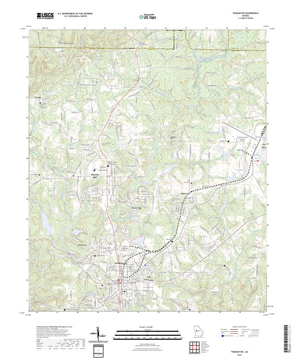 2024 Thomaston2024 Print · USGSThomaston and the surrounding Upson County countryside are captured here in the early twenty-first century. Genealogists can locate family landmarks like Valley Grove Baptist Church Cem, Hannahs Mill, and the Upson County Courthouse.
 - 2024 Map of Woodbury, 2024 Print
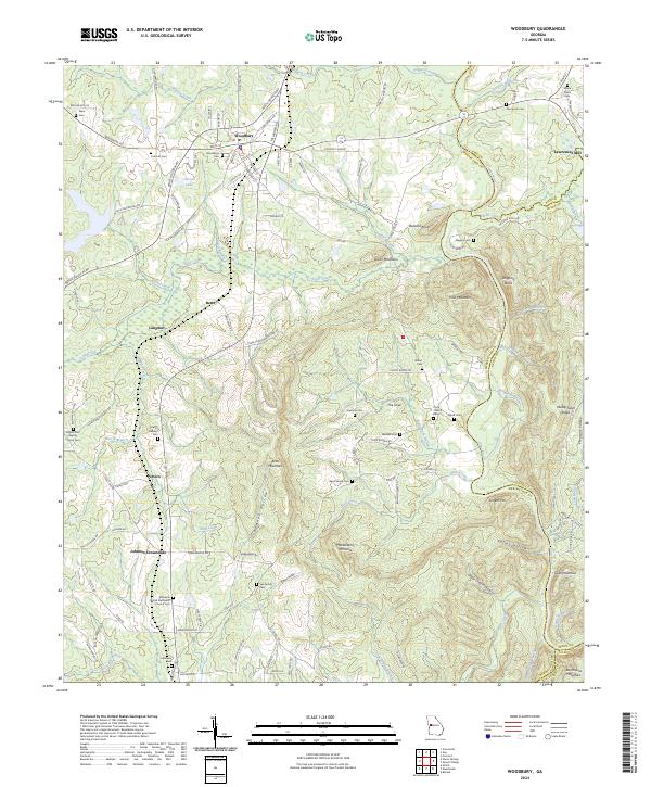 2024 Woodbury2024 Print · USGSMeriwether County settlement patterns are clearly defined in this modern survey of the Woodbury area. Researchers can trace family history through numerous burial sites like See Family Cem or explore the rural landscape around Lawrences Mill and The Cove.
 - 2024 Map of Griffin South, 2024 Print
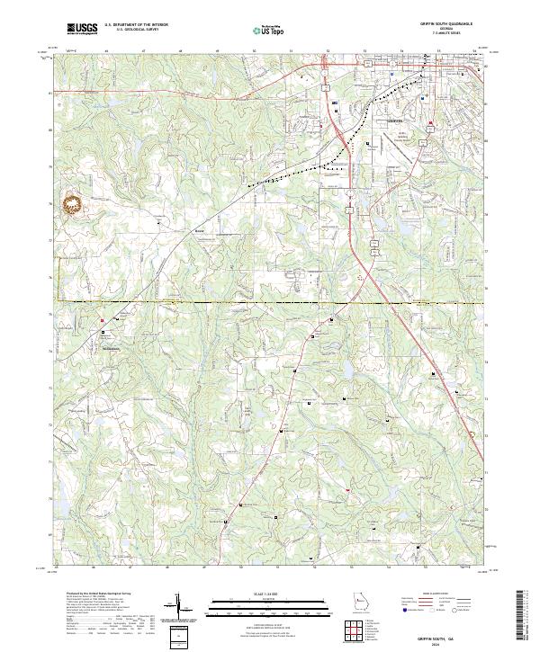 2024 Griffin South2024 Print · USGSSpalding and Pike County come into focus in the mid-2020s, showing the intersection of local aviation and rural settlement patterns. Researchers can trace family history through a high density of burial sites including Stonewall Confederate Cem, Antioch Cem, and Flat Rock Cem.
 - 2024 Map of Hollonville, 2024 Print
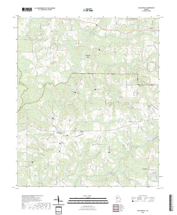 2024 Hollonville2024 Print · USGSPike County's rural character remains centered on small community hubs and family landholdings in the 2020s. Genealogists and local historians can trace legacy sites like Blantons Mill, Hollonville, and the Bethany Christian Church Cem.
 - 2024 Map of Barnesville, 2024 Print
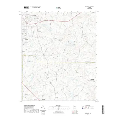
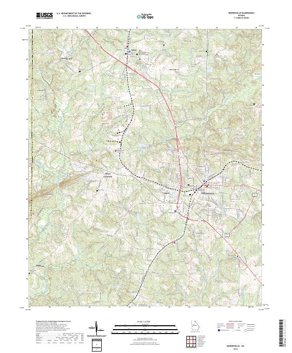 2024 Barnesville2024 Print · USGSThe Lamar County area in the early twenty-first century reveals a landscape of collegiate life and deep-seated local history. Researchers can trace family ties at the Confederate Cem or explore the sites of Woodfin Mill and Milner Crossroads.
 - 2024 Map of Haralson, 2024 Print
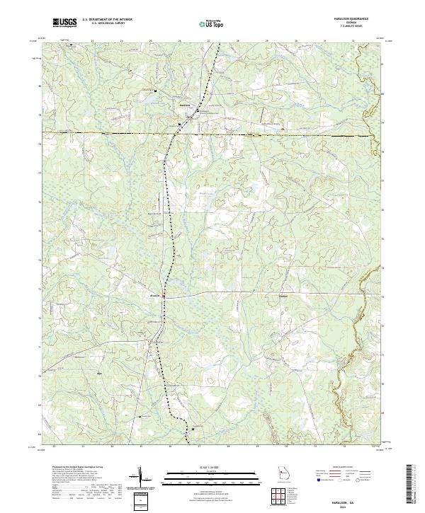 2024 Haralson2024 Print · USGSGeorgia's Piedmont region near the Coweta and Meriwether county line is captured here in the early twenty-first century. Genealogists can trace family names through several rural burying grounds including Mount Pilgrim Cem, Owens Cem, and Connally Cem.
End of results
Showing maps 1-22 of 22
Top cities of Pike County
- Zebulon historical maps
- Williamson historical maps
- Molena historical maps
- Hilltop historical maps
- Concord historical maps
- Meansville historical maps
Frequently asked questions
- What are the different types of historical maps available for Pike County?
- What is the oldest map of Pike County?
- Where can I purchase historical maps of Pike County for my home or office?
- Where can I download high-res historical maps of Pike County?
- Are there historical topographic maps available for Pike County?
- Is there historical aerial imagery available for Pike County?
- Where are historical maps of Pike County sourced from?