Old Maps of Putnam County, Georgia
Explore 72 old maps of Putnam County, spanning from 1953 to today. These high-resolution historic maps reveal how streets, neighborhoods, landmarks, and natural features evolved over time — perfect for genealogy, metal detecting, research, and local history exploration.
What you can do with these maps:
- See how Putnam County changed over time: Compare historical maps to modern-day views to trace roads, homesites, rail lines & more.
- View detailed metadata: Each map includes creators, publishers, year, scale, and archive source.
- Overlay maps with satellite & LiDAR: Visualize the past alongside modern tools to explore terrain & human change.
- Trusted historical sources: Maps sourced from the USGS, Library of Congress, and other archives.
- Access maps your way: View online, download high-res files, or order prints for personal or research use.
Start exploring old maps of Putnam County to uncover forgotten places, hidden landmarks, and the deep history beneath your feet.
Putnam County, GA maps
(72)- 1953 Map of Athens, 1966 Print
 1953 Athens1966 Print · USGSGeorgia's Piedmont and Savannah River borderlands come alive in this mid-century survey of the region surrounding Athens and Augusta. Trace the rail-and-river economy through the Georgia RR and landmarks like the Fort Gordon Military Reservation.3 unique versions available
 - 1958 Map of Athens
 1958 Athens1958 Print · USGSNorth-central Georgia and the Savannah River valley are captured in the late fifties, showing the region as the new reservoirs were filling. Researchers can trace historic rail lines like the Georgia RR and locate rural landmarks such as Social Circle, Graves Mountain, and the Fort Gordon Military Reservation.
 - 1959 Map of Athens
 1959 Athens1959 Print · USGSNortheast Georgia and the South Carolina borderlands appear here in the mid-fifties, during a decade of infrastructure growth. Genealogists and historians can trace the rail-and-river geography of towns like Social Circle, the sprawl of Fort Gordon Military Reservation, and the newly formed Clark Hill Reservoir.
 - 1963 Map of Athens
 1963 Athens1963 Print · USGSGeorgia's Piedmont and the Savannah River valley are captured in the early sixties as major reservoirs and military installations reshaped the landscape. Researchers can trace the development of Clark Hill Reservoir, locate the Fort Gordon Military Reservation, and find historic towns like Social Circle and Eatonton.
 - 1964 Map of Stanfordville, 1965 Print
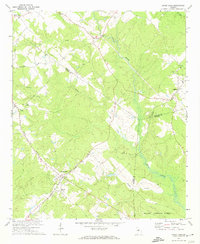
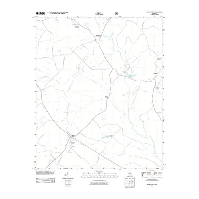
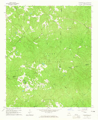 1964 Stanfordville1965 Print · USGSJasper and Putnam counties are seen here in the mid-1960s, a time when the forestry and recreation of the Piedmont defined local life. Genealogists and historians can trace community roots through Mt Carmel Ch, Goolsby, and the Union Hill Ch Cem.3 unique versions available
 - 1972 Map of Liberty, 1974 Print
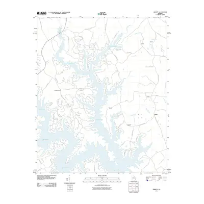
 1972 Liberty1974 Print · USGSGreene County is depicted in the early seventies as a landscape of deep river bends and rural church communities. Genealogists and historians can trace the paths of Richland Creek and locate family landmarks such as Liberty Chapel, Flat Rock Ch, and Lawrence Center.2 unique versions available
 - 1972 Map of Meda, 1974 Print
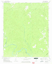
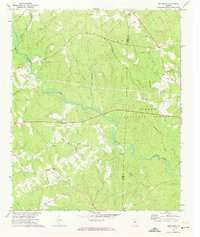
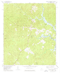
 1972 Meda1974 Print · USGSPutnam County in the early seventies was a landscape of small settlements and rural congregations connected by the Central of Georgia railroad. Genealogists can locate family landmarks such as Philadelphia Ch, Wesley Chapel, and the Lookout Tower near Meda.
 - 1972 Map of Eatonton, 1974 Print
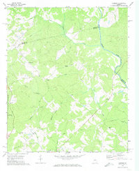
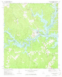
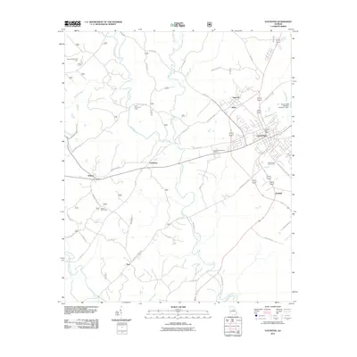
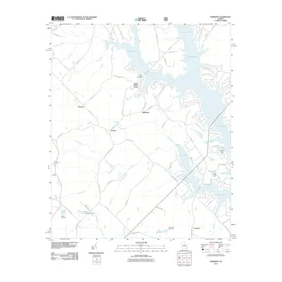
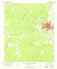 1972 Eatonton1974 Print · USGSEatonton and the surrounding Putnam County countryside are captured here in the early 1970s, as the railroad still influenced the local economy. Genealogists can locate family landmarks like Hunts Chapel Cem, Mount Gilead Ch, and the small settlement of Imperial.2 unique versions available
 - 1972 Map of Shady Dale, 1974 Print
 1972 Shady Dale1974 Print · USGSJasper and Morgan County crossroads are preserved here during the early seventies, centered on the rail-based growth of Shady Dale and Machen. Researchers can trace old family sites and local landmarks like Pleasant Grove Ch and the Central of Georgia rail line.2 unique versions available
 - 1972 Map of Smithboro, 1974 Print
 1972 Smithboro1974 Print · USGSThe rural landscape of Jasper and Putnam Counties in the 1970s is defined by the dense woods of the Oconee National Forest. Researchers can trace old transportation routes and local landmarks including Reids Chapel, the Central of Georgia rail line, and the namesake settlement of Smithboro.2 unique versions available
 - 1972 Map of Harmony, 1974 Print
 1972 Harmony1974 Print · USGSThe Putnam County Piedmont is captured here in the early seventies, as the Oconee National Forest and Oconee River frame rural life. Genealogists can trace family roots at Lone Oak Ch, Ward Chapel, and several scattered cemeteries.3 unique versions available
 - 1972 Map of Rock Eagle Lake, 1974 Print
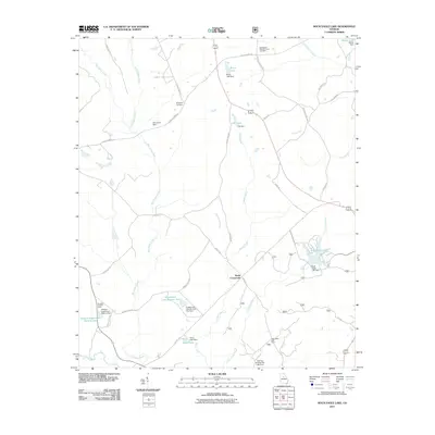
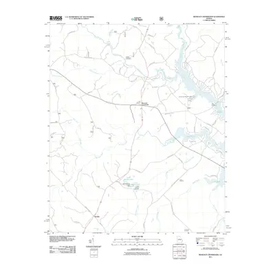
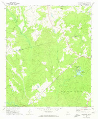 1972 Rock Eagle Lake1974 Print · USGSPutnam and Morgan counties in the early seventies reveal a mix of public forest and deep-rooted rural communities. Researchers can trace land tracts near Reids Crossroads, locate the Rock Eagle Monument, and find rural churches like Springfield Ch.
 - 1972 Map of Lake Sinclair West, 1975 Print
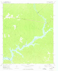
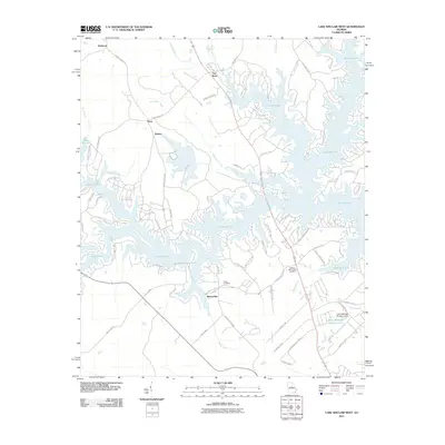
 1972 Lake Sinclair West1975 Print · USGSThe confluence of the Oconee and Little Rivers in the early seventies shows a landscape transformed by power generation and lakeside growth. Researchers can locate rural landmarks like Rooty Creek Ch, the Central of Georgia rail line, and the John Milledge Academy.
 - 1972 Map of Rockville, 1975 Print
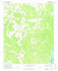
 1972 Rockville1975 Print · USGSPutnam County's rural character is on full display in the early seventies as the waters of Lake Sinclair reach into the wooded hills. Genealogists can trace family roots through several local landmarks like St Pauls Ch, Jenkins Grove Chapel, and the Rockville settlement.2 unique versions available
 - 1978 Map of Resseaus Crossroads
 1978 Resseaus Crossroads1978 Print · USGSPutnam and Jones counties appear here in the late seventies as the recreation-driven economy of the reservoir began to shape the landscape. Researchers can trace old family sites near Resseaus Crossroads, Pierce Chapel Ch, and the shores of Lake Sinclair.3 unique versions available
 - 1981 Map of Milledgeville
 1981 Milledgeville1981 Print · USGSMiddle Georgia in the early eighties shows a landscape shaped by major reservoirs and deep forests. Genealogists and historians can trace the rail networks of the Southern and Central of Georgia through towns like Monticello and Eatonton.2 unique versions available
 - 1988 Map of Athens
 1988 Athens1988 Print · USGSThe Georgia Piedmont and South Carolina borderlands appear in the late eighties as a landscape of vast reservoirs and growing towns. Researchers can trace the legacy of the Georgia RR connecting Athens and Augusta, or locate landmarks within Oconee National Forest.
 - 2011 Map of Stanfordville, 2011 Print
 2011 Stanfordville2011 Print · USGSCovers Putnam County, including Union Hill, Stanfordville, and other nearby areas
 - 2011 Map of Liberty, 2011 Print
 2011 Liberty2011 Print · USGSCovers Putnam County, including Liberty, Lake Oconee, and other nearby areas
 - 2011 Map of Eatonton, 2011 Print
 2011 Eatonton2011 Print · USGSCovers Putnam County, including Eatonton, Linchburg, and other nearby areas
 - 2011 Map of Rock Eagle Lake, 2011 Print
 2011 Rock Eagle Lake2011 Print · USGSCovers Putnam County, including Reids Crossroads, Godfrey, and other nearby areas
 - 2011 Map of Lake Sinclair West, 2011 Print
 2011 Lake Sinclair West2011 Print · USGSCovers Putnam County, including Milledgeville, Flat Rock, and other nearby areas
 - 2011 Map of Harmony, 2011 Print
 2011 Harmony2011 Print · USGSCovers Putnam County, including Harmony, Turnwold, and other nearby areas
 - 2011 Map of Resseaus Crossroads, 2011 Print
 2011 Resseaus Crossroads2011 Print · USGSCovers Putnam County, including Ethridge, Resseaus Crossroads, and other nearby areas
 - 2011 Map of Shady Dale, 2011 Print
 2011 Shady Dale2011 Print · USGSCovers Putnam County, including Shady Dale, Machen, and other nearby areas
Showing maps 1-25 of 72
Top cities of Putnam County
Frequently asked questions
- What are the different types of historical maps available for Putnam County?
- What is the oldest map of Putnam County?
- Where can I purchase historical maps of Putnam County for my home or office?
- Where can I download high-res historical maps of Putnam County?
- Are there historical topographic maps available for Putnam County?
- Is there historical aerial imagery available for Putnam County?
- Where are historical maps of Putnam County sourced from?