Old Maps of Geneva, Georgia
Explore 14 old maps of Geneva, spanning from 1907 to today. These high-resolution historic maps reveal how streets, neighborhoods, landmarks, and natural features evolved over time — perfect for genealogy, metal detecting, research, and local history exploration.
What you can do with these maps:
- See how Geneva changed over time: Compare historical maps to modern-day views to trace roads, homesites, rail lines & more.
- View detailed metadata: Each map includes creators, publishers, year, scale, and archive source.
- Overlay maps with satellite & LiDAR: Visualize the past alongside modern tools to explore terrain & human change.
- Trusted historical sources: Maps sourced from the USGS, Library of Congress, and other archives.
- Access maps your way: View online, download high-res files, or order prints for personal or research use.
Start exploring old maps of Geneva to uncover forgotten places, hidden landmarks, and the deep history beneath your feet.
Geneva, GA maps
(14)- 1907 Map of Talbotton
 1907 Talbotton1907 Print · USGSWest-central Georgia at the turn of the century is a landscape of ridges and rail-lines, dominated by the thermal waters of Warm Springs. Local historians can trace the foundations of Talbotton and rural life at Turntime Crossroads, Cataula Camp Ground, and Greens Mill.3 unique versions available
 - 1950 Map of Geneva, 1953 Print
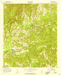 1950 Geneva1953 Print · USGSMid-century Talbot County is captured here at a time when rural life centered on the railroad and local congregations. Trace the routes through Geneva and Juniper Station to find local landmarks like Oak Grove Ch and Welcome Sch.
 - 1950 Map of Talbotton, 1955 Print
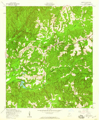
 1950 Talbotton1955 Print · USGSWestern Georgia at the start of the fifties reveals a landscape of rural railroad towns and numerous country churches. Genealogists can trace family connections at Waverly Hall Cem or locate old community centers like Box Springs, Geneva, and Matthews Chapel.
 - 1955 Map of Geneva, 1959 Print
 1955 Geneva1959 Print · USGSGeneva and the surrounding Georgia countryside are shown in the mid-1950s as the railroad and creek networks dictated local life. Genealogists can trace family roots through Oak Grove Ch, Welcome Ch, and the rural Juniper Sta rail stop.2 unique versions available
 - 1955 Map of Talbotton, 1961 Print
 1955 Talbotton1961 Print · USGSTalbot County and its neighboring parishes are captured here in the mid-fifties, showing the transition between traditional rail-town life and the expanding military presence to the south. Genealogists can trace family roots through numerous rural landmarks like Olive Branch Ch, the Geneva Sch, and Box Springs.2 unique versions available
 - 1955 Map of Phenix City, 1964 Print
 1955 Phenix City1964 Print · USGSPost-war Alabama and Georgia meet along the Chattahoochee River as industry and military installations expand. Trace the rail lines of the Central of Georgia through towns like Opelika, Tuskegee, and Alexander City.3 unique versions available
 - 1957 Map of Phenix City
 1957 Phenix City1957 Print · USGSThe Alabama-Georgia borderlands are captured here in the mid-fifties, centered on the bustling river crossing at Phenix City and Columbus. Researchers can trace the mid-century footprint of the Fort Benning Military Reservation or locate smaller textile and railroad towns like Langdale and Camp Hill.
 - 1958 Map of Phenix City
 1958 Phenix City1958 Print · USGSThe Alabama-Georgia borderlands thrive during the late fifties, anchored by the river-driven industry of Columbus and Phenix City. Researchers can trace the mid-century footprints of Fort Benning, Auburn, and the textile towns of Fairfax and Lanett.
 - 1981 Map of Thomaston, 1982 Print
 1981 Thomaston1982 Print · USGSCentral Georgia’s ridgeline and river country comes into focus in this early 1980s survey of the Pine Mountain corridor. Researchers can trace historic church sites like Oak Grove Ch, the rail junctions at Manchester, and the expansive Franklin D Roosevelt State Park.
 - 2011 Map of Geneva, 2011 Print
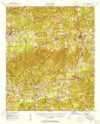
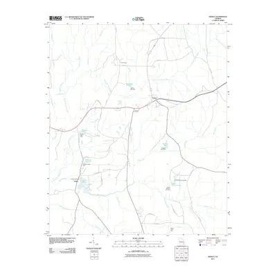 2011 Geneva2011 Print · USGSCovers Geneva, including Juniper, Marion County, and other nearby areas
 - 2014 Map of Geneva, 2014 Print
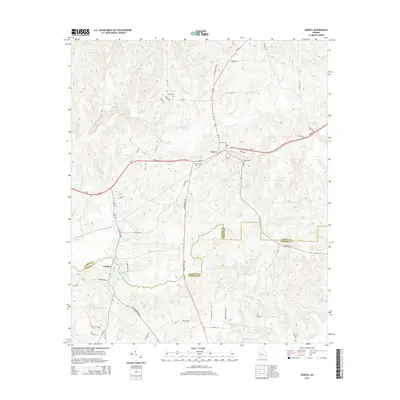 2014 Geneva2014 Print · USGSCovers Geneva, including Juniper, Marion County, and other nearby areas
 - 2017 Map of Geneva, 2017 Print
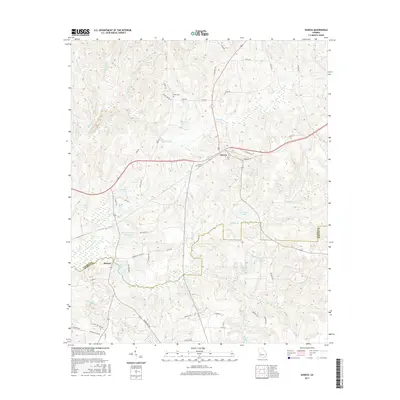 2017 Geneva2017 Print · USGSCovers Geneva, including Juniper, Marion County, and other nearby areas
 - 2020 Map of Geneva, 2020 Print
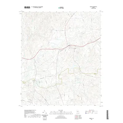 2020 Geneva2020 Print · USGSCovers Geneva, including Juniper, Marion County, and other nearby areas
 - 2024 Map of Geneva, 2024 Print
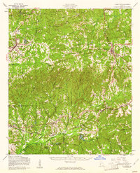
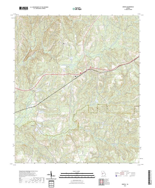 2024 Geneva2024 Print · USGSThe borderlands of Talbot and Marion counties appear in this recent survey, showcasing a landscape defined by the drainage of Upatoi Creek. Researchers can trace local heritage through the sites of Geneva Cem and Cobb Cem or the smaller settlement of Juniper.
End of results
Showing maps 1-14 of 14
Top cities near Geneva
- Columbus historical maps
- Talbotton historical maps
- Waverly Hall historical maps
- Shiloh historical maps
- Woodland historical maps
- Junction City historical maps
Frequently asked questions
- What are the different types of historical maps available for Geneva?
- What is the oldest map of Geneva?
- Where can I purchase historical maps of Geneva for my home or office?
- Where can I download high-res historical maps of Geneva?
- Are there historical topographic maps available for Geneva?
- Is there historical aerial imagery available for Geneva?
- Where are historical maps of Geneva sourced from?