2020s Maps of Terrell County, Georgia
Explore 24 historic maps of Terrell County from the 2020s. These maps offer a rare glimpse into what life looked like during the 2020s — showing old roads, neighborhoods, homes, and landmarks that have changed or disappeared over time.
Whether you're researching your family's past, planning a metal detecting trip, or studying how Terrell County's landscape evolved across the 2020s, these high-resolution maps are a powerful tool for exploring the history of this region.
- Focus on a specific era: All maps on this page are from the 2020s, giving you a focused view of this time period.
- See what’s changed: Compare century-old streets, trails, and buildings to today's modern landscape using overlays and satellite layers.
- Research with precision: Use these maps for genealogy, historical research, land use analysis, or educational projects.
- View, download, or print: Maps are fully viewable online in high resolution, and can be downloaded or printed for your own records.
Start exploring Terrell County's history through authentic maps from the 2020s. This is your window into the past.
Terrell County, GA maps
(24)- 2020 Map of Holt, 2020 Print
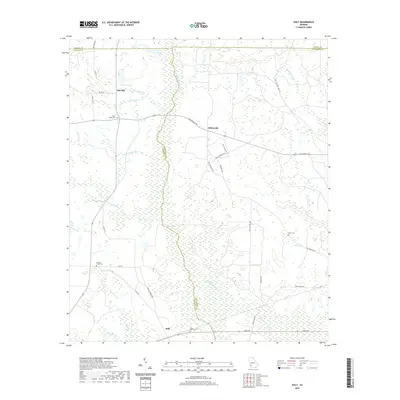 2020 Holt2020 Print · USGSCovers Terrell County, including Gillionville, Holt, and other nearby areas
 - 2020 Map of Sasser, 2020 Print
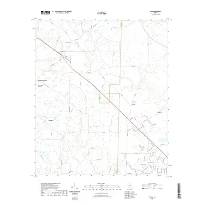 2020 Sasser2020 Print · USGSCovers Terrell County, including Sasser, Oakland, and other nearby areas
 - 2020 Map of Bottsford, 2020 Print
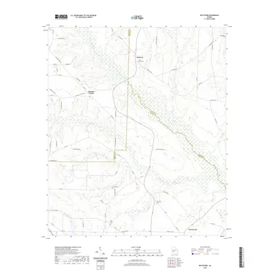 2020 Bottsford2020 Print · USGSCovers Terrell County, including Bottsford, Cottondale, and other nearby areas
 - 2020 Map of Shellman, 2020 Print
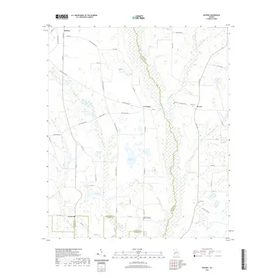
 2020 Shellman2020 Print · USGSCovers Terrell County, including Shellman, Graves, and other nearby areas
 - 2020 Map of Pretoria, 2020 Print
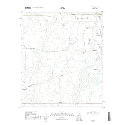 2020 Pretoria2020 Print · USGSCovers Terrell County, including Albany, Walker, and other nearby areas
 - 2020 Map of Smithville West, 2020 Print
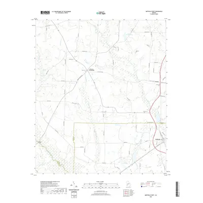 2020 Smithville West2020 Print · USGSCovers Terrell County, including Smithville, Sumter, and other nearby areas
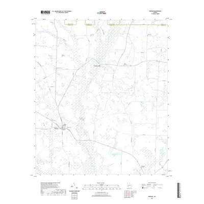
 - 2020 Map of Bronwood, 2020 Print
 2020 Bronwood2020 Print · USGSCovers Terrell County, including Bronwood, Bridges Crossroad, and other nearby areas
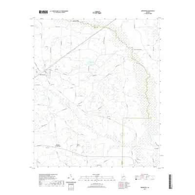
 - 2020 Map of Morgan, 2020 Print
 2020 Morgan2020 Print · USGSCovers Terrell County, including Morgan, Cordrays Mill, and other nearby areas
 - 2020 Map of Dawson, 2020 Print
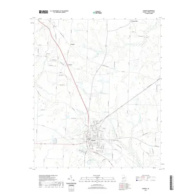 2020 Dawson2020 Print · USGSCovers Terrell County, including Dawson, Yeomans, and other nearby areas
 - 2020 Map of Chickasawhatchee, 2020 Print
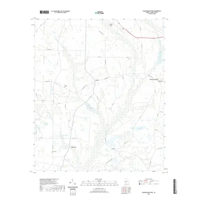 2020 Chickasawhatchee2020 Print · USGSCovers Terrell County, including Clarks Mill, Chickasawhatchee, and other nearby areas
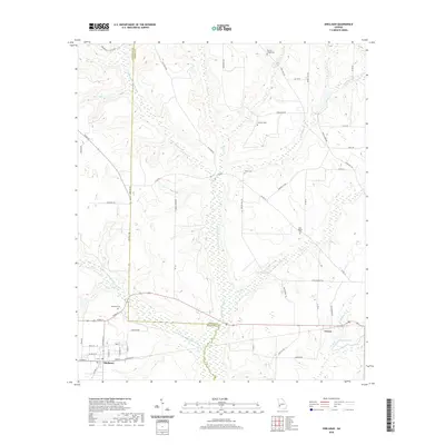
 - 2020 Map of Doverel, 2020 Print
 2020 Doverel2020 Print · USGSCovers Terrell County, including Shellman, Aycock Mill, and other nearby areas
 - 2020 Map of Parrott, 2020 Print
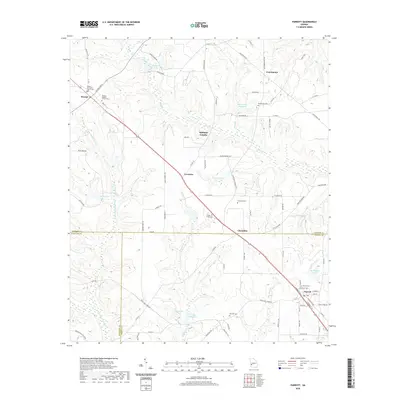 2020 Parrott2020 Print · USGSCovers Terrell County, including Parrott, Weston, and other nearby areas
 - 2024 Map of Pretoria, 2024 Print
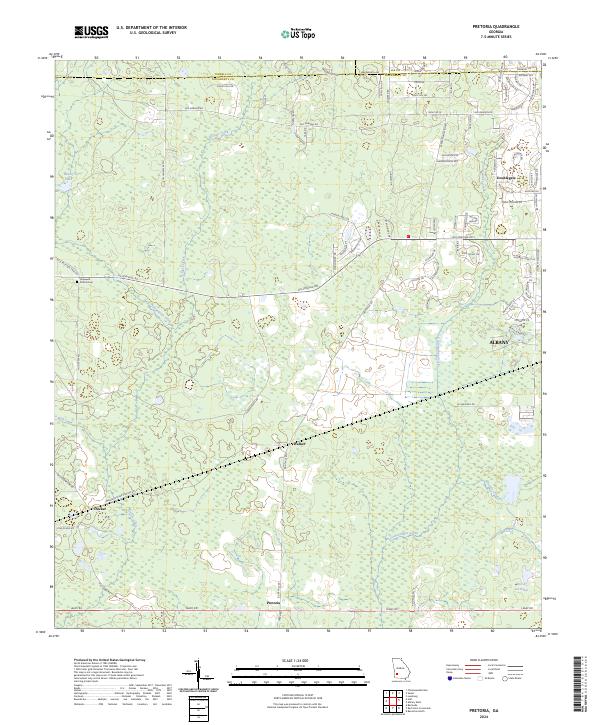 2024 Pretoria2024 Print · USGSDougherty County's rural transitions are visible in this recent study of the land between the western edge of Albany and the farming communities of Pretoria and Ducker. Trace the local waterways of Kiokee Creek and Tullahassee Creek or locate the Hopewell Church Cem.
 - 2024 Map of Bottsford, 2024 Print
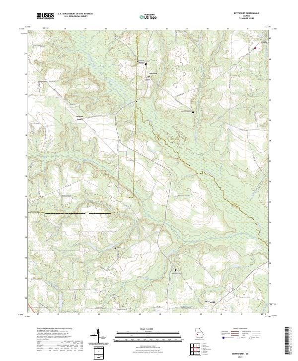 2024 Bottsford2024 Print · USGSThe intersection of Terrell, Webster, and Sumter counties is captured here in the contemporary era, defined by the winding course of Kinchafoonee Creek. Researchers can trace local heritage through numerous rural landmarks like Old Rural Hill Methodist Church Cem and the community at Bottsford.
 - 2024 Map of Holt, 2024 Print
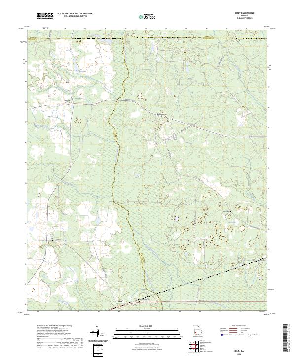 2024 Holt2024 Print · USGSSouthwest Georgia's rural townships and wetland corridors are captured here in 2024 at the meeting of three counties. Genealogists and local historians can trace legacy sites like Saint Paul Cem, the community of Gillionville, and the historic Old Tallassee Trail Rd.
 - 2024 Map of Chickasawhatchee, 2024 Print
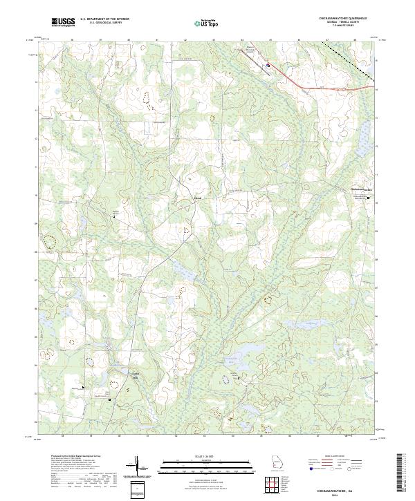 2024 Chickasawhatchee2024 Print · USGSTerrell County maintains its rural character in this modern Georgia survey, showcasing a landscape shaped by creek systems and family-named roads. Genealogists and historians can trace the locations of several burial grounds, including New Hope Cem, Houston Grove Cem, and the old settlement of Herod.
 - 2024 Map of Smithville West, 2024 Print
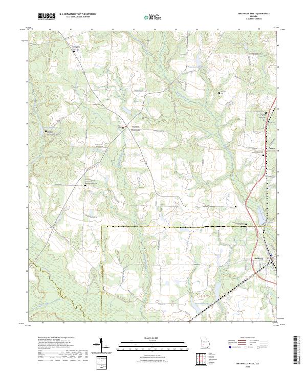 2024 Smithville West2024 Print · USGSThe rural borderlands of Sumter, Lee, and Terrell counties come into focus in this contemporary survey. Genealogists can trace local roots at Bethlehem Missionary Baptist Church Cem, Rylander Cem, and Croxton Crossroads.
 - 2024 Map of Dawson, 2024 Print
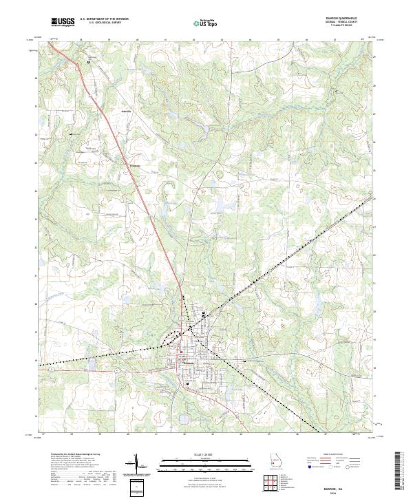 2024 Dawson2024 Print · USGSDawson and Terrell County are shown in the twenty-first century, featuring a landscape of established agriculture and local history. Researchers can trace family roots through numerous burial grounds like Cedar Hill Cem and Sardis Cem or locate the Terrell County Courthouse.
 - 2024 Map of Shellman, 2024 Print
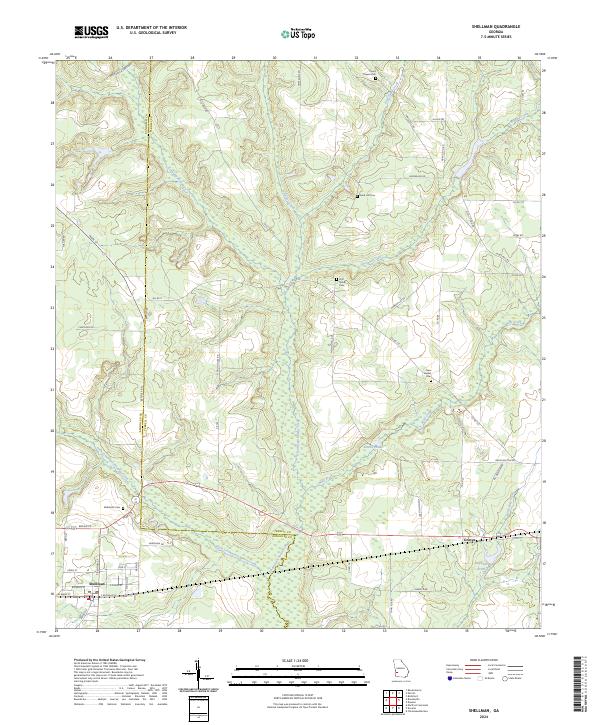 2024 Shellman2024 Print · USGSRandolph and Terrell counties are captured here in the current era, showing a landscape defined by deep creek valleys and small rural junctions. Genealogists can locate several local burial grounds like Pierce Chapel Cem and Rehoboth Cem near the town of Shellman.
 - 2024 Map of Morgan, 2024 Print
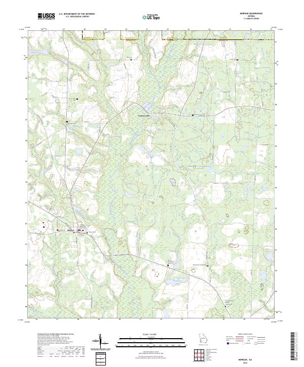 2024 Morgan2024 Print · USGSThe seat of Calhoun County comes into focus here, showing the rural landscape around Morgan as it appears today. Researchers can locate family landmarks and burial sites like Cordrays Mill, Mount Nebo Cem, and the Calhoun County Courthouse.
 - 2024 Map of Bronwood, 2024 Print
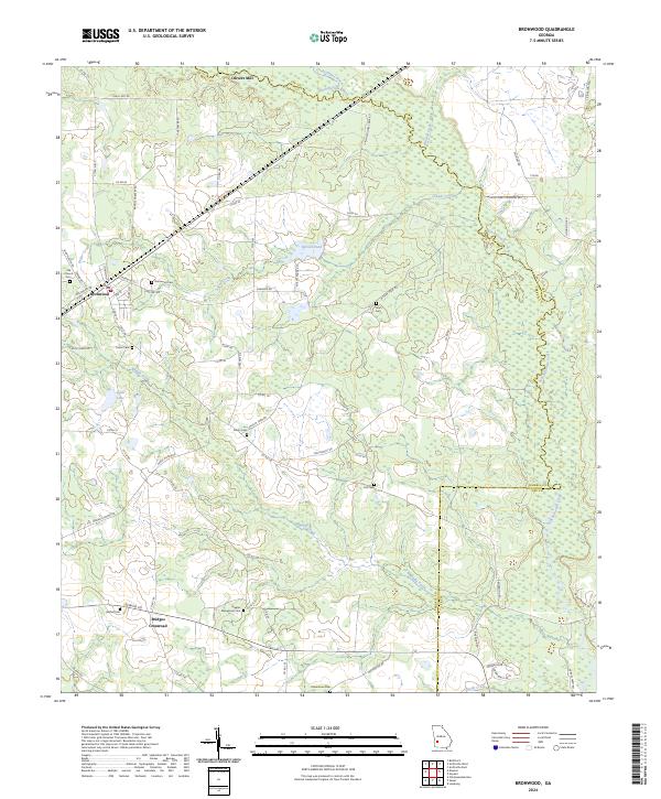 2024 Bronwood2024 Print · USGSAgriculture and rural community life define this Southwest Georgia landscape in the twenty-first century. Genealogists and local historians can trace family locations near Bridges Crossroads or research community roots at the Old Church Cem and Greater Macedonia Cem.
 - 2024 Map of Sasser, 2024 Print
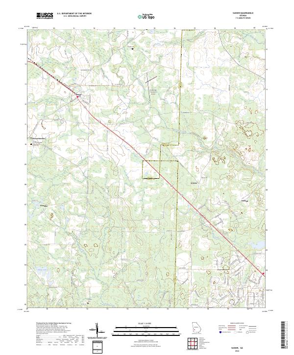 2024 Sasser2024 Print · USGSSouthwest Georgia's agricultural landscape is documented here in the 2020s, showing the enduring rural character of Terrell and Lee Counties. Genealogists can locate several family and community landmarks, including Chickasawhatchee Cem, the Village Baptist Church, and the settlement of Armena.
 - 2024 Map of Doverel, 2024 Print
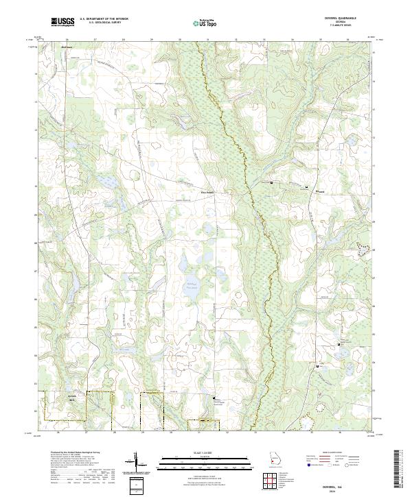 2024 Doverel2024 Print · USGSSouthwest Georgia's agricultural and wetland landscape is captured here in recent years, centered on the corridor of Ichawaynochaway Creek. Researchers can trace local lineage at sites like Bethlehem Freewill Baptist Church Cem or locate the historic Aycock Mill near Shellman.
 - 2024 Map of Parrott, 2024 Print
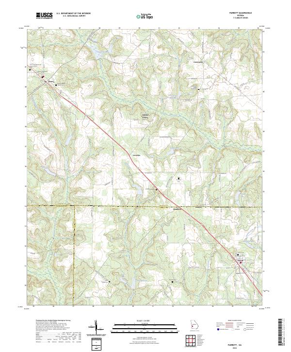 2024 Parrott2024 Print · USGSThe tri-county borderlands of Terrell, Webster, and Randolph counties show a deeply rooted agricultural landscape in the 2020s. Trace family connections at Parrott Cem, Turkey Creek Cem, or the old millpond at Davenports Millpond.
End of results
Showing maps 1-24 of 24
Top cities of Terrell County
Frequently asked questions
- What are the different types of historical maps available for Terrell County?
- What is the oldest map of Terrell County?
- Where can I purchase historical maps of Terrell County for my home or office?
- Where can I download high-res historical maps of Terrell County?
- Are there historical topographic maps available for Terrell County?
- Is there historical aerial imagery available for Terrell County?
- Where are historical maps of Terrell County sourced from?