Old Maps of Toombs County, Georgia for Hiking & Exploration
Hike through history with 81 historic maps of Toombs County. Explore old trails, ghost towns, and forgotten backroads — perfect for outdoor adventurers and local explorers.
- Rediscover forgotten places: Map out old mining camps, roads, and footpaths that no longer exist on modern maps.
- Layer with modern tools: Combine with LiDAR or satellite views to plan hikes through historical terrain.
- Made for exploration: Popular among hikers, overlanders, and local history lovers.
Use these maps to find adventure and explore the hidden past of Toombs County.
Toombs County, GA maps
(81)- 1953 Map of Waycross, 1967 Print
 1953 Waycross1967 Print · USGSSouth Georgia's agricultural and rail heartland is captured here in the mid-1950s, showing a vast network of timber and farming towns. Researchers can trace the rail lines connecting Waycross and Tifton or locate landmarks like Jefferson Davis State Park and Lake Blackshear.2 unique versions available
 - 1957 Map of Macon
 1957 Macon1957 Print · USGSMid-century Georgia comes into focus as the river-and-rail economy shifts toward a new era of aviation and highway travel. Trace family roots and vanished landmarks across the Ocmulgee River valley from Macon to the onion fields of Vidalia.
 - 1958 Map of Macon
 1958 Macon1958 Print · USGSMiddle Georgia during the late fifties shows the post-war expansion of Warner Robins alongside the deep-rooted rail hubs of the Central of Georgia line. Researchers can trace the river-bound boundaries of numerous counties and find local landmarks like Veterans Memorial Hospital and Robins AFB.
 - 1958 Map of Waycross
 1958 Waycross1958 Print · USGSSoutheast Georgia in the late fifties remains a landscape of deep river basins and vital rail junctions. Genealogists and historians can trace family-named landmarks and rural hubs like Union Church, South Georgia College, and the sprawling Okefenokee Swamp.2 unique versions available
 - 1964 Map of Macon
 1964 Macon1964 Print · USGSCentral Georgia in the mid-sixties is defined by its major river valleys and a booming military presence. Genealogists and historians can trace the growth of Warner Robins near Robins AFB or locate smaller rural junctions like Allentown and Jeffersonville along the historic Southern railroad lines.2 unique versions available
 - 1970 Map of Cobbtown, 1973 Print
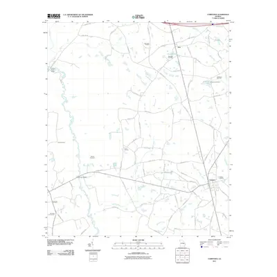
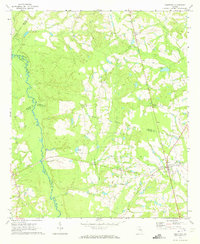 1970 Cobbtown1973 Print · USGSSoutheast Georgia in the early seventies reveals a landscape of tight-knit rural communities and river-bottom lands. Genealogists can trace family roots at Sunlight Cem and Old Reedy Creek Cem, or locate landmarks like Aline and Cobbtown.2 unique versions available
 - 1970 Map of Johnson Corner, 1973 Print
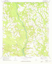
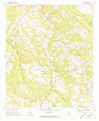
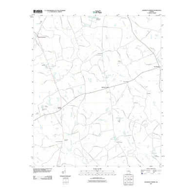
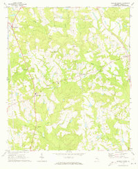 1970 Johnson Corner1973 Print · USGSToombs County in the early 1970s is a landscape of rural crossroads and family homesteads. Genealogists can trace local heritage through several burial sites and churches, including the St Matthew Ch Cem, Pittman Cem, and the central hub at Toombs Central.2 unique versions available
 - 1970 Map of Alston, 1973 Print
 1970 Alston1973 Print · USGSSoutheast Georgia's rural timber and farm country comes into focus in the 1970s, as the Central of Georgia rail line passes through Alston and Uvalda. Genealogists can trace family roots at Galbreath Cem, Mt Calvary Ch, and Old Cedar Crossing Cem.
 - 1970 Map of Oak Park SW, 1973 Print
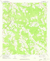
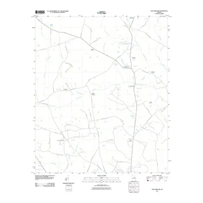
 1970 Oak Park SW1973 Print · USGSSoutheast Georgia in the early 1970s reveals a patchwork of rural cemeteries and cross-county rail lines at the intersection of Montgomery and Toombs counties. Researchers can trace family history through sites like Mosleytown, Mc Leod Grave, and Blockers Chapel.
 - 1970 Map of Vidalia, 1973 Print
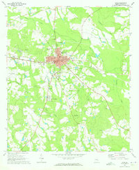
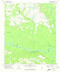
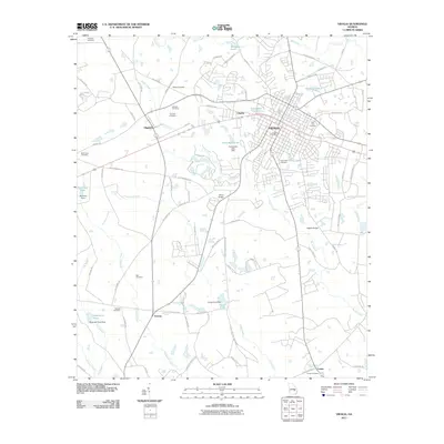
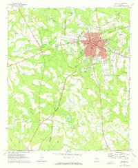 1970 Vidalia1973 Print · USGSIn the early 1970s, the rail crossroads at Vidalia remained the industrial and social heart of Toombs County. Researchers can trace the layout of small communities like Higgston and find many family-named landmarks including Johnson Cem and Allen Chapel.2 unique versions available
 - 1970 Map of Ohoopee, 1973 Print
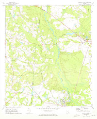
 1970 Ohoopee1973 Print · USGSThe Toombs and Tatnall county line follows the winding river during the early 1970s. Genealogists can locate several family landmarks and community anchors like Saturday Cem, Little Flock Ch, and the rural settlement of Ohoopee.2 unique versions available
 - 1970 Map of Reidsville West, 1973 Print
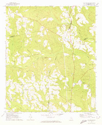
 1970 Reidsville West1973 Print · USGSReidsville and the Ohoopee River basin are captured here in the early seventies, showing a landscape defined by state institutions and rural river life. Genealogists and historians can locate the State Prison, Stanleys Store, and numerous burial grounds like Cave Cem.3 unique versions available
 - 1970 Map of Lyons, 1973 Print
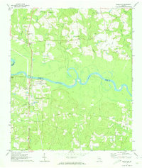
 1970 Lyons1973 Print · USGSToombs County's landscape in the early seventies shows the expansion of Lyons alongside its neighboring communities. Genealogists and local historians can trace the locations of Santa Claus, rural burial sites like Odom Cem, and the Seaboard Coast Line rail corridor.3 unique versions available
 - 1970 Map of Oak Park, 1973 Print
 1970 Oak Park1973 Print · USGSEmanuel County at the start of the 1970s reveals a landscape of tight-knit rural communities and pine-lined wetlands. Genealogists and local historians can trace family roots through a high density of sites like Morris Cem, White Chapel, and the settlement at Normantown.2 unique versions available
 - 1970 Map of Altamaha, 1974 Print
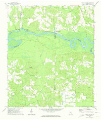
 1970 Altamaha1974 Print · USGSThe Altamaha River bottomlands of Tattnall and Toombs counties were undergoing steady development in the early seventies. Genealogists and local historians can trace family roots through several rural landmarks, including Stripling Cem, Harden Cem, and Ebenezer Ch.
 - 1970 Map of Baxley NE, 1974 Print
 1970 Baxley NE1974 Print · USGSThe Altamaha River corridor comes into focus during the early 1970s as a landscape of rural tradition meeting industrial utility. Genealogists can trace family connections at English Eddy or locate historic sites like Smith Cem and Oak Grove Ch.2 unique versions available
 - 1970 Map of Grays Landing, 1974 Print
 1970 Grays Landing1974 Print · USGSThe Altamaha River bottomlands of Jeff Davis and Toombs Counties come alive in the early seventies, showing a network of river landings and rural outposts. Genealogists and historians can trace family burial sites like Old Smyrna Cem and industrial relics such as the Industrial Railroad.2 unique versions available
 - 1979 Map of Vidalia, 1980 Print
 1979 Vidalia1980 Print · USGSSoutheast Georgia in the late 1970s is a landscape of river-bend settlements and crossing rail lines. Researchers can trace family roots and land patterns through several towns like Vidalia, Soperton, and Mount Vernon, or locate regional landmarks like the State Prison.2 unique versions available
 - 1979 Map of Hazlehurst, 1980 Print
 1979 Hazlehurst1980 Print · USGSSoutheast Georgia in the late seventies is defined by the convergence of major rail lines and river basins in Jeff Davis and Appling counties. Genealogists and local historians can trace the development of Hazlehurst and Baxley alongside features like the Pine Grove Pipeline and the Altamaha River wetlands.
 - 1988 Map of Waycross
 1988 Waycross1988 Print · USGSSouth Georgia's wiregrass and timber country is documented here in the late eighties, centered on the vital rail junction of Waycross. Genealogists and historians can trace the rural landscape from Okefenokee up to the Ocmulgee, finding sites like Lumber City and Jefferson Davis Memorial State Park.
 - 1988 Map of Macon, 1989 Print
 1988 Macon1989 Print · USGSCentral Georgia is captured during the late eighties, showing the expansive river systems and growing urban hubs of the regional interior. Genealogists and historians can trace the paths of the Central of Georgia Railroad and locate communities like Warner Robbins, Dublin, and Sandersville.
 - 2011 Map of Vidalia, 2011 Print
 2011 Vidalia2011 Print · USGSCovers Toombs County, including Higgston, Center, and other nearby areas
 - 2011 Map of Cobbtown, 2011 Print
 2011 Cobbtown2011 Print · USGSCovers Toombs County, including Cobbtown, Aline, and other nearby areas
 - 2011 Map of Oak Park SW, 2011 Print
 2011 Oak Park SW2011 Print · USGSCovers Toombs County, including Normantown, Emanuel County, and other nearby areas
 - 2011 Map of Johnson Corner, 2011 Print
 2011 Johnson Corner2011 Print · USGSCovers Toombs County, including New Branch, Johnson Corner, and other nearby areas
Showing maps 1-25 of 81
Top cities of Toombs County
Frequently asked questions
- What are the different types of historical maps available for Toombs County?
- What is the oldest map of Toombs County?
- Where can I purchase historical maps of Toombs County for my home or office?
- Where can I download high-res historical maps of Toombs County?
- Are there historical topographic maps available for Toombs County?
- Is there historical aerial imagery available for Toombs County?
- Where are historical maps of Toombs County sourced from?