Old Maps of Soperton, Georgia
Explore 23 old maps of Soperton, spanning from 1957 to today. These high-resolution historic maps reveal how streets, neighborhoods, landmarks, and natural features evolved over time — perfect for genealogy, metal detecting, research, and local history exploration.
What you can do with these maps:
- See how Soperton changed over time: Compare historical maps to modern-day views to trace roads, homesites, rail lines & more.
- View detailed metadata: Each map includes creators, publishers, year, scale, and archive source.
- Overlay maps with satellite & LiDAR: Visualize the past alongside modern tools to explore terrain & human change.
- Trusted historical sources: Maps sourced from the USGS, Library of Congress, and other archives.
- Access maps your way: View online, download high-res files, or order prints for personal or research use.
Start exploring old maps of Soperton to uncover forgotten places, hidden landmarks, and the deep history beneath your feet.
Soperton, GA maps
(23)- 1957 Map of Macon
 1957 Macon1957 Print · USGSMid-century Georgia comes into focus as the river-and-rail economy shifts toward a new era of aviation and highway travel. Trace family roots and vanished landmarks across the Ocmulgee River valley from Macon to the onion fields of Vidalia.
 - 1958 Map of Macon
 1958 Macon1958 Print · USGSMiddle Georgia during the late fifties shows the post-war expansion of Warner Robins alongside the deep-rooted rail hubs of the Central of Georgia line. Researchers can trace the river-bound boundaries of numerous counties and find local landmarks like Veterans Memorial Hospital and Robins AFB.
 - 1964 Map of Macon
 1964 Macon1964 Print · USGSCentral Georgia in the mid-sixties is defined by its major river valleys and a booming military presence. Genealogists and historians can trace the growth of Warner Robins near Robins AFB or locate smaller rural junctions like Allentown and Jeffersonville along the historic Southern railroad lines.2 unique versions available
 - 1971 Map of Soperton South, 1973 Print
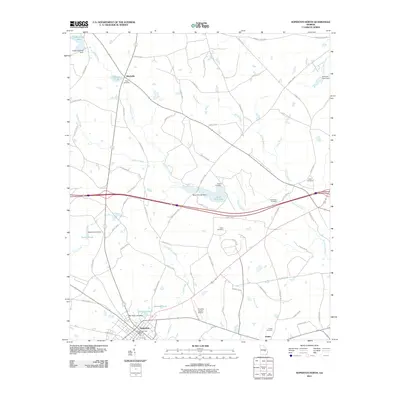
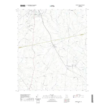
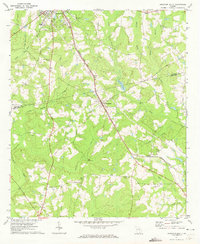 1971 Soperton South1973 Print · USGSSoutheast Georgia in the early seventies is revealed here through its transition from Treutlen to Montgomery County. Genealogists and historians can trace family locations near Tarrytown, Kibbee, and Hamilton Hill Cem along the Seaboard Coast Line.
 - 1971 Map of Soperton North, 1973 Print
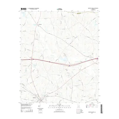
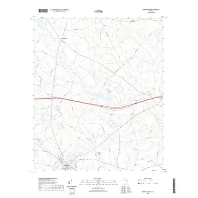
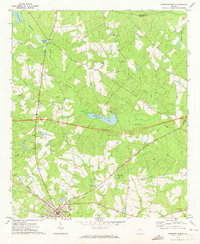 1971 Soperton North1973 Print · USGSTreutlen and Emanuel Counties are shown in the early seventies as a new highway was cutting across the landscape. Genealogists can trace family roots at Johnson Chapel Cem, Ricks Cem, or the Lookout Tower Harmony Ch.2 unique versions available
 - 1971 Map of Rockledge, 1974 Print
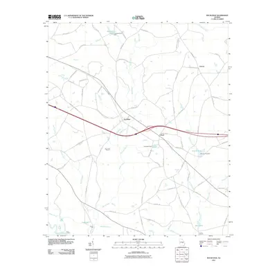
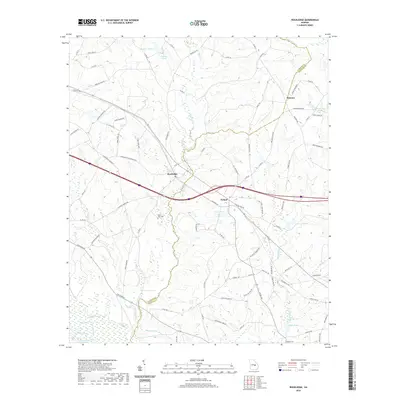
 1971 Rockledge1974 Print · USGSLaurens and Treutlen counties in the early 1970s show a landscape of traditional river landings and rail-side settlements being transformed by new highway projects. Researchers can trace family history at Norris Chapel, visit the river at Stave Landing, or follow the Seaboard Coast Line through Rockledge.2 unique versions available
 - 1979 Map of Vidalia, 1980 Print
 1979 Vidalia1980 Print · USGSSoutheast Georgia in the late 1970s is a landscape of river-bend settlements and crossing rail lines. Researchers can trace family roots and land patterns through several towns like Vidalia, Soperton, and Mount Vernon, or locate regional landmarks like the State Prison.2 unique versions available
 - 1988 Map of Macon, 1989 Print
 1988 Macon1989 Print · USGSCentral Georgia is captured during the late eighties, showing the expansive river systems and growing urban hubs of the regional interior. Genealogists and historians can trace the paths of the Central of Georgia Railroad and locate communities like Warner Robbins, Dublin, and Sandersville.
 - 2011 Map of Soperton South, 2011 Print
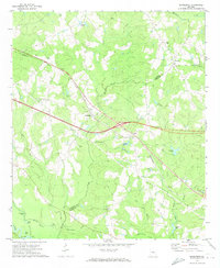
 2011 Soperton South2011 Print · USGSCovers Soperton, including Tarrytown, Zaidee, and other nearby areas
 - 2011 Map of Rockledge, 2011 Print
 2011 Rockledge2011 Print · USGSCovers Soperton, including Orianna, Rockledge, and other nearby areas
 - 2011 Map of Soperton North, 2011 Print
 2011 Soperton North2011 Print · USGSCovers Soperton, including Blackville, Emanuel County, and other nearby areas
 - 2014 Map of Soperton North, 2014 Print
 2014 Soperton North2014 Print · USGSCovers Soperton, including Blackville, Emanuel County, and other nearby areas
 - 2014 Map of Rockledge, 2014 Print
 2014 Rockledge2014 Print · USGSCovers Soperton, including Orianna, Rockledge, and other nearby areas
 - 2014 Map of Soperton South, 2014 Print
 2014 Soperton South2014 Print · USGSCovers Soperton, including Tarrytown, Zaidee, and other nearby areas
 - 2017 Map of Soperton North, 2017 Print
 2017 Soperton North2017 Print · USGSCovers Soperton, including Blackville, Emanuel County, and other nearby areas
 - 2017 Map of Rockledge, 2017 Print
 2017 Rockledge2017 Print · USGSCovers Soperton, including Orianna, Rockledge, and other nearby areas
 - 2017 Map of Soperton South, 2017 Print
 2017 Soperton South2017 Print · USGSCovers Soperton, including Tarrytown, Zaidee, and other nearby areas
 - 2020 Map of Soperton North, 2020 Print
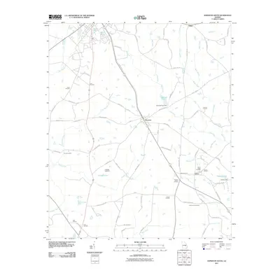
 2020 Soperton North2020 Print · USGSCovers Soperton, including Blackville, Emanuel County, and other nearby areas
 - 2020 Map of Soperton South, 2020 Print
 2020 Soperton South2020 Print · USGSCovers Soperton, including Tarrytown, Zaidee, and other nearby areas
 - 2020 Map of Rockledge, 2020 Print
 2020 Rockledge2020 Print · USGSCovers Soperton, including Orianna, Rockledge, and other nearby areas
 - 2024 Map of Soperton South, 2024 Print
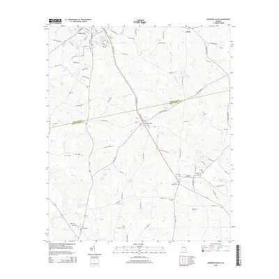
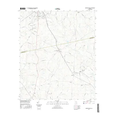
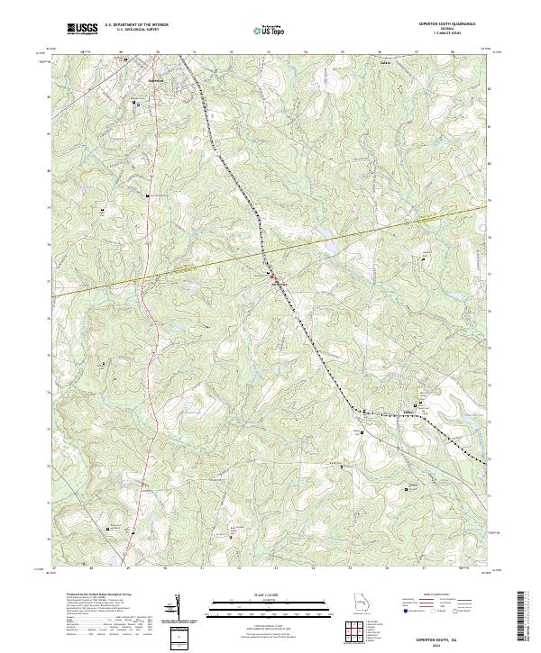 2024 Soperton South2024 Print · USGSThe Georgia countryside south of Soperton is revealed here at the Treutlen-Montgomery county line. Local historians can trace family lineage through numerous burial grounds like the Bazel Connell Family Cem and the small settlements of Tarrytown and Kibbee.
 - 2024 Map of Soperton North, 2024 Print
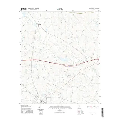
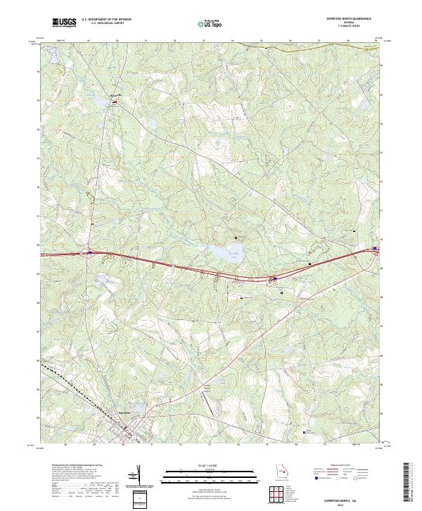 2024 Soperton North2024 Print · USGSTreutlen and Emanuel counties come together in this modern survey of the Georgia coastal plain. Genealogists can trace family heritage through sites like Ricks Family Cem, Hutchinson Cem, and the rural community of Blackville.
 - 2024 Map of Rockledge, 2024 Print
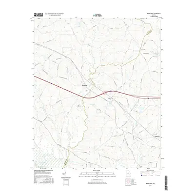
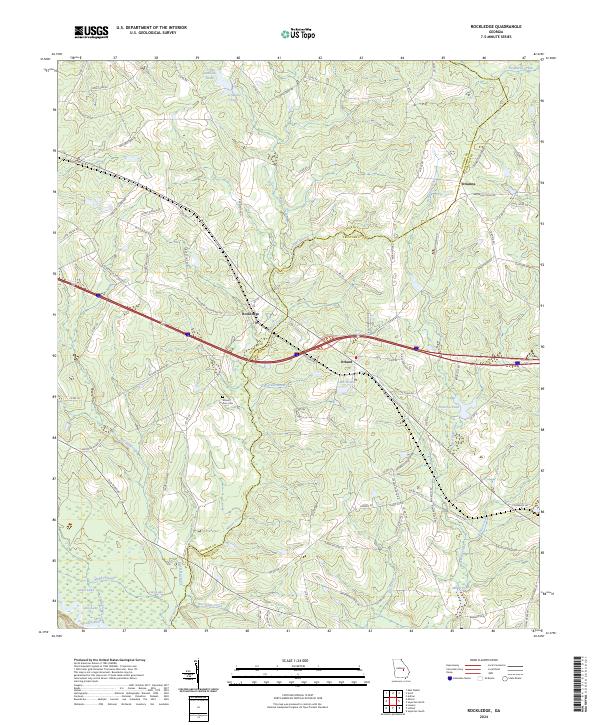 2024 Rockledge2024 Print · USGSLaurens and Treutlen Counties are captured here in the modern era as they straddle the swampy drainages of the Oconee River. Local historians can trace the rural communities of Rockledge, Orland, and Orianna alongside landmarks like Mount Zion Cem and Lake Helen.
End of results
Showing maps 1-23 of 23
Top cities near Soperton
- Swainsboro historical maps
- Alamo historical maps
- East Dublin historical maps
- Mount Vernon historical maps
- Glenwood historical maps
- Adrian historical maps
See more
Frequently asked questions
- What are the different types of historical maps available for Soperton?
- What is the oldest map of Soperton?
- Where can I purchase historical maps of Soperton for my home or office?
- Where can I download high-res historical maps of Soperton?
- Are there historical topographic maps available for Soperton?
- Is there historical aerial imagery available for Soperton?
- Where are historical maps of Soperton sourced from?