2020s Maps of West Point, Georgia
Explore 6 historic maps of West Point from the 2020s. These maps offer a rare glimpse into what life looked like during the 2020s — showing old roads, neighborhoods, homes, and landmarks that have changed or disappeared over time.
Whether you're researching your family's past, planning a metal detecting trip, or studying how West Point's landscape evolved across the 2020s, these high-resolution maps are a powerful tool for exploring the history of this region.
- Focus on a specific era: All maps on this page are from the 2020s, giving you a focused view of this time period.
- See what’s changed: Compare century-old streets, trails, and buildings to today's modern landscape using overlays and satellite layers.
- Research with precision: Use these maps for genealogy, historical research, land use analysis, or educational projects.
- View, download, or print: Maps are fully viewable online in high resolution, and can be downloaded or printed for your own records.
Start exploring West Point's history through authentic maps from the 2020s. This is your window into the past.
West Point, GA maps
(6)- 2020 Map of Cannonville, 2020 Print
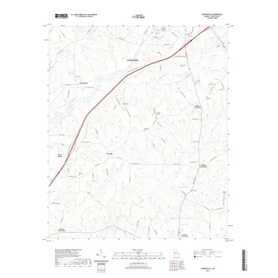 2020 Cannonville2020 Print · USGSCovers West Point, including LaGrange, Baughs Crossroads, and other nearby areas
 - 2020 Map of Lanett North, 2020 Print
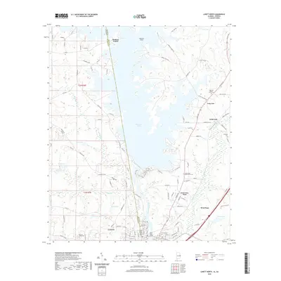 2020 Lanett North2020 Print · USGSCovers West Point, including Lanett, Piedmont Heights, and other nearby areas
 - 2020 Map of Lanett South, 2020 Print
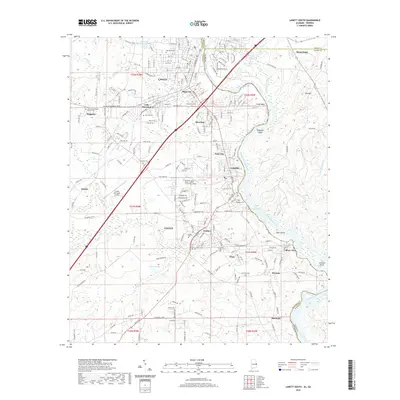 2020 Lanett South2020 Print · USGSCovers West Point, including Valley, Lanett, and other nearby areas
 - 2024 Map of Cannonville, 2024 Print
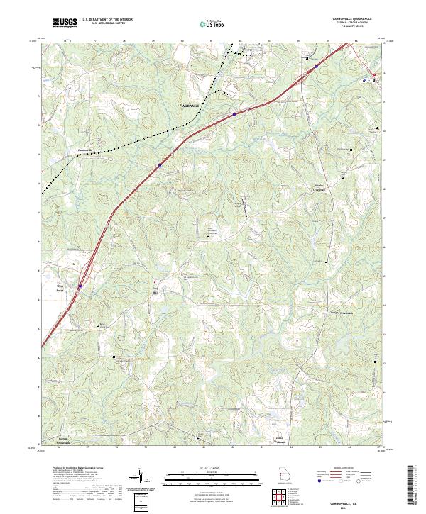 2024 Cannonville2024 Print · USGSTroup County in the 2020s remains a landscape of historic crossroads and country churches despite modern growth near LaGrange. Researchers can locate several family-named burial grounds like Oak Grove Cem and community hubs like Gray Hill or Jones Crossroads.
 - 2024 Map of Lanett North, 2024 Print
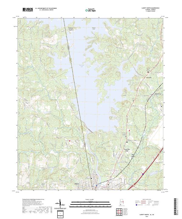 2024 Lanett North2024 Print · USGSSettlements along the Alabama and Georgia border are mapped here in the modern era, centered on the river and its reservoirs. Genealogists can locate Fort Tyler Cem, Traylor Cem, and churches like Long Cane Baptist Church Cem.
 - 2024 Map of Lanett South, 2024 Print
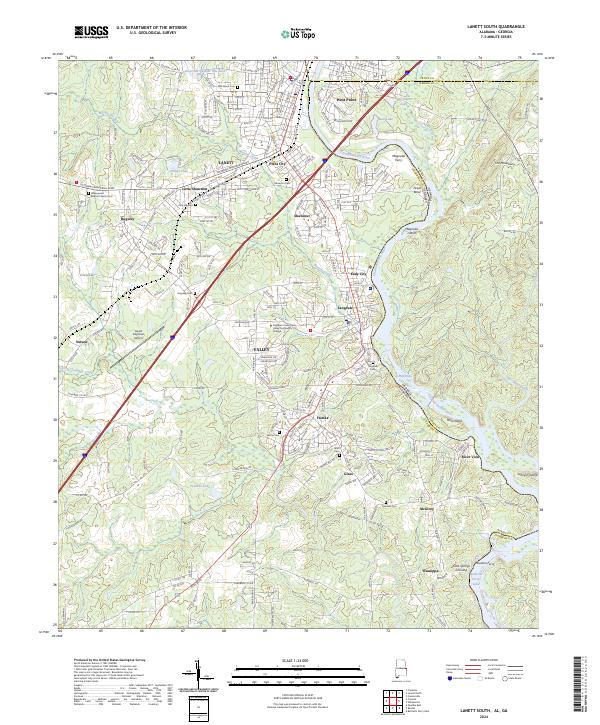 2024 Lanett South2024 Print · USGSThe Chattahoochee River valley comes alive in this survey of Chambers County, where mill towns and river crossings define the borderlands. Genealogists can trace family roots through sites like Greenwood Baptist Church Cem and Pine Hill Cem.
End of results
Showing maps 1-6 of 6
Top cities near West Point
- Opelika historical maps
- LaGrange historical maps
- Valley historical maps
- Lanett historical maps
- Roanoke historical maps
- Huguley historical maps
See more
Frequently asked questions
- What are the different types of historical maps available for West Point?
- What is the oldest map of West Point?
- Where can I purchase historical maps of West Point for my home or office?
- Where can I download high-res historical maps of West Point?
- Are there historical topographic maps available for West Point?
- Is there historical aerial imagery available for West Point?
- Where are historical maps of West Point sourced from?