Old Maps of Sycamore, Georgia for Academic Research
Study the evolution of Sycamore with 16 high-resolution historic maps. Whether you're teaching, researching, or modeling changes in land use, these maps provide essential visual documentation of urban, environmental, and geographic change.
- Analyze long-term change: Track patterns in development, transportation, and natural features.
- Ideal for environmental or urban studies: Support academic projects with primary historical map data.
- Use in the classroom or lab: Educators and researchers rely on these maps to bring historical context to life.
These maps are a powerful tool for teaching, research, and visualizing how Sycamore has changed over the decades.
Sycamore, GA maps
(16)- 1953 Map of Waycross, 1967 Print
 1953 Waycross1967 Print · USGSSouth Georgia's agricultural and rail heartland is captured here in the mid-1950s, showing a vast network of timber and farming towns. Researchers can trace the rail lines connecting Waycross and Tifton or locate landmarks like Jefferson Davis State Park and Lake Blackshear.2 unique versions available
 - 1958 Map of Waycross
 1958 Waycross1958 Print · USGSSoutheast Georgia in the late fifties remains a landscape of deep river basins and vital rail junctions. Genealogists and historians can trace family-named landmarks and rural hubs like Union Church, South Georgia College, and the sprawling Okefenokee Swamp.2 unique versions available
 - 1973 Map of Ashburn, 1976 Print
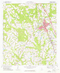 1973 Ashburn1976 Print · USGSMid-1970s Turner County comes to life as the Georgia Southern and Florida railroad connects the bustling hubs of Ashburn and Sycamore. Genealogists can locate family landmarks such as Hobby Cem, Oak Grove Ch, and the small settlement of Coverdale.
 - 1973 Map of Bethel, 1976 Print
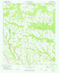 1973 Bethel1976 Print · USGSTurner County's rural landscape is captured here in the early seventies, showing a community defined by its creeks and country crossroads. Researchers can trace family roots through several local congregations like New Hope Ch and Prospect Ch or locate the Georgia Southern and Florida rail line.2 unique versions available
 - 1981 Map of Cordele, 1982 Print
 1981 Cordele1982 Print · USGSSouth Georgia’s agricultural heartland is documented here in the early eighties, showing the convergence of the Seaboard Coast Line Railroad and the Georgia Southern and Florida lines. Genealogists and researchers can trace local landmarks like Bowens Mill Pond, the University of Georgia Research Center, and the shores of Lake Blackshear.
 - 1988 Map of Waycross
 1988 Waycross1988 Print · USGSSouth Georgia's wiregrass and timber country is documented here in the late eighties, centered on the vital rail junction of Waycross. Genealogists and historians can trace the rural landscape from Okefenokee up to the Ocmulgee, finding sites like Lumber City and Jefferson Davis Memorial State Park.
 - 2011 Map of Ashburn, 2011 Print
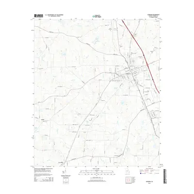
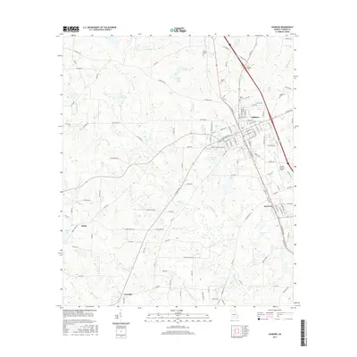
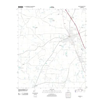 2011 Ashburn2011 Print · USGSCovers Sycamore, including Ashburn, Coverdale, and other nearby areas
 - 2011 Map of Bethel, 2011 Print
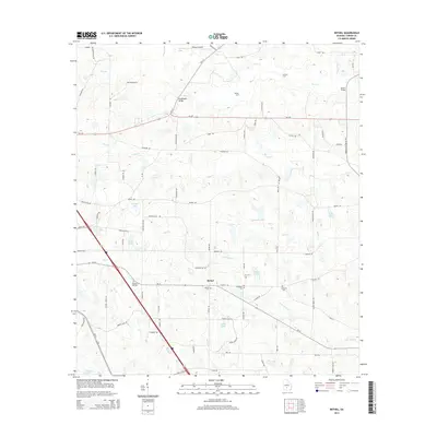
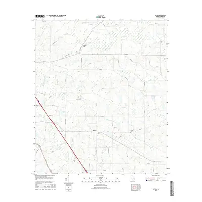
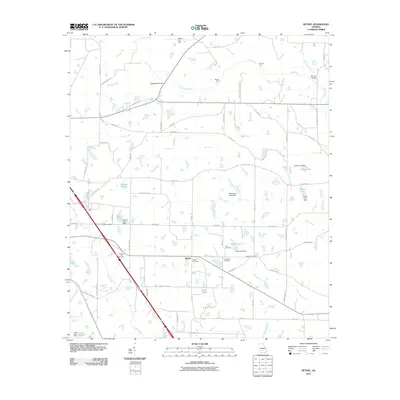 2011 Bethel2011 Print · USGSCovers Sycamore, including Bethel, Turner County, and other nearby areas
 - 2014 Map of Bethel, 2014 Print
 2014 Bethel2014 Print · USGSCovers Sycamore, including Bethel, Turner County, and other nearby areas
 - 2014 Map of Ashburn, 2014 Print
 2014 Ashburn2014 Print · USGSCovers Sycamore, including Ashburn, Coverdale, and other nearby areas
 - 2017 Map of Bethel, 2017 Print
 2017 Bethel2017 Print · USGSCovers Sycamore, including Bethel, Turner County, and other nearby areas
 - 2017 Map of Ashburn, 2017 Print
 2017 Ashburn2017 Print · USGSCovers Sycamore, including Ashburn, Coverdale, and other nearby areas
 - 2020 Map of Ashburn, 2020 Print
 2020 Ashburn2020 Print · USGSCovers Sycamore, including Ashburn, Coverdale, and other nearby areas
 - 2020 Map of Bethel, 2020 Print
 2020 Bethel2020 Print · USGSCovers Sycamore, including Bethel, Turner County, and other nearby areas
 - 2024 Map of Ashburn, 2024 Print
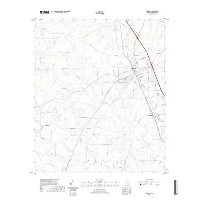
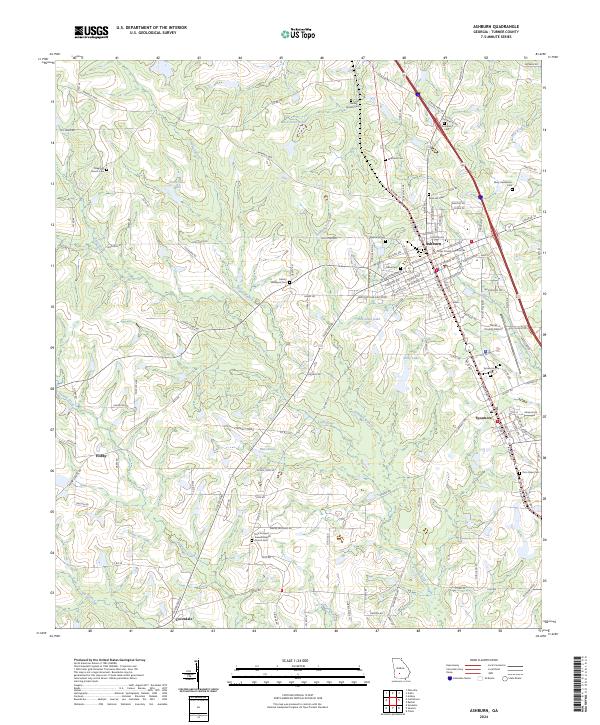 2024 Ashburn2024 Print · USGSTurner County's agricultural heart is captured in this modern survey of the plains around the Little River. Genealogists can locate family burial sites like Widdons Cem and Mary Henderson Cem or trace the early roots of communities in Ashburn and Sycamore.
 - 2024 Map of Bethel, 2024 Print
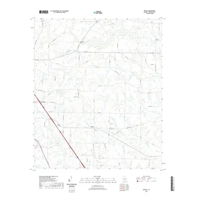
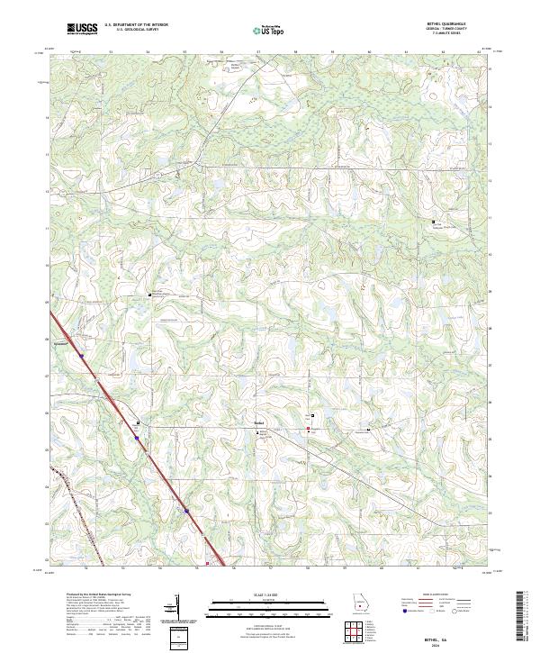 2024 Bethel2024 Print · USGSTurner County at the start of the 2020s remains a landscape of deep-rooted community foundations and rural crossroads. Genealogists can trace family names and local history through several key burial grounds, including Pleasant Hill Cem, Clements Cem, and the Live Oak Methodist Church Cem.
End of results
Showing maps 1-16 of 16
Top cities near Sycamore
- Tifton historical maps
- Sylvester historical maps
- Ashburn historical maps
- Poulan historical maps
- Ty Ty historical maps
- Arabi historical maps
See more
Frequently asked questions
- What are the different types of historical maps available for Sycamore?
- What is the oldest map of Sycamore?
- Where can I purchase historical maps of Sycamore for my home or office?
- Where can I download high-res historical maps of Sycamore?
- Are there historical topographic maps available for Sycamore?
- Is there historical aerial imagery available for Sycamore?
- Where are historical maps of Sycamore sourced from?