Old Maps of Logtown, Georgia
Explore 11 old maps of Logtown, spanning from 1951 to today. These high-resolution historic maps reveal how streets, neighborhoods, landmarks, and natural features evolved over time — perfect for genealogy, metal detecting, research, and local history exploration.
What you can do with these maps:
- See how Logtown changed over time: Compare historical maps to modern-day views to trace roads, homesites, rail lines & more.
- View detailed metadata: Each map includes creators, publishers, year, scale, and archive source.
- Overlay maps with satellite & LiDAR: Visualize the past alongside modern tools to explore terrain & human change.
- Trusted historical sources: Maps sourced from the USGS, Library of Congress, and other archives.
- Access maps your way: View online, download high-res files, or order prints for personal or research use.
Start exploring old maps of Logtown to uncover forgotten places, hidden landmarks, and the deep history beneath your feet.
Logtown, GA maps
(11)- 1951 Map of Yatesville, 1952 Print
 1951 Yatesville1952 Print · USGSIn the early 1950s, this Georgia landscape was defined by the crossing of the Central of Georgia and Southern railroads. Local researchers can trace family names and small-town life through landmarks like Topeka Junction, Anniebel Sch, and Andrews Chapel.3 unique versions available
 - 1955 Map of Phenix City, 1964 Print
 1955 Phenix City1964 Print · USGSPost-war Alabama and Georgia meet along the Chattahoochee River as industry and military installations expand. Trace the rail lines of the Central of Georgia through towns like Opelika, Tuskegee, and Alexander City.3 unique versions available
 - 1957 Map of Phenix City
 1957 Phenix City1957 Print · USGSThe Alabama-Georgia borderlands are captured here in the mid-fifties, centered on the bustling river crossing at Phenix City and Columbus. Researchers can trace the mid-century footprint of the Fort Benning Military Reservation or locate smaller textile and railroad towns like Langdale and Camp Hill.
 - 1958 Map of Phenix City
 1958 Phenix City1958 Print · USGSThe Alabama-Georgia borderlands thrive during the late fifties, anchored by the river-driven industry of Columbus and Phenix City. Researchers can trace the mid-century footprints of Fort Benning, Auburn, and the textile towns of Fairfax and Lanett.
 - 1974 Map of Logtown, 1976 Print
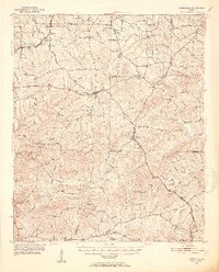
 1974 Logtown1976 Print · USGSUpson and Crawford County rural life in the mid-seventies is captured here through its network of creek-side settlements and country churches. Researchers can trace family history through over a dozen named burial sites like Rocky Mt Cem and find landmarks like the Covered Bridge on Auchumpkee Creek.
 - 1981 Map of Thomaston, 1982 Print
 1981 Thomaston1982 Print · USGSCentral Georgia’s ridgeline and river country comes into focus in this early 1980s survey of the Pine Mountain corridor. Researchers can trace historic church sites like Oak Grove Ch, the rail junctions at Manchester, and the expansive Franklin D Roosevelt State Park.
 - 2011 Map of Logtown, 2011 Print
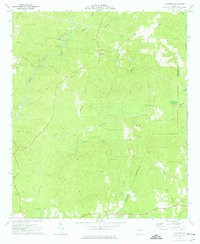
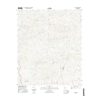
 2011 Logtown2011 Print · USGSCovers Logtown, including Salem, Upson County, and other nearby areas
 - 2014 Map of Logtown, 2014 Print
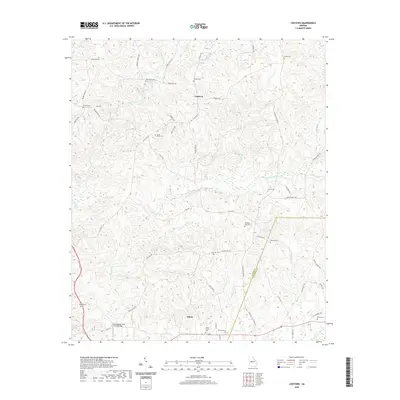
 2014 Logtown2014 Print · USGSCovers Logtown, including Salem, Upson County, and other nearby areas
 - 2017 Map of Logtown, 2017 Print
 2017 Logtown2017 Print · USGSCovers Logtown, including Salem, Upson County, and other nearby areas
 - 2020 Map of Logtown, 2020 Print
 2020 Logtown2020 Print · USGSCovers Logtown, including Salem, Upson County, and other nearby areas
 - 2024 Map of Logtown, 2024 Print
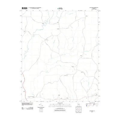
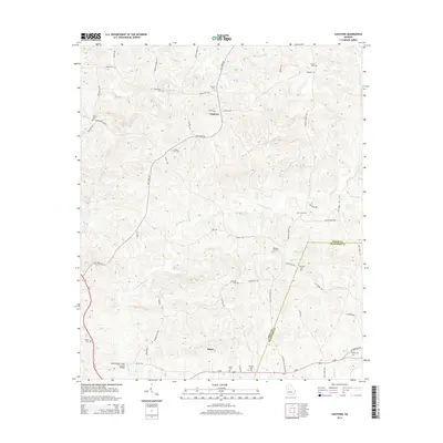
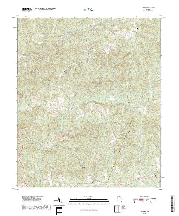 2024 Logtown2024 Print · USGSThe crossroads of Salem and the Logtown community are mapped here as they appeared in 2024 on the Upson and Crawford county line. Researchers can locate numerous family burial sites and rural landmarks, including Salem Baptist Church Cem, Bentley Cem, and Auchumpkee Creek.
End of results
Showing maps 1-11 of 11
Top cities near Logtown
- Thomaston historical maps
- Barnesville historical maps
- Forsyth historical maps
- Hannahs Mill historical maps
- Zebulon historical maps
- Roberta historical maps
See more
Frequently asked questions
- What are the different types of historical maps available for Logtown?
- What is the oldest map of Logtown?
- Where can I purchase historical maps of Logtown for my home or office?
- Where can I download high-res historical maps of Logtown?
- Are there historical topographic maps available for Logtown?
- Is there historical aerial imagery available for Logtown?
- Where are historical maps of Logtown sourced from?