Old Maps of Varnell, Georgia for Hiking & Exploration
Hike through history with 24 historic maps of Varnell. Explore old trails, ghost towns, and forgotten backroads — perfect for outdoor adventurers and local explorers.
- Rediscover forgotten places: Map out old mining camps, roads, and footpaths that no longer exist on modern maps.
- Layer with modern tools: Combine with LiDAR or satellite views to plan hikes through historical terrain.
- Made for exploration: Popular among hikers, overlanders, and local history lovers.
Use these maps to find adventure and explore the hidden past of Varnell.
Varnell, GA maps
(24)- 1886 Map of Dalton
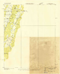
 1886 Dalton1886 Print · USGSNorthwest Georgia in the 1880s is a landscape of mountain gaps and vital river ferries. Trace family roots and vanished infrastructure from Dalton to Spring Place, including named landmarks like Shackelfords Ferry and Fort Mountain.
 - 1892 Map of Dalton
 1892 Dalton1892 Print · USGSNorthwest Georgia in the late nineteenth century was defined by its river crossings and the emerging rail lines through Dalton. Researchers can trace the Federal Road and locate family landmarks like Newtown Ferry or Talking Rock Mills.
 - 1897 Map of Dalton
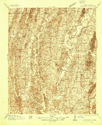
 1897 Dalton1897 Print · USGSNorthwest Georgia in the late nineteenth century was a rugged landscape of river crossings and mountain gaps. Genealogists can trace early homesteads and commerce at Praters Mill, Spring Place, and historic river crossings like Montgomery Ferry.4 unique versions available
 - 1935 Map of Tiger Creek
 1935 Tiger Creek1935 Print · USGSThe Tennessee and Georgia borderlands meet along the ridges of Whitfield and Catoosa counties in the mid-1930s. Genealogists and historians can trace family land along Tiger Creek and locate the Southern railroad crossing at White Cut.
 - 1938 Map of Chatsworth
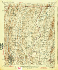
 1938 Chatsworth1938 Print · USGSMurray and Whitfield counties in the late 1930s show a landscape of river-crossing culture and early aviation infrastructure. Researchers can locate family landmarks like Praters Mill, rural schools such as Deep Springs Sch, and historic river points including Harris Ford.3 unique versions available
 - 1943 Map of Dalton
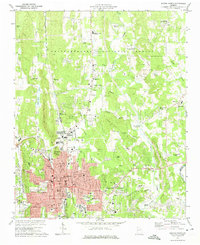
 1943 Dalton1943 Print · USGSWhitfield and Murray counties come alive in the 1940s, showing the early industrial growth of the carpet capital and the surrounding farming settlements. Researchers can locate family landmarks like Praters Mill, Gregorys Mill, and the many rural sites such as Shiloh Ch or Oak Grove Sch.2 unique versions available
 - 1955 Map of Rome
 1955 Rome1955 Print · USGSThe tri-state borderlands of Georgia, Alabama, and Tennessee appear in the mid-fifties as a landscape of ridge-and-valley industry and river navigation. Genealogists can trace family footprints near Chattanooga, the iron works of Gadsden, and textile towns like Trion or Summerville.
 - 1958 Map of Rome, 1966 Print
 1958 Rome1966 Print · USGSNorthwest Georgia and neighboring Tennessee and Alabama are captured here in the late fifties, showcasing a landscape of high ridges and river valleys. Researchers can trace historic rail lines like the Seaboard Air Line RR and explore the bounds of Cloudland Canyon State Park or Fort Oglethorpe.3 unique versions available
 - 1960 Map of Cohutta, 1962 Print
 1960 Cohutta1962 Print · USGSWhitfield County and the Georgia-Tennessee border are detailed here in the early sixties, showing a landscape of forest ridges and rail-side towns. Genealogists can locate family landmarks like Prater Mill, South Cohutta Ch, and the Hoskins Cem.3 unique versions available
 - 1961 Map of Rome
 1961 Rome1961 Print · USGSNorthwest Georgia and neighboring Tennessee and Alabama are shown here at a moment of significant mid-century growth. Researchers can trace the rail networks of the Central of Georgia or locate landmarks within Chickamauga and Chattanooga Nat Military Park.
 - 1963 Map of Rome
 1963 Rome1963 Print · USGSThe tri-state corner of Georgia, Alabama, and Tennessee is captured here during a period of massive reservoir expansion and post-war growth. Genealogists and historians can trace the rail corridors of the Southern Ry or locate landmarks like Fort Oglethorpe and Cloudland Canyon State Park.
 - 1972 Map of Dalton North, 1974 Print
 1972 Dalton North1974 Print · USGSThe growing town of Dalton and its surrounding rural communities are captured here in the early seventies. Genealogists and local historians can locate several family-named landmarks and institutions, from the West Hill Cemetery to Grove Level Ch and the historic Southern rail line.3 unique versions available
 - 1981 Map of Dalton, 1982 Print
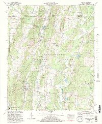
 1981 Dalton1982 Print · USGSNorth Georgia and the tristate borderlands are captured in the early eighties as the textile economy of Dalton thrived alongside the expanding Chattahoochee National Forest. Genealogists and hikers can trace the Appalachian Trail through the high country or locate family-named landmarks like Haskins Mill and Carters Mill.
 - 1982 Map of Cohutta, 1984 Print
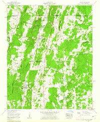
 1982 Cohutta1984 Print · USGSCrossing the Tennessee border into North Georgia in the early eighties, this survey captures the rural character of Whitfield County. Genealogists and local historians can trace family-named sites like Goode Cem and landmarks such as Prater Mill and McGaughey Lookout Tower.2 unique versions available
 - 2010 Map of Cohutta, 2010 Print
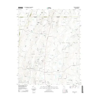
 2010 Cohutta2010 Print · USGSCovers Varnell, including Cohutta, Red Clay, and other nearby areas
 - 2011 Map of Dalton North, 2011 Print
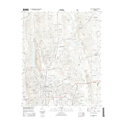
 2011 Dalton North2011 Print · USGSCovers Varnell, including Dalton, Cedar Ridge, and other nearby areas
 - 2014 Map of Cohutta, 2014 Print
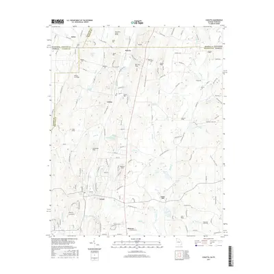
 2014 Cohutta2014 Print · USGSCovers Varnell, including Cohutta, Red Clay, and other nearby areas
 - 2014 Map of Dalton North, 2014 Print
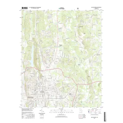
 2014 Dalton North2014 Print · USGSCovers Varnell, including Dalton, Cedar Ridge, and other nearby areas
 - 2017 Map of Cohutta, 2017 Print
 2017 Cohutta2017 Print · USGSCovers Varnell, including Cohutta, Red Clay, and other nearby areas
 - 2017 Map of Dalton North, 2017 Print
 2017 Dalton North2017 Print · USGSCovers Varnell, including Dalton, Cedar Ridge, and other nearby areas
 - 2020 Map of Dalton North, 2020 Print
 2020 Dalton North2020 Print · USGSCovers Varnell, including Dalton, Cedar Ridge, and other nearby areas
 - 2020 Map of Cohutta, 2020 Print
 2020 Cohutta2020 Print · USGSCovers Varnell, including Cohutta, Red Clay, and other nearby areas
 - 2024 Map of Cohutta, 2024 Print
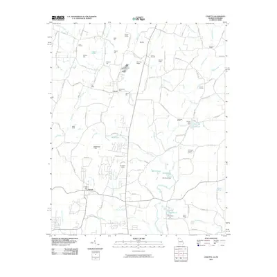
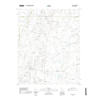
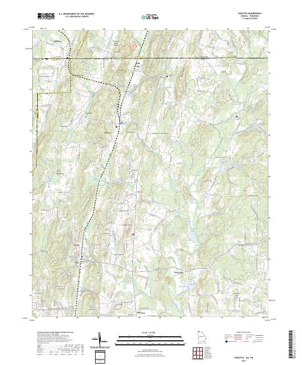 2024 Cohutta2024 Print · USGSThe Georgia-Tennessee borderlands come into focus in this contemporary survey of the valleys surrounding Cohutta and Varnell. Local researchers can trace the rural landscape across Stockburger Ridge to find Prater Mill and the historic Red Clay area.
 - 2024 Map of Dalton North, 2024 Print
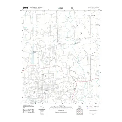
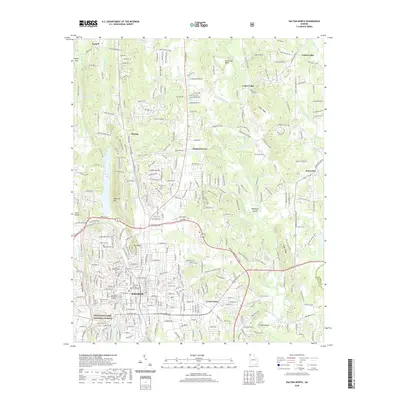
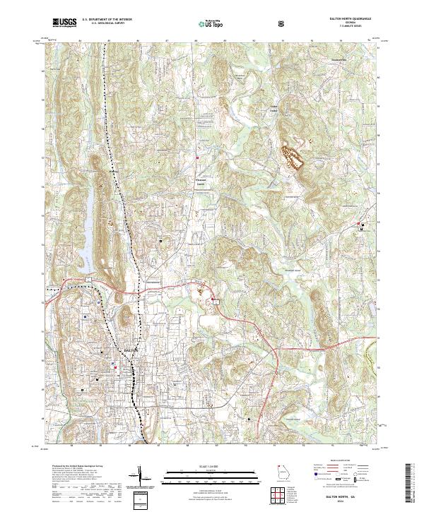 2024 Dalton North2024 Print · USGSThe foothills of the Georgia mountains come alive in this survey of the region’s growing urban and rural corridors. Researchers can trace family history through numerous landmarks including the Old Presbyterian Cem, Ft Hill, and the Whitfield County Courthouse.
End of results
Showing maps 1-24 of 24
Top cities near Varnell
- Chattanooga historical maps
- Cleveland historical maps
- Dalton historical maps
- East Ridge historical maps
- Collegedale historical maps
- Chatsworth historical maps
See more
Top neighborhoods of Varnell
Frequently asked questions
- What are the different types of historical maps available for Varnell?
- What is the oldest map of Varnell?
- Where can I purchase historical maps of Varnell for my home or office?
- Where can I download high-res historical maps of Varnell?
- Are there historical topographic maps available for Varnell?
- Is there historical aerial imagery available for Varnell?
- Where are historical maps of Varnell sourced from?