Old Maps of Abbeville, Georgia for Metal Detecting
Plan your next treasure hunt with 22 historic maps of Abbeville. Find old homesites, ghost towns, trails, and gathering spots that may be lost to time — perfect for identifying promising metal detecting locations.
- Locate forgotten sites: Uncover places like long-lost settlements, abandoned rail lines, or gathering spots.
- Plan better hunts: Use map overlays combined with LiDAR or satellite views to narrow in on historically rich areas.
- Made for detectorists: Thousands of hobbyists use these maps to discover relics, coins, and hidden history.
Use these historic maps to boost your research and find new opportunities beneath the surface of Abbeville.
Abbeville, GA maps
(22)- 1953 Map of Waycross, 1967 Print
 1953 Waycross1967 Print · USGSSouth Georgia's agricultural and rail heartland is captured here in the mid-1950s, showing a vast network of timber and farming towns. Researchers can trace the rail lines connecting Waycross and Tifton or locate landmarks like Jefferson Davis State Park and Lake Blackshear.2 unique versions available
 - 1957 Map of Macon
 1957 Macon1957 Print · USGSMid-century Georgia comes into focus as the river-and-rail economy shifts toward a new era of aviation and highway travel. Trace family roots and vanished landmarks across the Ocmulgee River valley from Macon to the onion fields of Vidalia.
 - 1958 Map of Macon
 1958 Macon1958 Print · USGSMiddle Georgia during the late fifties shows the post-war expansion of Warner Robins alongside the deep-rooted rail hubs of the Central of Georgia line. Researchers can trace the river-bound boundaries of numerous counties and find local landmarks like Veterans Memorial Hospital and Robins AFB.
 - 1958 Map of Waycross
 1958 Waycross1958 Print · USGSSoutheast Georgia in the late fifties remains a landscape of deep river basins and vital rail junctions. Genealogists and historians can trace family-named landmarks and rural hubs like Union Church, South Georgia College, and the sprawling Okefenokee Swamp.2 unique versions available
 - 1964 Map of Macon
 1964 Macon1964 Print · USGSCentral Georgia in the mid-sixties is defined by its major river valleys and a booming military presence. Genealogists and historians can trace the growth of Warner Robins near Robins AFB or locate smaller rural junctions like Allentown and Jeffersonville along the historic Southern railroad lines.2 unique versions available
 - 1972 Map of Abbeville North, 1975 Print
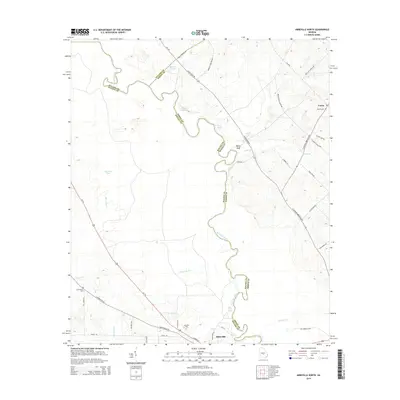
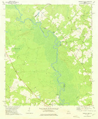 1972 Abbeville North1975 Print · USGSWilcox and Dodge counties are captured here in the early seventies, centered on the winding corridor of the Ocmulgee River. Local researchers can trace rural church locations and family sites such as Daniels Millpond, Springfield Ch, and Mitchell Cem.
 - 1974 Map of Abbeville South, 1977 Print
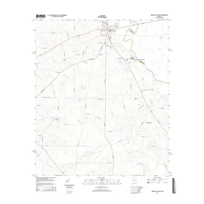
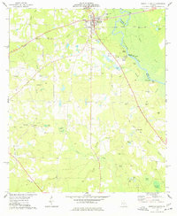 1974 Abbeville South1977 Print · USGSWilcox County in the mid-1970s centers on the riverfront town of Abbeville and the serpentine Ocmulgee River. Genealogists and local researchers can trace numerous family burial sites and rural landmarks, from Stubbs Cem to the old railroad grade near Browning.
 - 1977 Map of Hawkinsville
 1977 Hawkinsville1977 Print · USGSSouth Georgia’s agricultural and rail heartland is meticulously documented during the late seventies. Researchers can trace family ties and transit routes through old depots and towns like Unadilla, Pineview, and Hawkinsville along the Ocmulgee River.
 - 1978 Map of Hawkinsville, 1979 Print
 1978 Hawkinsville1979 Print · USGSMiddle Georgia's agricultural and rail heartland is captured here in the late seventies, showing the vital connections between the Ocmulgee River and the rural plains. Genealogists and historians can trace family locations near Vienna, Hawkinsville, or along the tracks of the Southern railroad.
 - 1981 Map of Cordele, 1982 Print
 1981 Cordele1982 Print · USGSSouth Georgia’s agricultural heartland is documented here in the early eighties, showing the convergence of the Seaboard Coast Line Railroad and the Georgia Southern and Florida lines. Genealogists and researchers can trace local landmarks like Bowens Mill Pond, the University of Georgia Research Center, and the shores of Lake Blackshear.
 - 1988 Map of Waycross
 1988 Waycross1988 Print · USGSSouth Georgia's wiregrass and timber country is documented here in the late eighties, centered on the vital rail junction of Waycross. Genealogists and historians can trace the rural landscape from Okefenokee up to the Ocmulgee, finding sites like Lumber City and Jefferson Davis Memorial State Park.
 - 1988 Map of Macon, 1989 Print
 1988 Macon1989 Print · USGSCentral Georgia is captured during the late eighties, showing the expansive river systems and growing urban hubs of the regional interior. Genealogists and historians can trace the paths of the Central of Georgia Railroad and locate communities like Warner Robbins, Dublin, and Sandersville.
 - 2011 Map of Abbeville North, 2011 Print
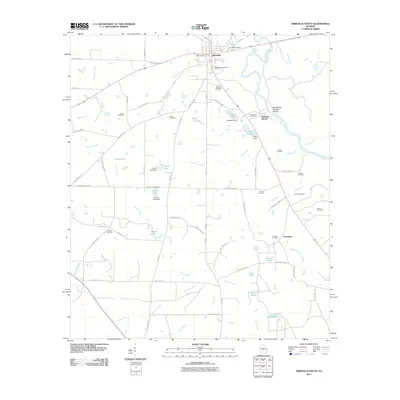
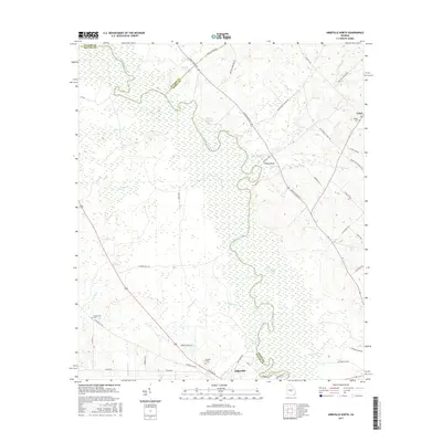
 2011 Abbeville North2011 Print · USGSCovers Abbeville, including Union, Dodge County, and other nearby areas
 - 2011 Map of Abbeville South, 2011 Print
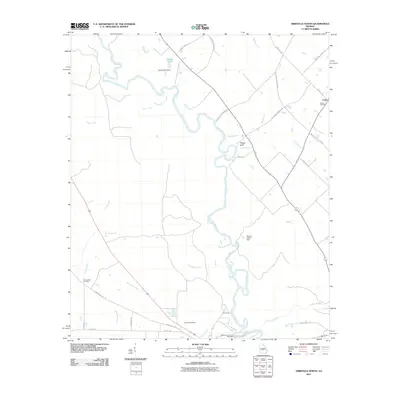
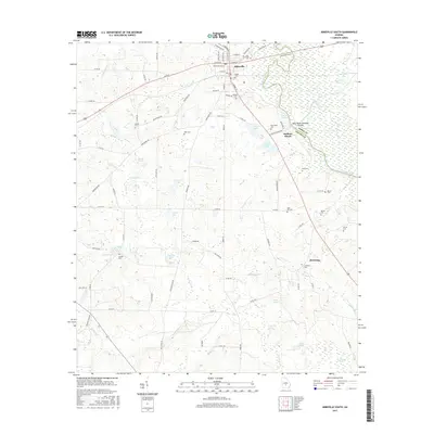
 2011 Abbeville South2011 Print · USGSCovers Abbeville, including Browning, Statham Shoals, and other nearby areas
 - 2014 Map of Abbeville North, 2014 Print
 2014 Abbeville North2014 Print · USGSCovers Abbeville, including Union, Dodge County, and other nearby areas
 - 2014 Map of Abbeville South, 2014 Print
 2014 Abbeville South2014 Print · USGSCovers Abbeville, including Browning, Statham Shoals, and other nearby areas
 - 2017 Map of Abbeville South, 2017 Print
 2017 Abbeville South2017 Print · USGSCovers Abbeville, including Browning, Statham Shoals, and other nearby areas
 - 2017 Map of Abbeville North, 2017 Print
 2017 Abbeville North2017 Print · USGSCovers Abbeville, including Union, Dodge County, and other nearby areas
 - 2020 Map of Abbeville South, 2020 Print
 2020 Abbeville South2020 Print · USGSCovers Abbeville, including Browning, Statham Shoals, and other nearby areas
 - 2020 Map of Abbeville North, 2020 Print
 2020 Abbeville North2020 Print · USGSCovers Abbeville, including Union, Dodge County, and other nearby areas
 - 2024 Map of Abbeville South, 2024 Print
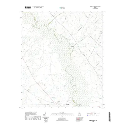
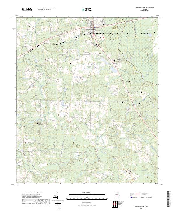 2024 Abbeville South2024 Print · USGSAbbeville and the Ocmulgee River lowlands are captured in this recent survey of Wilcox County. Genealogists and local historians can locate many rural burial sites such as McCall Cem and Stubbs Cem alongside landmarks like the Wilcox County Courthouse.
 - 2024 Map of Abbeville North, 2024 Print
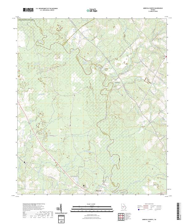 2024 Abbeville North2024 Print · USGSWilcox County and its neighboring borderlands appear here in recent detail, centered on the Ocmulgee River corridor north of the city. Genealogists and local historians can trace rural roads to landmarks like Mitchell Family Cem, Daniels Millpond, and Poor Robin Spring.
End of results
Showing maps 1-22 of 22
Top cities near Abbeville
- Eastman historical maps
- Rochelle historical maps
- Pineview historical maps
- Rhine historical maps
- Rebecca historical maps
Frequently asked questions
- What are the different types of historical maps available for Abbeville?
- What is the oldest map of Abbeville?
- Where can I purchase historical maps of Abbeville for my home or office?
- Where can I download high-res historical maps of Abbeville?
- Are there historical topographic maps available for Abbeville?
- Is there historical aerial imagery available for Abbeville?
- Where are historical maps of Abbeville sourced from?