Old Maps of Edgars, Georgia
Explore 13 old maps of Edgars, spanning from 1916 to today. These high-resolution historic maps reveal how streets, neighborhoods, landmarks, and natural features evolved over time — perfect for genealogy, metal detecting, research, and local history exploration.
What you can do with these maps:
- See how Edgars changed over time: Compare historical maps to modern-day views to trace roads, homesites, rail lines & more.
- View detailed metadata: Each map includes creators, publishers, year, scale, and archive source.
- Overlay maps with satellite & LiDAR: Visualize the past alongside modern tools to explore terrain & human change.
- Trusted historical sources: Maps sourced from the USGS, Library of Congress, and other archives.
- Access maps your way: View online, download high-res files, or order prints for personal or research use.
Start exploring old maps of Edgars to uncover forgotten places, hidden landmarks, and the deep history beneath your feet.
Edgars, GA maps
(13)- 1916 Map of Irwinton, 1963 Print
 1916 Irwinton1963 Print · USGSWilkinson County is captured here in the years before the Great War, showing a network of rural settlements connected by the Central of Georgia railroad. Genealogists can trace family landmarks and community centers like Goldens Mill, Hazelino School, and Toomsboro.2 unique versions available
 - 1920 Map of Irwinton
 1920 Irwinton1920 Print · USGSWilkinson County in the years following the Great War reveals a landscape of scattered rural hamlets and river-bottom agriculture. Researchers can trace the lineage of local landmarks like Goldens Mill, Myrtle Spring Church, and the winding Oconee River corridor.2 unique versions available
 - 1957 Map of Macon
 1957 Macon1957 Print · USGSMid-century Georgia comes into focus as the river-and-rail economy shifts toward a new era of aviation and highway travel. Trace family roots and vanished landmarks across the Ocmulgee River valley from Macon to the onion fields of Vidalia.
 - 1958 Map of Macon
 1958 Macon1958 Print · USGSMiddle Georgia during the late fifties shows the post-war expansion of Warner Robins alongside the deep-rooted rail hubs of the Central of Georgia line. Researchers can trace the river-bound boundaries of numerous counties and find local landmarks like Veterans Memorial Hospital and Robins AFB.
 - 1964 Map of Macon
 1964 Macon1964 Print · USGSCentral Georgia in the mid-sixties is defined by its major river valleys and a booming military presence. Genealogists and historians can trace the growth of Warner Robins near Robins AFB or locate smaller rural junctions like Allentown and Jeffersonville along the historic Southern railroad lines.2 unique versions available
 - 1973 Map of Irwinton, 1977 Print
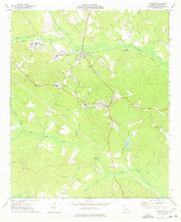 1973 Irwinton1977 Print · USGSWilkinson County in the early seventies shows a landscape shaped by clay mining and the Central of Georgia rail line. Genealogists can locate rural landmarks like Sacred Heart Ch, Walters Cem, and the County High Sch near Irwinton.2 unique versions available
 - 1978 Map of Macon, 1980 Print
 1978 Macon1980 Print · USGSCentral Georgia during the late seventies reveals a landscape shaped by military expansion and clay mining. Genealogists and local historians can trace the development of Warner Robins, the grounds of Wesleyan College, and the rural surroundings of Griswoldville.2 unique versions available
 - 1988 Map of Macon, 1989 Print
 1988 Macon1989 Print · USGSCentral Georgia is captured during the late eighties, showing the expansive river systems and growing urban hubs of the regional interior. Genealogists and historians can trace the paths of the Central of Georgia Railroad and locate communities like Warner Robbins, Dublin, and Sandersville.
 - 2011 Map of Irwinton, 2011 Print
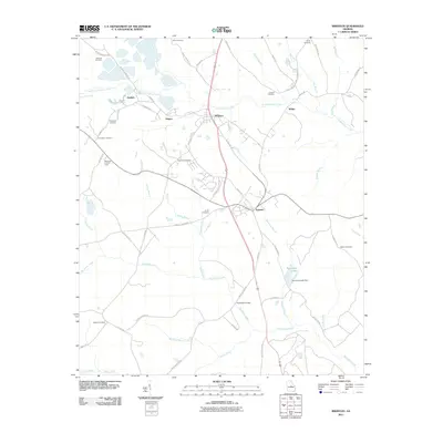 2011 Irwinton2011 Print · USGSWilkinson County as it appeared in the early 2010s reveals a landscape defined by traditional settlements and family-named landmarks. Genealogists and local historians can trace legacy sites like Holliman Cemetery, Wilkinson Lookout Tower, and the community of McIntyre.
 - 2014 Map of Irwinton, 2014 Print
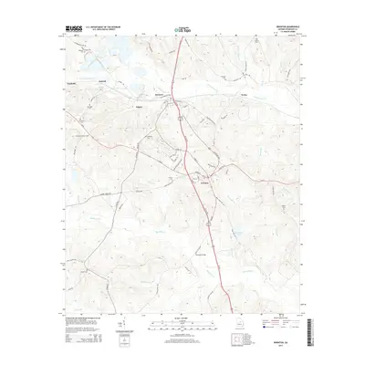 2014 Irwinton2014 Print · USGSWilkinson County as it appeared in 2014 shows the community of Irwinton at the junction of local roads and the modern bypass. Researchers can trace family history through numerous burial sites like Bethel Cem and Walters Cem while following the Norfolk Southern rail line.
 - 2017 Map of Irwinton, 2017 Print
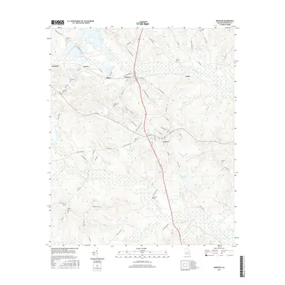 2017 Irwinton2017 Print · USGSWilkinson County is captured here in the late twenty-tens, showing the established communities and rural cemeteries of central Georgia. Genealogists and local historians can trace family locations near Liberty Cem, McIntyre, and the waters of Bearcamp Lake.
 - 2020 Map of Irwinton, 2020 Print
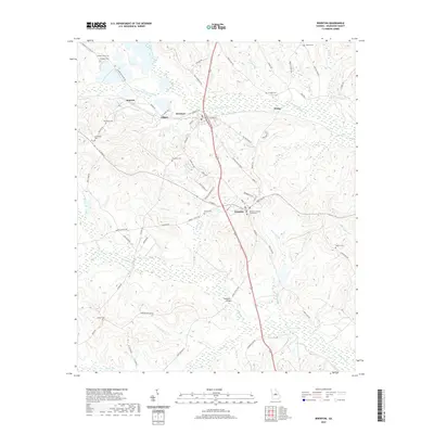 2020 Irwinton2020 Print · USGSWilkinson County at the start of the 2020s remains centered on its historic seat at Irwinton and the rail corridors of McIntyre. Genealogists can trace family landmarks and burial sites across the landscape, from Holliman Cem to the Wilkinson County Courthouse.
 - 2024 Map of Irwinton, 2024 Print
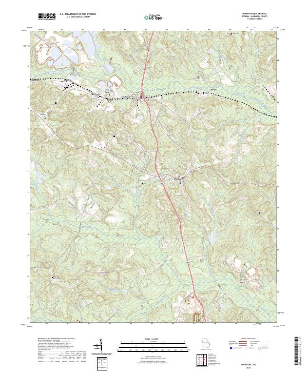 2024 Irwinton2024 Print · USGSWilkinson County’s interior reveals a landscape of family lands and creek-side settlements in the modern day. Genealogists can trace deep roots through family landmarks like Holder Family Cem, Brundage Mount Cem, and the community at McIntyre.
End of results
Showing maps 1-13 of 13
Top cities near Edgars
- Milledgeville historical maps
- Hardwick historical maps
- Gordon historical maps
- Jeffersonville historical maps
- Ivey historical maps
- McIntyre historical maps
See more
Frequently asked questions
- What are the different types of historical maps available for Edgars?
- What is the oldest map of Edgars?
- Where can I purchase historical maps of Edgars for my home or office?
- Where can I download high-res historical maps of Edgars?
- Are there historical topographic maps available for Edgars?
- Is there historical aerial imagery available for Edgars?
- Where are historical maps of Edgars sourced from?