Old Maps of Holualoa, Hawaii for Metal Detecting
Plan your next treasure hunt with 25 historic maps of Holualoa. Find old homesites, ghost towns, trails, and gathering spots that may be lost to time — perfect for identifying promising metal detecting locations.
- Locate forgotten sites: Uncover places like long-lost settlements, abandoned rail lines, or gathering spots.
- Plan better hunts: Use map overlays combined with LiDAR or satellite views to narrow in on historically rich areas.
- Made for detectorists: Thousands of hobbyists use these maps to discover relics, coins, and hidden history.
Use these historic maps to boost your research and find new opportunities beneath the surface of Holualoa.
Holualoa, HI maps
(25)- 1928 Map of Kailua
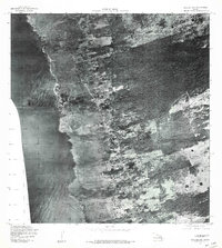
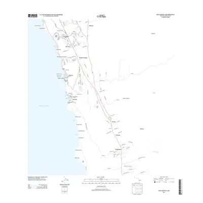
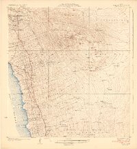 1928 Kailua1928 Print · USGSThe West Hawaii coast and the heights of Puu Hualalei come into focus in the late 1920s. Genealogists and historians can trace family land in the Kealakehe Homesteads or locate cultural landmarks like Ahuena Heiau and the Kona Mill.3 unique versions available
 - 1954 Map of Hawaii North
 1954 Hawaii North1954 Print · USGSThe Big Island in the mid-fifties shows a landscape of active volcanic history and a peak sugar-mill economy. Trace the route of the Hawaii Consolidated Railway, locate the Olaa Plantation Mill, and see the extent of the Lava flow of 1881 near Hilo.
 - 1959 Map of Hawaii North
 1959 Hawaii North1959 Print · USGSThe northern half of Hawaii Island in the late fifties shows a landscape shaped by historic volcanic activity and a thriving sugar and ranching economy. Researchers can trace historic lava flows alongside local landmarks like Upolu Point Airport, Huehue Ranch, and the Pacific Sugar Mill.
 - 1959 Map of Hualalai, 1960 Print
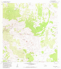
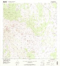
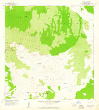 1959 Hualalai1960 Print · USGSNorth Kona's volcanic slopes are captured here in the late fifties, showing the interplay between historic land divisions and the island's terrain. Researchers can locate remote sites like the Ahu a Umi Heiau, follow the Judd Trail, and trace the massive Lava Flow of 1859.2 unique versions available
 - 1959 Map of Kailua, 1961 Print
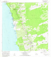
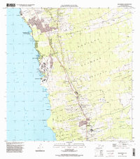
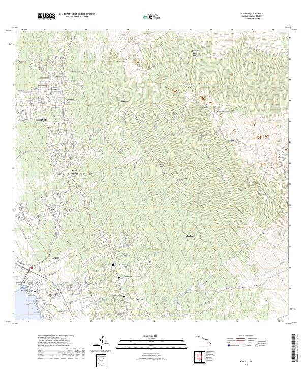
 1959 Kailua1961 Print · USGSThe North Kona coast was undergoing significant settlement shifts in the late fifties as homesteads climbed the volcanic slopes. Trace family history and land boundaries through the Kalaoa Homesteads, Honokohau School, and the Holualoa Makai Camp.3 unique versions available
 - 1960 Map of Kealakekua, 1972 Print
 1960 Kealakekua1972 Print · USGSCoastal Kona in the early sixties remains a place of deep heritage, where ancient landmarks and modern infrastructure coexist along the shoreline. Trace the historic Judd Trail or locate mid-century sites like the Kona Hospital and the Burial Ground for Kuamoo Battle Warriors.2 unique versions available
 - 1961 Map of Hawaii North
 1961 Hawaii North1961 Print · USGSThe Big Island's northern reaches are shown here in the early sixties, during the peak of the sugar era and before modern resort development. Researchers can trace the Hawaii Consolidated railroad, locate the Ahu a Umi Heiau Ruins, and explore sugar industry landmarks like the Pacific Sugar Mill.2 unique versions available
 - 1975 Map of Hawaii, 1977 Print
 1975 Hawaii1977 Print · USGSThe Big Island in the mid-seventies is captured here as a landscape of volcanic giants and coastal sugar communities. Genealogists and historians can locate former plantation sites like Pepeekeo Mill or trace the routes of the Mamalahoa Highway through Kamuela.
 - 1977 Map of Kealakekua, 1981 Print
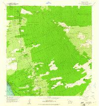
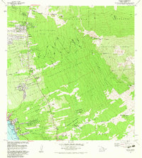
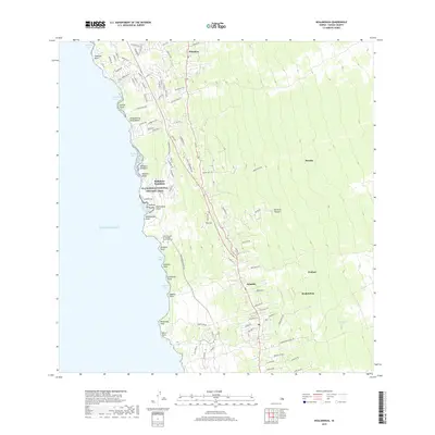
 1977 Kealakekua1981 Print · USGSThe Kona Coast comes into focus in the late seventies through this detailed aerial survey of West Hawaii. Genealogists and researchers can trace the exact footprint of settlements like Kealakekua, Holualoa, and Keauhou amidst the upland farms.
 - 1980 Map of Hawaii County Sheet 1, 1984 Print
 1980 Hawaii County Sheet 11984 Print · USGSThe Big Island's diverse terrain and transition into the 1980s are shown here, from the northern coast to the high mountain saddles. Genealogists and historians can trace homesteads and local roads near Kailua, Kukuihaele, and the Ahualoa area.
 - 1982 Map of Kealakekua
 1982 Kealakekua1982 Print · USGSThe Kona coast of Hawaii Island in the early eighties reveals a unique mix of ancient Hawaiian sites and modern mountain communities. Trace historic land divisions and find landmarks like the Kamehameha Birthplace, Konawaena High School, and Kona Hospital.2 unique versions available
 - 1982 Map of Hualalai
 1982 Hualalai1982 Print · USGSHigh on the slopes of North Kona during the early eighties, this survey captures a landscape defined by volcanic history and ancient sites. Genealogists and historians can trace the Judd Trail and locate the historic Ahu a Umi Heiau and Hale Pili among the cinder cones.2 unique versions available
 - 1982 Map of Kailua, 1983 Print
 1982 Kailua1983 Print · USGSThe Kona coast in the early eighties shows the expansion of Kailua and its surrounding homesteads into the upland forests. Researchers can trace land divisions from Kailua-Kona PO to rural landmarks like Palani Junction and Honokohau School.
 - 1993 Map of Hualalai, 2000 Print
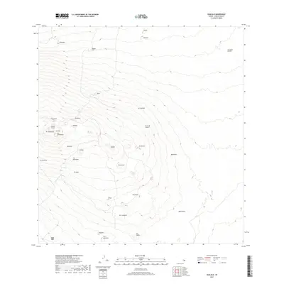
 1993 Hualalai2000 Print · USGSThis high-elevation survey of the Big Island captures the volcanic landscape and conservation lands during the 1990s. Researchers can trace historic footpaths like the Judd Trail and Pihapono Trail or locate remote landmarks like Shangri-la and Hainoa Crater.
 - 1996 Map of Kailua, 1998 Print
 1996 Kailua1998 Print · USGSThe North Kona coast and the volcanic slopes of Hualalai are captured in the late twentieth century as residential homesteads began to climb the mountain. Genealogists and researchers can trace local landmarks like Keopu Cemetery, Palani Junction, and the Holualoa Mauka Camp.
 - 1996 Map of Kealakekua, 1998 Print
 1996 Kealakekua1998 Print · USGSThe Kona coast and its agricultural uplands are captured here in the mid-nineties, showing the mix of ancient land divisions and modern development. Researchers can trace the historic Judd Trail, locate coastal landmarks like Keolonahihi State Historical Park, and explore the layout of Kealakekua.
 - 2013 Map of Hualalai, 2013 Print
 2013 Hualalai2013 Print · USGSCovers Holualoa, including Honalo, Kailua, and other nearby areas
 - 2013 Map of Kailua, 2013 Print
 2013 Kailua2013 Print · USGSCovers Holualoa, including Honalo, Kailua, and other nearby areas
 - 2013 Map of Kealakekua, 2013 Print
 2013 Kealakekua2013 Print · USGSCovers Holualoa, including Honalo, Kailua, and other nearby areas
 - 2017 Map of Kealakekua, 2017 Print
 2017 Kealakekua2017 Print · USGSCovers Holualoa, including Honalo, Kailua, and other nearby areas
 - 2017 Map of Hualalai, 2017 Print
 2017 Hualalai2017 Print · USGSCovers Holualoa, including Honalo, Kailua, and other nearby areas
 - 2017 Map of Kailua, 2017 Print
 2017 Kailua2017 Print · USGSCovers Holualoa, including Honalo, Kailua, and other nearby areas
 - 2024 Map of Kealakekua, 2024 Print
 2024 Kealakekua2024 Print · USGSThe Kona coast comes into focus in this contemporary survey of its residential corridors and sacred sites. Genealogists can trace family heritage at the Kona Daifukuji Soto Mission Cem, Lekeleke Burial Grounds, and the Kona Courthouse Keakealani Building.
 - 2024 Map of Kailua, 2024 Print
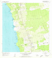
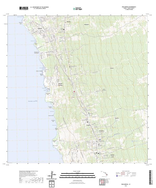
 2024 Kailua2024 Print · USGSThe West Hawai'i coast comes alive in this current topographic view, showing the steep ascent from the shoreline to the slopes of Hualālai. Genealogists and historians can trace old community foundations at Mokuaikaua Church Cem and Kalaoa.
 - 2024 Map of Hualalai, 2024 Print
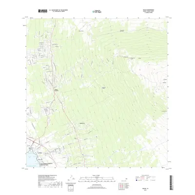
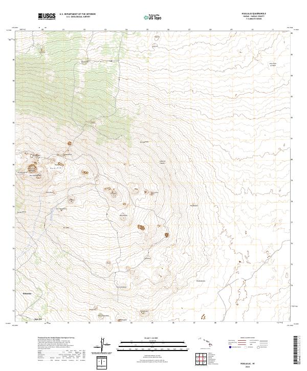 2024 Hualalai2024 Print · USGSThe volcanic slopes of the Big Island are documented here in the early twenty-first century, showing the settlement of Holualoa and the high peaks of Hualālai. Genealogists and researchers can trace traditional land names and features like the Lava Flow of 1859 and Hainoa Crater.
End of results
Showing maps 1-25 of 25
Top neighborhoods of Holualoa
- Pualani Estates historical maps
- Hōlualoa historical maps
- Komohana Kai historical maps
- Sea View historical maps
- Alii Kai historical maps
Frequently asked questions
- What are the different types of historical maps available for Holualoa?
- What is the oldest map of Holualoa?
- Where can I purchase historical maps of Holualoa for my home or office?
- Where can I download high-res historical maps of Holualoa?
- Are there historical topographic maps available for Holualoa?
- Is there historical aerial imagery available for Holualoa?
- Where are historical maps of Holualoa sourced from?