Old Maps of Kalani Estates, Hawaii
Explore 12 old maps of Kalani Estates, spanning from 1928 to today. These high-resolution historic maps reveal how streets, neighborhoods, landmarks, and natural features evolved over time — perfect for genealogy, metal detecting, research, and local history exploration.
What you can do with these maps:
- See how Kalani Estates changed over time: Compare historical maps to modern-day views to trace roads, homesites, rail lines & more.
- View detailed metadata: Each map includes creators, publishers, year, scale, and archive source.
- Overlay maps with satellite & LiDAR: Visualize the past alongside modern tools to explore terrain & human change.
- Trusted historical sources: Maps sourced from the USGS, Library of Congress, and other archives.
- Access maps your way: View online, download high-res files, or order prints for personal or research use.
Start exploring old maps of Kalani Estates to uncover forgotten places, hidden landmarks, and the deep history beneath your feet.
Kalani Estates, HI maps
(12)- 1928 Map of Puako
 1928 Puako1928 Print · USGSThe West Hawaii coast in the late twenties reveals a landscape shaped by volcanic activity and ranching. Trace the paths of the Lava Flow of 1859 and Lava Flow of 1801 as they reach the sea near Puako and Kiholo.2 unique versions available
 - 1954 Map of Hawaii North
 1954 Hawaii North1954 Print · USGSThe Big Island in the mid-fifties shows a landscape of active volcanic history and a peak sugar-mill economy. Trace the route of the Hawaii Consolidated Railway, locate the Olaa Plantation Mill, and see the extent of the Lava flow of 1881 near Hilo.
 - 1956 Map of Puu Hinai, 1957 Print
 1956 Puu Hinai1957 Print · USGSThe West Hawaii coast appears in this mid-century survey before the era of modern resorts and major highways. Trace ancestral landmarks and early coastal access at Lahuipuaa, the Papakonani Boat Landing, and traditional sites like the Manoku Fishpond.3 unique versions available
 - 1959 Map of Hawaii North
 1959 Hawaii North1959 Print · USGSThe northern half of Hawaii Island in the late fifties shows a landscape shaped by historic volcanic activity and a thriving sugar and ranching economy. Researchers can trace historic lava flows alongside local landmarks like Upolu Point Airport, Huehue Ranch, and the Pacific Sugar Mill.
 - 1961 Map of Hawaii North
 1961 Hawaii North1961 Print · USGSThe Big Island's northern reaches are shown here in the early sixties, during the peak of the sugar era and before modern resort development. Researchers can trace the Hawaii Consolidated railroad, locate the Ahu a Umi Heiau Ruins, and explore sugar industry landmarks like the Pacific Sugar Mill.2 unique versions available
 - 1975 Map of Hawaii, 1977 Print
 1975 Hawaii1977 Print · USGSThe Big Island in the mid-seventies is captured here as a landscape of volcanic giants and coastal sugar communities. Genealogists and historians can locate former plantation sites like Pepeekeo Mill or trace the routes of the Mamalahoa Highway through Kamuela.
 - 1980 Map of Hawaii County Sheet 1, 1984 Print
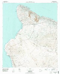 1980 Hawaii County Sheet 11984 Print · USGSThe Big Island's diverse terrain and transition into the 1980s are shown here, from the northern coast to the high mountain saddles. Genealogists and historians can trace homesteads and local roads near Kailua, Kukuihaele, and the Ahualoa area.
 - 1982 Map of Puu Hinai
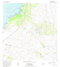 1982 Puu Hinai1982 Print · USGSThe South Kohala coast comes into focus in the early 1980s, showcasing a landscape defined by massive volcanic deposits and ancient aquaculture. Historians can trace the locations of traditional Waipuhi and Hopeaia Fishponds alongside the emerging community of Waikoloa.
 - 1997 Map of Puu Hinai, 1998 Print
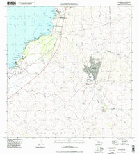 1997 Puu Hinai1998 Print · USGSThe South Kohala coast in the late nineties showcases a landscape of recent development and ancient volcanic flows. Trace the historic Kings Highway past coastal landmarks like the Lahuipuaa Fishpond and the Hapuna Beach State Recreation Area.
 - 2013 Map of Puu Hinai, 2013 Print
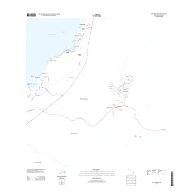 2013 Puu Hinai2013 Print · USGSThe Kohala Coast and inland slopes of the Big Island are shown here as they developed in the early 2000s. Trace the intersection of modern life and heritage through the Waikoloa street grid, ancient structures like Manoku Fishpond, and the massive Lava Flow of 1859.
 - 2017 Map of Puu Hinai, 2017 Print
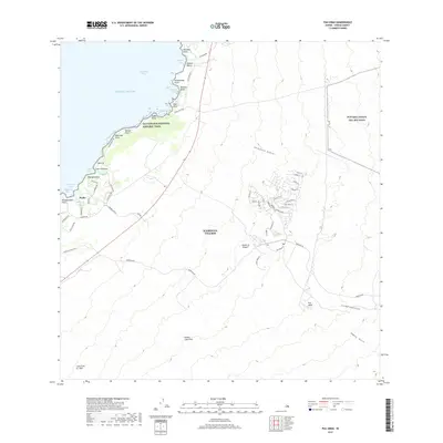 2017 Puu Hinai2017 Print · USGSThe South Kohala coast of the Island of Hawai'i comes into focus in this recent survey of volcanic shorelines and growing communities. Trace the ancient Ala Kahakai National Historic Trail as it passes the Keanapou Fishpond and the sprawling Waikoloa Village.
 - 2024 Map of Puu Hinai, 2024 Print
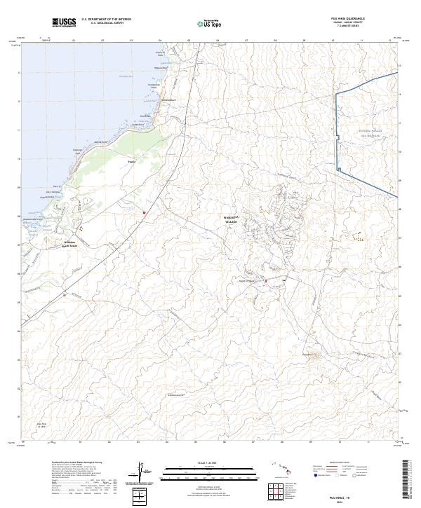 2024 Puu Hinai2024 Print · USGSThe Kohala Coast is shown in its contemporary blend of luxury resorts and ancient shoreline sites. Trace the path of the Lava Flow of 1859 toward the sea or locate traditional sites like Waipuhi Fishpond and the Ala Kahakai Trail.
End of results
Showing maps 1-12 of 12
Frequently asked questions
- What are the different types of historical maps available for Kalani Estates?
- What is the oldest map of Kalani Estates?
- Where can I purchase historical maps of Kalani Estates for my home or office?
- Where can I download high-res historical maps of Kalani Estates?
- Are there historical topographic maps available for Kalani Estates?
- Is there historical aerial imagery available for Kalani Estates?
- Where are historical maps of Kalani Estates sourced from?