Old Maps of Nanawale Farm/Ranch Lots, Hawaii
Explore 23 old maps of Nanawale Farm/Ranch Lots, spanning from 1924 to today. These high-resolution historic maps reveal how streets, neighborhoods, landmarks, and natural features evolved over time — perfect for genealogy, metal detecting, research, and local history exploration.
What you can do with these maps:
- See how Nanawale Farm/Ranch Lots changed over time: Compare historical maps to modern-day views to trace roads, homesites, rail lines & more.
- View detailed metadata: Each map includes creators, publishers, year, scale, and archive source.
- Overlay maps with satellite & LiDAR: Visualize the past alongside modern tools to explore terrain & human change.
- Trusted historical sources: Maps sourced from the USGS, Library of Congress, and other archives.
- Access maps your way: View online, download high-res files, or order prints for personal or research use.
Start exploring old maps of Nanawale Farm/Ranch Lots to uncover forgotten places, hidden landmarks, and the deep history beneath your feet.
Nanawale Farm/Ranch Lots, HI maps
(23)- 1924 Map of Makuu
 1924 Makuu1924 Print · USGSThe Puna coastline in the early twentieth century was a landscape of rail-linked plantations and volcanic terrain. You can trace the Hawaii Consolidated Railway as it services Honolulu Landing and the Nanawale Homesteads near the Lava Flow of 1840.3 unique versions available
 - 1924 Map of Kalapana
 1924 Kalapana1924 Print · USGSThe Puna coastline comes to life in the early twenties, showing a landscape of volcanic craters and early homesteading tracts. Genealogists and historians can locate family lands like the Kaniahiku Homesteads or trace the Consolidated Hawaii Railway to the village of Pahoa.4 unique versions available
 - 1954 Map of Hawaii South
 1954 Hawaii South1954 Print · USGSThe southern reaches of the Big Island in the mid-fifties show a landscape of volcanic peaks, coastal villages, and upland timber mills. Researchers can trace the old island infrastructure through sites like Koa Mill, Hoopuloa, and the remote Mountain House.
 - 1954 Map of Hawaii North
 1954 Hawaii North1954 Print · USGSThe Big Island in the mid-fifties shows a landscape of active volcanic history and a peak sugar-mill economy. Trace the route of the Hawaii Consolidated Railway, locate the Olaa Plantation Mill, and see the extent of the Lava flow of 1881 near Hilo.
 - 1959 Map of Hawaii South
 1959 Hawaii South1959 Print · USGSThe southern half of the Big Island appears here in the late fifties, dominated by the active volcanic peaks and extensive forest reserves. Researchers can trace the mid-century footprints of Pahala, Waiohinu, and the agricultural grounds of Gaspard Dairy.
 - 1959 Map of Hawaii North
 1959 Hawaii North1959 Print · USGSThe northern half of Hawaii Island in the late fifties shows a landscape shaped by historic volcanic activity and a thriving sugar and ranching economy. Researchers can trace historic lava flows alongside local landmarks like Upolu Point Airport, Huehue Ranch, and the Pacific Sugar Mill.
 - 1961 Map of Hawaii North
 1961 Hawaii North1961 Print · USGSThe Big Island's northern reaches are shown here in the early sixties, during the peak of the sugar era and before modern resort development. Researchers can trace the Hawaii Consolidated railroad, locate the Ahu a Umi Heiau Ruins, and explore sugar industry landmarks like the Pacific Sugar Mill.2 unique versions available
 - 1961 Map of Hawaii South
 1961 Hawaii South1961 Print · USGSThe southern region of the Big Island appears here in the early sixties, illustrating a landscape of volcanic craters and remote agricultural outposts. Genealogists and historians can trace the locations of Wood Valley Camp, the Koa Mill, and the ruins at Kahio.
 - 1962 Map of Hawaii South
 1962 Hawaii South1962 Print · USGSThe southern half of Hawaii Island in the early sixties showcases a landscape defined by volcanic rifts and coastal settlements. Researchers can trace the Hawaii Consolidated rail line, find the Kuee (Ruined) site, and locate remote camps like Hooper Camp.2 unique versions available
 - 1965 Map of Pahoa North, 1967 Print
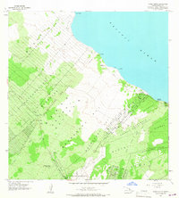 1965 Pahoa North1967 Print · USGSThe Puna coast in the mid-1960s reveals a unique landscape shaped by volcanic history and early homesteading. Researchers can trace the massive Lava Flow 1840, explore the remote Honolulu Landing, and locate the Makuu (Site) along the shore.2 unique versions available
 - 1966 Map of Pahoa South, 1967 Print
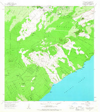 1966 Pahoa South1967 Print · USGSThe Puna District of Hawaii in the mid-sixties shows a landscape transformed by recent volcanic activity. Researchers can trace the massive Lava Flow of 1955 as it moves past Kaniahiku Village and through various Kamaili Homesteads toward the coast.
 - 1975 Map of Hawaii, 1977 Print
 1975 Hawaii1977 Print · USGSThe Big Island in the mid-seventies is captured here as a landscape of volcanic giants and coastal sugar communities. Genealogists and historians can locate former plantation sites like Pepeekeo Mill or trace the routes of the Mamalahoa Highway through Kamuela.
 - 1980 Map of Pahoa South, 1981 Print
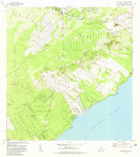 1980 Pahoa South1981 Print · USGSThe Puna District of Hawaii comes into focus during the early eighties, showing a landscape shaped by recent volcanic activity and modern homesteading. Researchers can trace the path of the Lava Flow of 1955 through coastal tracts or locate historic sites like Kaniahiku Village and the Old Railroad Grade.
 - 1980 Map of Hawaii County Sheet 2, 1985 Print
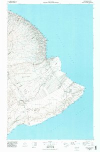 1980 Hawaii County Sheet 21985 Print · USGSThe eastern coast of the Big Island is captured here in the early eighties, showcasing the intersection of active volcanic landforms and historic plantation towns. Researchers can trace family roots through settlements like Laupahoehoe and Papaikou, or explore the road networks around Kilauea Crater and General Lyman Field.
 - 1981 Map of Pahoa North
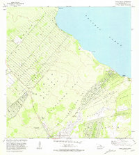 1981 Pahoa North1981 Print · USGSThe Puna coastline and the burgeoning subdivisions north of Pahoa are documented here in the early eighties. Genealogists and historians can locate family holdings in the Nanawale Homesteads or trace the historical site of Makuu and Honolulu Landing.2 unique versions available
 - 1994 Map of Pahoa South, 1998 Print
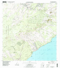 1994 Pahoa South1998 Print · USGSThe Puna coast of the Big Island during the late nineties reveals a landscape of volcanic activity and homestead settlements. Researchers can trace the massive Lava Flow of 1955 as it meets the sea near Opihikao and Kaniahiku Village.
 - 1995 Map of Pahoa North, 2000 Print
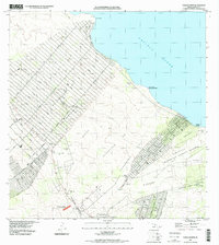 1995 Pahoa North2000 Print · USGSThe Puna coastline in the late nineties shows a landscape defined by expansive residential grids and volcanic history. Researchers can trace the path of the Lava Flow of 1840 and locate coastal landmarks like Honolulu Landing and the Makuu (Site).
 - 2013 Map of Pahoa South, 2013 Print
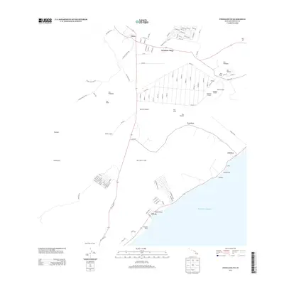 2013 Pahoa South2013 Print · USGSThe Puna coastline and its volcanic interior are captured here in the early twenty-first century as modern subdivisions meet historic eruption zones. Trace the paths of the Lava Flow of 1955 and the Lava Flow of 1750 near Kehena and Pāhoa.
 - 2013 Map of Pahoa North, 2013 Print
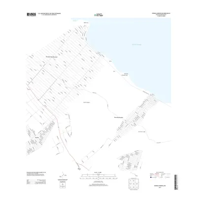 2013 Pahoa North2013 Print · USGSThe Puna coastline is captured in this modern survey as residential grids expand across the volcanic landscape. Trace the massive subdivision of Hawaiian Paradise Park, the historic Lava Flow of 1840, and coastal landmarks like Kaloli Point and Mokuopihi Point.
 - 2017 Map of Pahoa North, 2017 Print
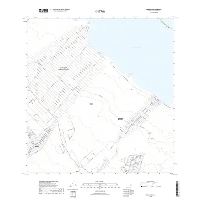 2017 Pahoa North2017 Print · USGSThe Puna coastline comes into focus during this period of residential expansion and volcanic legacy on the Island of Hawaiʻi. Researchers can trace the massive Hawaiian Paradise Park grid and follow the path of the Lava Flow of 1840.
 - 2017 Map of Pahoa South, 2017 Print
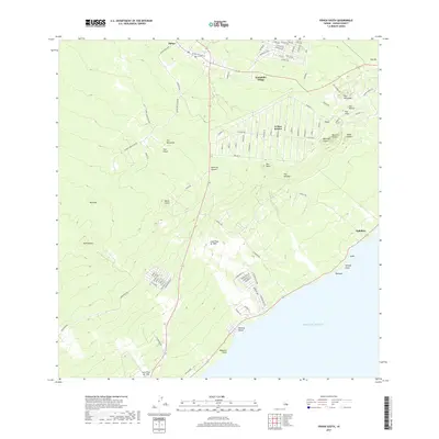 2017 Pahoa South2017 Print · USGSThe Puna coastline and its developing residential grids are captured here just before significant volcanic changes. Trace the layout of Leilani Estates and locate coastal landmarks like Kehena Beach and the historic Lava Flow of 1955.
 - 2024 Map of Pahoa South, 2024 Print
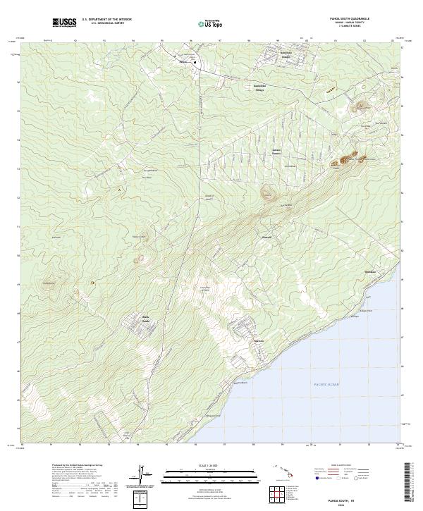 2024 Pahoa South2024 Print · USGSThe Puna District of the Big Island is shown here in the mid-2020s, documenting how communities and volcanic features coexist. Genealogists and researchers can trace local landmarks like Sacred Heart Catholic Church, the Cem in Pahoa, and coastal settlements such as Seaview.
 - 2024 Map of Pahoa North, 2024 Print
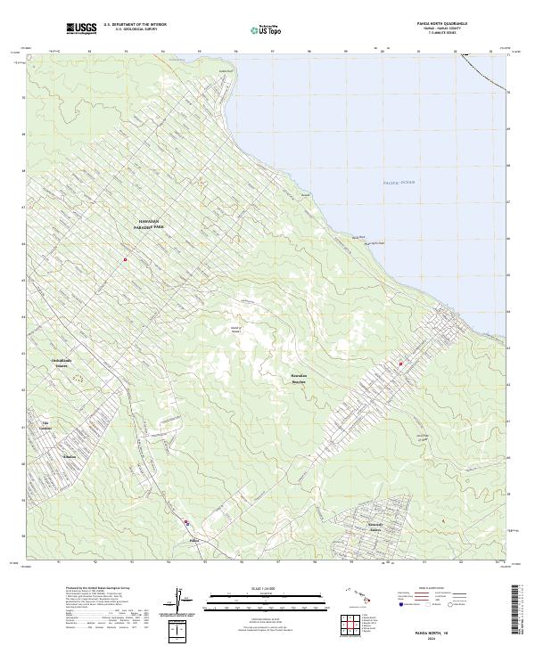 2024 Pahoa North2024 Print · USGSThe Puna District of the Big Island comes into focus in this contemporary survey of its residential subdivisions and volcanic coastline. Researchers can trace modern lot layouts in Hawaiian Paradise Park and locate the historic Lava Flow of 1840.
End of results
Showing maps 1-23 of 23
Frequently asked questions
- What are the different types of historical maps available for Nanawale Farm/Ranch Lots?
- What is the oldest map of Nanawale Farm/Ranch Lots?
- Where can I purchase historical maps of Nanawale Farm/Ranch Lots for my home or office?
- Where can I download high-res historical maps of Nanawale Farm/Ranch Lots?
- Are there historical topographic maps available for Nanawale Farm/Ranch Lots?
- Is there historical aerial imagery available for Nanawale Farm/Ranch Lots?
- Where are historical maps of Nanawale Farm/Ranch Lots sourced from?