Old Maps of Papaloa, Hawaii for Hiking & Exploration
Hike through history with 12 historic maps of Papaloa. Explore old trails, ghost towns, and forgotten backroads — perfect for outdoor adventurers and local explorers.
- Rediscover forgotten places: Map out old mining camps, roads, and footpaths that no longer exist on modern maps.
- Layer with modern tools: Combine with LiDAR or satellite views to plan hikes through historical terrain.
- Made for exploration: Popular among hikers, overlanders, and local history lovers.
Use these maps to find adventure and explore the hidden past of Papaloa.
Papaloa, HI maps
(12)- 1928 Map of Kailua
 1928 Kailua1928 Print · USGSThe West Hawaii coast and the heights of Puu Hualalei come into focus in the late 1920s. Genealogists and historians can trace family land in the Kealakehe Homesteads or locate cultural landmarks like Ahuena Heiau and the Kona Mill.3 unique versions available
 - 1954 Map of Hawaii North
 1954 Hawaii North1954 Print · USGSThe Big Island in the mid-fifties shows a landscape of active volcanic history and a peak sugar-mill economy. Trace the route of the Hawaii Consolidated Railway, locate the Olaa Plantation Mill, and see the extent of the Lava flow of 1881 near Hilo.
 - 1959 Map of Hawaii North
 1959 Hawaii North1959 Print · USGSThe northern half of Hawaii Island in the late fifties shows a landscape shaped by historic volcanic activity and a thriving sugar and ranching economy. Researchers can trace historic lava flows alongside local landmarks like Upolu Point Airport, Huehue Ranch, and the Pacific Sugar Mill.
 - 1959 Map of Puu Lehua, 1960 Print
 1959 Puu Lehua1960 Print · USGSHigh on the slopes of the Kona districts in the late fifties, this survey details the ranching and volcanic landscape. Genealogists can trace family-named sites like Puu Lehua Ranch and Papal Clark alongside remote camps at Pauahi and Monohaa.2 unique versions available
 - 1961 Map of Hawaii North
 1961 Hawaii North1961 Print · USGSThe Big Island's northern reaches are shown here in the early sixties, during the peak of the sugar era and before modern resort development. Researchers can trace the Hawaii Consolidated railroad, locate the Ahu a Umi Heiau Ruins, and explore sugar industry landmarks like the Pacific Sugar Mill.2 unique versions available
 - 1975 Map of Hawaii, 1977 Print
 1975 Hawaii1977 Print · USGSThe Big Island in the mid-seventies is captured here as a landscape of volcanic giants and coastal sugar communities. Genealogists and historians can locate former plantation sites like Pepeekeo Mill or trace the routes of the Mamalahoa Highway through Kamuela.
 - 1980 Map of Hawaii County Sheet 1, 1984 Print
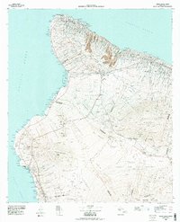 1980 Hawaii County Sheet 11984 Print · USGSThe Big Island's diverse terrain and transition into the 1980s are shown here, from the northern coast to the high mountain saddles. Genealogists and historians can trace homesteads and local roads near Kailua, Kukuihaele, and the Ahualoa area.
 - 1982 Map of Puu Lehua
 1982 Puu Lehua1982 Print · USGSThe high slopes of the Kona Districts are captured here in the early eighties, showing a landscape shaped by lava flows and high-altitude ranching. Genealogists and historians can trace family sites and land use at Puu Lehua Ranch, the Kahelepo House (Site), and the rugged Devil Country.2 unique versions available
 - 1993 Map of Puulehua, 2000 Print
 1993 Puulehua2000 Print · USGSThe ranchlands of Hawaii County are shown in detail during the late twentieth century, before major changes to the Kona interior. Genealogists and researchers can trace historical residences like Kahelepo House and ranching sites such as Pu'ulehua Ranch.
 - 2013 Map of Puulehua, 2013 Print
 2013 Puulehua2013 Print · USGSThe Pu‘ulehua region of the Big Island is shown here in the early twenty-first century, a landscape of ranching and deep volcanic history. Researchers can trace the paths of the Judd Trl and Kaukohoku Trl or locate the Pu‘ulehua Ranch and Kahelepo House.
 - 2017 Map of Puulehua, 2017 Print
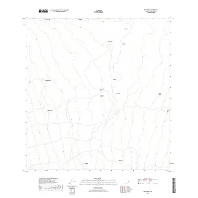 2017 Puulehua2017 Print · USGSThe upland slopes of Hawaii's Kona region were transitioning through modern settlement patterns during this era. Researchers can trace land divisions and local access points through labels like Nenenui Gate, Honey Bee, and Monohaa.
 - 2024 Map of Puulehua, 2024 Print
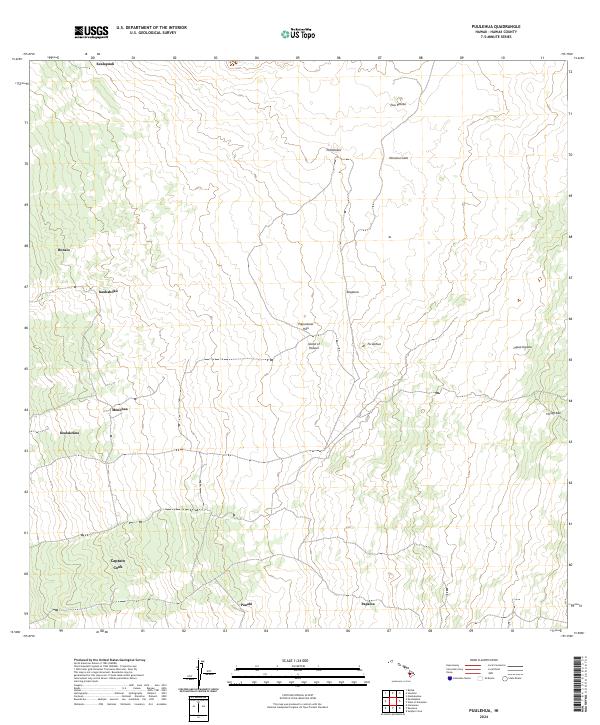 2024 Puulehua2024 Print · USGSThe Kona region of the Big Island is captured in this modern survey, showing the western slopes above the Pacific. Researchers can trace the development of Captain Cook and Kealakekua or locate remote upland features like Nenenui Gate and Lupea Kīpuka.
End of results
Showing maps 1-12 of 12
Frequently asked questions
- What are the different types of historical maps available for Papaloa?
- What is the oldest map of Papaloa?
- Where can I purchase historical maps of Papaloa for my home or office?
- Where can I download high-res historical maps of Papaloa?
- Are there historical topographic maps available for Papaloa?
- Is there historical aerial imagery available for Papaloa?
- Where are historical maps of Papaloa sourced from?