Old Maps of Kamilonui Valley, Honolulu
Explore 13 old maps of Kamilonui Valley, spanning from 1952 to today. These high-resolution historic maps reveal how streets, neighborhoods, landmarks, and natural features evolved over time — perfect for genealogy, metal detecting, research, and local history exploration.
What you can do with these maps:
- See how Kamilonui Valley changed over time: Compare historical maps to modern-day views to trace roads, homesites, rail lines & more.
- View detailed metadata: Each map includes creators, publishers, year, scale, and archive source.
- Overlay maps with satellite & LiDAR: Visualize the past alongside modern tools to explore terrain & human change.
- Trusted historical sources: Maps sourced from the USGS, Library of Congress, and other archives.
- Access maps your way: View online, download high-res files, or order prints for personal or research use.
Start exploring old maps of Kamilonui Valley to uncover forgotten places, hidden landmarks, and the deep history beneath your feet.
Kamilonui Valley, Honolulu maps
(13)- 1952 Map of Koko Head, 1954 Print
 1952 Koko Head1954 Print · USGSSoutheast Oahu's ridgelines and coastal plains are captured here in the early fifties, just as suburban expansion began reaching toward Koko Head. Researchers can trace early residential tracts like Aina Haina and the original footprint of Kuapa Pond or Waimanalo Village.
 - 1954 Map of Oahu
 1954 Oahu1954 Print · USGSMid-century Oahu is caught between its plantation roots and its growing role as a Pacific military hub. Trace the OR and L Co rail lines and explore the 1950s footprints of Pearl Harbor, Libbyville, and Waipahu.
 - 1959 Map of Koko Head, 1960 Print
 1959 Koko Head1960 Print · USGSSoutheastern Oahu in the late fifties shows a landscape of military bases and coastal growth before the major transformation of its ancient fishponds. Trace early neighborhood developments in Aina Haina and Portlock, or locate landmarks like Kuapa Pond and Koko Crater.
 - 1961 Map of Oahu
 1961 Oahu1961 Print · USGSOahu's strategic landscape is captured here during the early statehood era, showing the balance between burgeoning urban centers and massive military installations. Trace the path of the Oahu Railway and Land Co or locate historical sites like Schofield Barracks and Punchbowl Hill.
 - 1965 Map of Oahu
 1965 Oahu1965 Print · USGSOahu in the mid-sixties reveals a landscape defined by significant military installations and growing coastal communities. Researchers can trace the infrastructure of Pearl Harbor, Schofield Barracks, and landmarks like Diamond Head.2 unique versions available
 - 1969 Map of Koko Head, 1971 Print
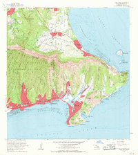 1969 Koko Head1971 Print · USGSSoutheastern Oahu undergoes a period of rapid suburban transformation in the late sixties as new coastal developments take root. Researchers can trace the early footprint of Hawaii Kai, the grounds of the Kawailoa Girls Home, and landmarks like Makapuu Point.
 - 1970 Map of Oahu, 1973 Print
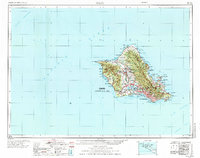 1970 Oahu1973 Print · USGSOahu was entering a new era of suburban and military expansion in the early seventies. Trace the growth of Mililani Town and Pearl City, or locate historic sites like Schofield Barracks and Diamond Head State Monument.2 unique versions available
 - 1978 Map of Koko Head, 1981 Print
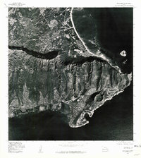 1978 Koko Head1981 Print · USGSSoutheastern Oahu in the late seventies reveals a landscape of rapid suburban growth set against ancient volcanic landmarks. Researchers can trace development patterns around Maunalua Bay and study the terrain of Koko Head and Olomana Peak.
 - 1983 Map of Koko Head
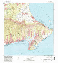 1983 Koko Head1983 Print · USGSSoutheastern Oahu in the early eighties shows a landscape of rapid coastal change and suburban expansion. Researchers can trace the development of Hawaii Kai and locate historical institutions like the Kawailoa Girls Home and Bellows Air Force Station.
 - 1999 Map of Koko Head, 2000 Print
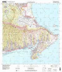 1999 Koko Head2000 Print · USGSSoutheastern O'ahu shows its modern suburban and conservation character at the end of the millennium. Researchers can trace local development around Hawai'i Kai, the engineering of Kuapa Pond, and protected landmarks like Koko Crater.
 - 2013 Map of Koko Head, 2013 Print
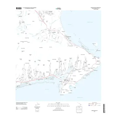 2013 Koko Head2013 Print · USGSSoutheast O'ahu in the early 2010s shows a sophisticated landscape of residential valleys and volcanic landmarks. Researchers can trace the development of Hawai'i Kai around Kuapā Pond or locate coastal features like Makai Pier and Hanauma Bay.
 - 2017 Map of Koko Head, 2017 Print
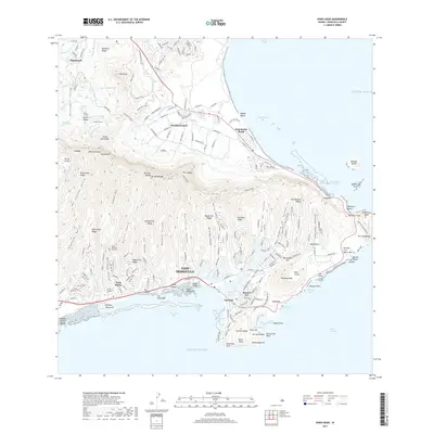 2017 Koko Head2017 Print · USGSEastern O'ahu and the windward coast are shown here in the mid-2010s, illustrating the dense suburban growth between the Ko'olau peaks and the Pacific. Researchers can trace the modern expansion of Hawai'i Kai around Kuapā Pond or the historic water works of Kailua Ditch near Maunawili.
 - 2024 Map of Koko Head, 2024 Print
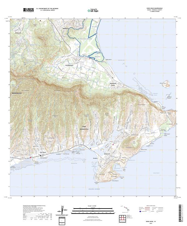 2024 Koko Head2024 Print · USGSSoutheast O'ahu's modern shoreline and ridges appear here during a period of established residential development and preserved coastal landmarks. Researchers can trace local history from the Memorial Garden to the geological features of Hanauma Bay and Ka'au Crater.
End of results
Showing maps 1-13 of 13
Frequently asked questions
- What are the different types of historical maps available for Kamilonui Valley?
- What is the oldest map of Kamilonui Valley?
- Where can I purchase historical maps of Kamilonui Valley for my home or office?
- Where can I download high-res historical maps of Kamilonui Valley?
- Are there historical topographic maps available for Kamilonui Valley?
- Is there historical aerial imagery available for Kamilonui Valley?
- Where are historical maps of Kamilonui Valley sourced from?