Old Maps of Marlow, Heipa District for Genealogy
Trace your family roots with 9 historic maps of Marlow. These high-res maps reveal old neighborhoods, homesites, landmarks, and streets — helping you uncover where your ancestors lived and how the area evolved over time.
- Explore historic neighborhoods: Identify where your relatives may have lived in the 1800s or 1900s.
- Compare maps over time: Trace the changes in streets, buildings, and landmarks for multi-generational research.
- Perfect for genealogy & ancestry research: Used by family historians and researchers to map out lineage and migration.
These maps are an incredible resource for exploring your personal connection to Marlow's past.
Marlow, Heipa District maps
(9)- 1953 Map of Milbank, 1958 Print
 1953 Milbank1958 Print · USGSThe tri-state border region of South Dakota, North Dakota, and Minnesota is shown here during the early fifties, a landscape defined by glacial lakes and the Sisseton Indian Reservation. Researchers can trace the legacy of the western railroads, locating old stops along the Great Northern and settlements like Milbank, Webster, and Sisseton.3 unique versions available
 - 1958 Map of Milbank
 1958 Milbank1958 Print · USGSThe northern Great Plains in the late fifties show a landscape of glacial lakes and reservation lands shaped by the Great Northern railroad. Genealogists and local historians can trace the grid of settlements from Britton to Milbank and locate landmarks like Enemy Swim Lake and the Sisseton Indian Reservation.
 - 1958 Map of Marlow, 1959 Print
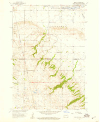 1958 Marlow1959 Print · USGSSargent County and the South Dakota borderlands are shown in the late fifties as a landscape of prairie wetlands and reservation boundaries. Genealogists can locate family sites near Marlow, the Emmanuel Ch, and multiple locations of School No 1.2 unique versions available
 - 1979 Map of Sisseton, 1980 Print
 1979 Sisseton1980 Print · USGSNortheastern South Dakota and the North Dakota borderlands appear here in the late seventies, centered on the high glacial plateau. Genealogists and historians can trace the Sisseton Indian Reservation and rail-stop towns like Britton and Lake City.
 - 2011 Map of Marlow, 2011 Print
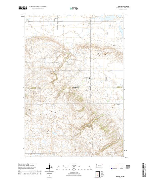
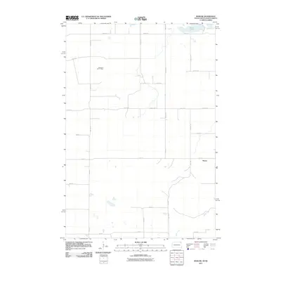 2011 Marlow2011 Print · USGSCovers Marlow, including Tewaukon Township, Heipa District, and other nearby areas
 - 2012 Map of Marlow, 2012 Print
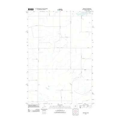 2012 Marlow2012 Print · USGSCovers Marlow, including Tewaukon Township, Heipa District, and other nearby areas
 - 2015 Map of Marlow, 2015 Print
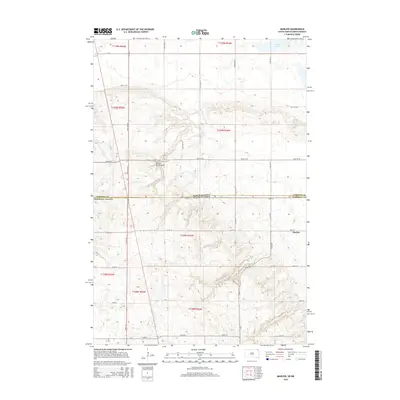 2015 Marlow2015 Print · USGSCovers Marlow, including Tewaukon Township, Heipa District, and other nearby areas
 - 2017 Map of Marlow, 2017 Print
 2017 Marlow2017 Print · USGSCovers Marlow, including Tewaukon Township, Heipa District, and other nearby areas
 - 2021 Map of Marlow, 2021 Print
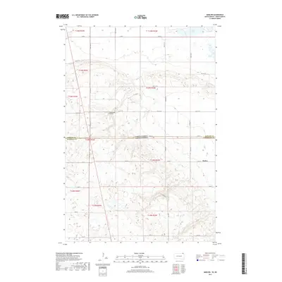
 2021 Marlow2021 Print · USGSThe high plateau of the Coteau des Prairies defines this borderland between North and South Dakota in the twenty-first century. Genealogists and local historians can locate the community of Marlow and the nearby Immanuel Cem among the windswept hills.
End of results
Showing maps 1-9 of 9
Top cities near Marlow
Frequently asked questions
- What are the different types of historical maps available for Marlow?
- What is the oldest map of Marlow?
- Where can I purchase historical maps of Marlow for my home or office?
- Where can I download high-res historical maps of Marlow?
- Are there historical topographic maps available for Marlow?
- Is there historical aerial imagery available for Marlow?
- Where are historical maps of Marlow sourced from?