Old Maps of Council, Idaho for Academic Research
Study the evolution of Council with 20 high-resolution historic maps. Whether you're teaching, researching, or modeling changes in land use, these maps provide essential visual documentation of urban, environmental, and geographic change.
- Analyze long-term change: Track patterns in development, transportation, and natural features.
- Ideal for environmental or urban studies: Support academic projects with primary historical map data.
- Use in the classroom or lab: Educators and researchers rely on these maps to bring historical context to life.
These maps are a powerful tool for teaching, research, and visualizing how Council has changed over the decades.
Council, ID maps
(20)- 1911 Map of Meadows
 1911 Meadows1911 Print · USGSThe high meadows and river valleys of central Idaho are seen here during the early years of the national forest system. Genealogists and historians can locate remote settlements like Lardo and Crawford, or trace rural schoolhouses including Hayes School and Rutledge School.2 unique versions available
 - 1954 Map of Council, 1956 Print
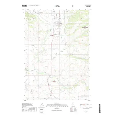
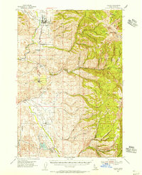 1954 Council1956 Print · USGSIn the mid-1950s, the Weiser River valley around Council balanced a rail-dependent economy with the expansive wilderness of the Payette National Forest. Genealogists can locate legacy sites like Indian Valley Cem and the Middle Fork School or trace the early industrial footprint of the Union Pacific line.2 unique versions available
 - 1954 Map of New Meadows, 1956 Print
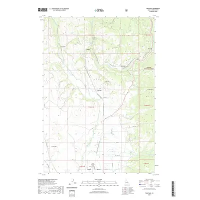
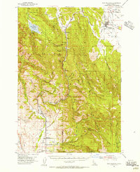 1954 New Meadows1956 Print · USGSNew Meadows and the surrounding timberlands of the Payette National Forest are captured here in the mid-1950s. Genealogists and researchers can trace the Pacific and Idaho Northern Railroad through mountain settlements like Fruitvale, Evergreen, and Starkey.2 unique versions available
 - 1955 Map of Baker, 1964 Print
 1955 Baker1964 Print · USGSThe Oregon-Idaho borderlands are captured here in the mid-fifties as the Snake River underwent massive changes from dam construction. Trace the Oregon Trail Memorial Monument near Baker, find early mines like Virtue Mine, and follow the Union Pacific Railroad through Huntington.4 unique versions available
 - 1959 Map of Baker
 1959 Baker1959 Print · USGSThe Oregon and Idaho borderlands come alive in the late fifties, showing the rugged corridor along the Snake River and the high peaks of the Wallowa Mountains. Researchers can trace the legacy of the Union Pacific railroad or locate historic mining sites like the Flagstaff Mine and Virtue Mine.2 unique versions available
 - 1980 Map of McCall, 1993 Print
 1980 McCall1993 Print · USGSThe high timber country and glacial lakes of the West Mountains are documented here in the early eighties. Genealogists and local historians can trace the Union Pacific rail line and family-linked sites like Roseberry, Starkey, and the North Hornet Mine.2 unique versions available
 - 1986 Map of Council
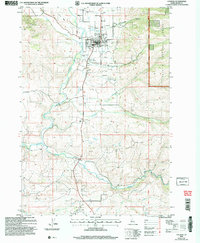
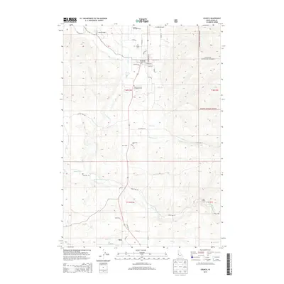
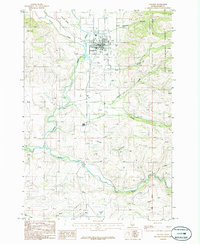 1986 Council1986 Print · USGSCouncil and the Weiser River valley are captured in the mid-1980s, showcasing a landscape of small settlements and river-fed agriculture. Genealogists and historians can trace the town's footprint from the Fairground to the outlying Mesa Siding and Mesa settlements.
 - 1986 Map of Fruitvale
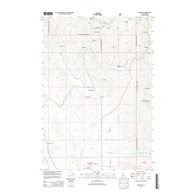
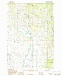 1986 Fruitvale1986 Print · USGSThe Weiser River valley in the 1980s was a hub of small settlements and river-bottom agriculture. Genealogists and local historians can trace the foundations of Fruitvale, Starkey, and Glendale, or locate the Council Municipal Airport at the valley's southern end.
 - 2004 Map of Council, 2007 Print
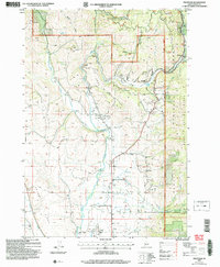
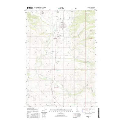
 2004 Council2007 Print · USGSAdams County’s high valley comes into focus during the early 2000s, centered on the community of Council and its river-carved landscape. Researchers can trace the layout of local infrastructure from the Council Municipal Airport to the outlying settlements at Mesa and Mesa Siding.
 - 2004 Map of Fruitvale, 2007 Print
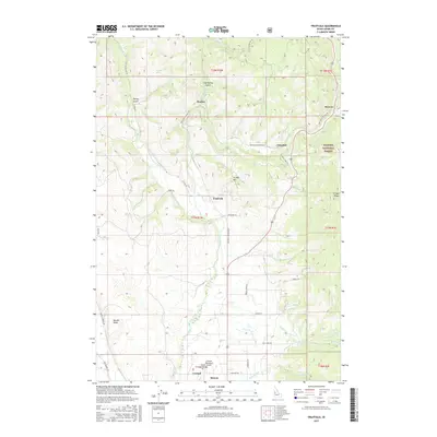
 2004 Fruitvale2007 Print · USGSThe Weiser River valley in the early 2000s remains a vital corridor for Adams County settlements and aviation. Genealogists and local historians can trace the foundations of Fruitvale, Starkey, and Glendale, or locate the Cem near the Council Municipal Airport.
 - 2011 Map of Council, 2011 Print
 2011 Council2011 Print · USGSCovers Council, including Adams County, United States, and other nearby areas
 - 2011 Map of Fruitvale, 2011 Print
 2011 Fruitvale2011 Print · USGSCovers Council, including Fruitvale, Adams County, and other nearby areas
 - 2013 Map of Council, 2013 Print
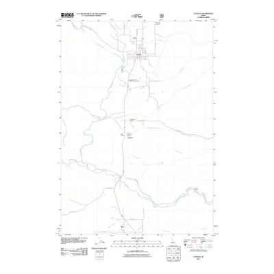
 2013 Council2013 Print · USGSCovers Council, including Adams County, United States, and other nearby areas
 - 2013 Map of Fruitvale, 2013 Print
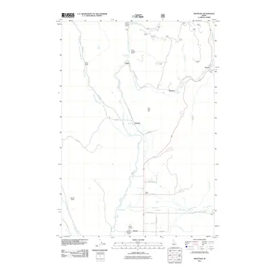
 2013 Fruitvale2013 Print · USGSCovers Council, including Fruitvale, Adams County, and other nearby areas
 - 2017 Map of Council, 2017 Print
 2017 Council2017 Print · USGSCovers Council, including Adams County, United States, and other nearby areas
 - 2017 Map of Fruitvale, 2017 Print
 2017 Fruitvale2017 Print · USGSCovers Council, including Fruitvale, Adams County, and other nearby areas
 - 2020 Map of Fruitvale, 2020 Print
 2020 Fruitvale2020 Print · USGSCovers Council, including Fruitvale, Adams County, and other nearby areas
 - 2020 Map of Council, 2020 Print
 2020 Council2020 Print · USGSCovers Council, including Adams County, United States, and other nearby areas
 - 2024 Map of Council, 2024 Print
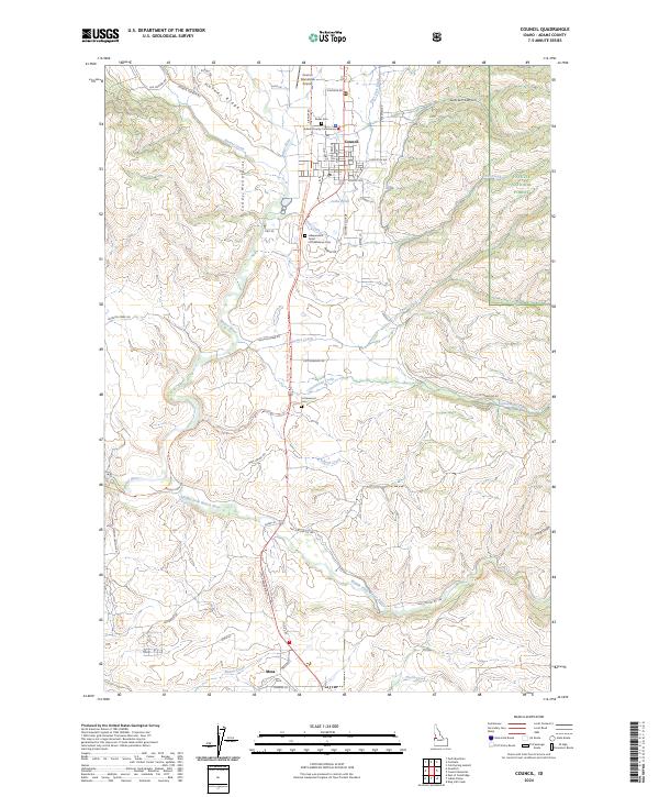 2024 Council2024 Print · USGSThe high mountain valley of Adams County is shown here in its modern context, centered on the historic county seat of Council. Researchers can trace local lineage at Kesler Cemetery and Cottonwood Cemetery or explore the rugged topography of the Cuddy Mountains.
 - 2024 Map of Fruitvale, 2024 Print
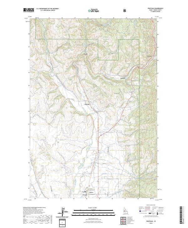 2024 Fruitvale2024 Print · USGSThe river valleys of Adams County are captured in this modern survey, showing how the landscape around Council remains tied to its waterways. Genealogists and local historians can locate the Winkler Cem and trace the paths of old settlements like Fruitvale and Starkey.
End of results
Showing maps 1-20 of 20
Top cities near Council
Frequently asked questions
- What are the different types of historical maps available for Council?
- What is the oldest map of Council?
- Where can I purchase historical maps of Council for my home or office?
- Where can I download high-res historical maps of Council?
- Are there historical topographic maps available for Council?
- Is there historical aerial imagery available for Council?
- Where are historical maps of Council sourced from?