Old Maps of Cox, Idaho
Explore 11 old maps of Cox, spanning from 1950 to today. These high-resolution historic maps reveal how streets, neighborhoods, landmarks, and natural features evolved over time — perfect for genealogy, metal detecting, research, and local history exploration.
What you can do with these maps:
- See how Cox changed over time: Compare historical maps to modern-day views to trace roads, homesites, rail lines & more.
- View detailed metadata: Each map includes creators, publishers, year, scale, and archive source.
- Overlay maps with satellite & LiDAR: Visualize the past alongside modern tools to explore terrain & human change.
- Trusted historical sources: Maps sourced from the USGS, Library of Congress, and other archives.
- Access maps your way: View online, download high-res files, or order prints for personal or research use.
Start exploring old maps of Cox to uncover forgotten places, hidden landmarks, and the deep history beneath your feet.
Cox, ID maps
(11)- 1950 Map of Goshen, 1976 Print
 1950 Goshen1976 Print · USGSIn the early 1950s, the Bingham County countryside was a complex network of rail and irrigation. Genealogists and local historians can trace family roots through the Goshen community, rural landmarks like the Jameston Sch, and the Union Pacific corridor.
 - 1952 Map of Goshen
 1952 Goshen1952 Print · USGSBingham County agriculture and irrigation are captured here in the early 1950s as water management reshaped the Snake River Plain. Trace the vital network of the Highline Canal and Idaho Canal alongside landmarks like Jameston Sch and the Snake River.
 - 1955 Map of Idaho Falls, 1963 Print
 1955 Idaho Falls1963 Print · USGSThe Snake River Plain and its surrounding volcanic peaks are captured in the late fifties, showing the region's unique mix of nuclear research and high-desert ranching. Trace the industrial footprint of the National Reactor Testing Station or find old mining sites like Empire Mine.5 unique versions available
 - 1958 Map of Idaho Falls
 1958 Idaho Falls1958 Print · USGSEastern Idaho in the late fifties showcases the rapid expansion of agricultural and scientific outposts across its volcanic plains. Researchers can locate remote sites like Atomic City, mineral interests at White Knob Mine, and the cultural grounds of St Marys Mission.2 unique versions available
 - 1978 Map of Blackfoot, 1997 Print
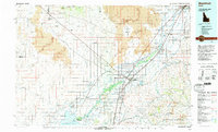 1978 Blackfoot1997 Print · USGSThe Snake River Valley in the late 1970s shows a landscape of volcanic lava flows meeting intensive irrigation. Genealogists and local historians can trace the irrigation canals and rail towns from Atomic City to the Fort Hall Indian Reservation and Gay Mine.
 - 1998 Map of Goshen, 2002 Print
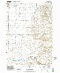 1998 Goshen2002 Print · USGSBingham County and Bonneville County meet here at the close of the twentieth century, where irrigation canals transform the high desert into fertile farmland. Local historians can trace early community sites like Goshen and Shelley, or locate the Jamestown Sch and landmarks within the Fort Indian Hall Indian Reservation.
 - 2010 Map of Goshen, 2010 Print
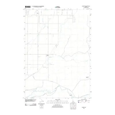 2010 Goshen2010 Print · USGSBingham County agricultural life in the early twenty-first century is centered on the vital waters of the Blackfoot River. Genealogists and historians can trace the irrigation network from The Butte down to Wolverine Canyon via the Highline Canal and Idaho Canal.
 - 2013 Map of Goshen, 2013 Print
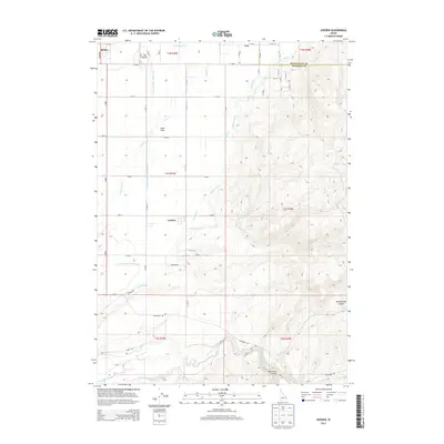 2013 Goshen2013 Print · USGSThe rural landscape between the Blackfoot River and Shelley is revealed in this early twenty-first-century survey. Genealogists and local historians can trace irrigation networks like the Little Indian Ditch and Jensen Lateral that shaped the settlement of Goshen.
 - 2017 Map of Goshen, 2017 Print
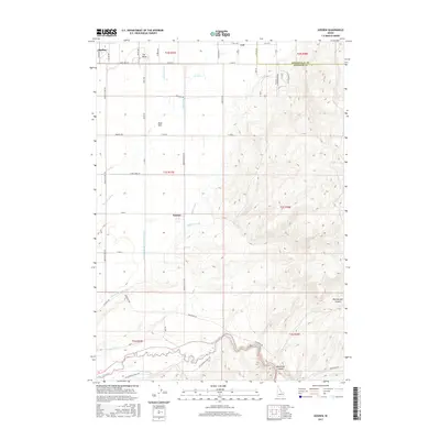 2017 Goshen2017 Print · USGSEastern Idaho's irrigation and canyon country are shown here in detail during the twenty-tens. Genealogists and researchers can trace local water rights and land use through the Highline Canal, Wolverine Canyon, and the settlement at Goshen.
 - 2020 Map of Goshen, 2020 Print
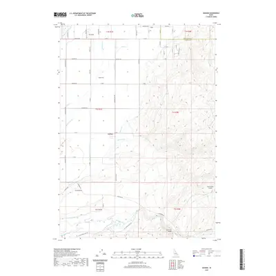 2020 Goshen2020 Print · USGSBingham County agriculture and the high desert hills meet in the years preceding the 2020s. Researchers can trace the sophisticated irrigation network of the Idaho Canal and Snake-R-Valley Canal or locate local landmarks like The Butte and Presto Bench.
 - 2023 Map of Goshen, 2023 Print
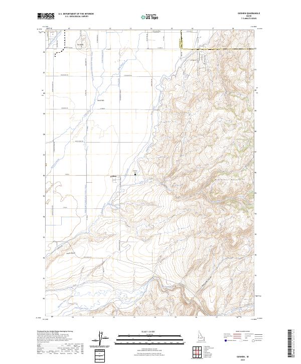 2023 Goshen2023 Print · USGSIn the valley south of Idaho Falls, this modern survey captures the agricultural heart of Bingham County and the rising slopes of the Blackfoot Mountains. Genealogists and researchers can trace the vicinity of Goshen and Goshen Cem alongside an extensive irrigation network including the Highline Canal.
End of results
Showing maps 1-11 of 11
Top cities near Cox
- Idaho Falls historical maps
- Ammon historical maps
- Iona historical maps
- Ucon historical maps
- Firth historical maps
- Basalt historical maps
Frequently asked questions
- What are the different types of historical maps available for Cox?
- What is the oldest map of Cox?
- Where can I purchase historical maps of Cox for my home or office?
- Where can I download high-res historical maps of Cox?
- Are there historical topographic maps available for Cox?
- Is there historical aerial imagery available for Cox?
- Where are historical maps of Cox sourced from?