Old Maps of Wapello, Idaho
Explore 12 old maps of Wapello, spanning from 1940 to today. These high-resolution historic maps reveal how streets, neighborhoods, landmarks, and natural features evolved over time — perfect for genealogy, metal detecting, research, and local history exploration.
What you can do with these maps:
- See how Wapello changed over time: Compare historical maps to modern-day views to trace roads, homesites, rail lines & more.
- View detailed metadata: Each map includes creators, publishers, year, scale, and archive source.
- Overlay maps with satellite & LiDAR: Visualize the past alongside modern tools to explore terrain & human change.
- Trusted historical sources: Maps sourced from the USGS, Library of Congress, and other archives.
- Access maps your way: View online, download high-res files, or order prints for personal or research use.
Start exploring old maps of Wapello to uncover forgotten places, hidden landmarks, and the deep history beneath your feet.
Wapello, ID maps
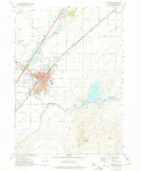
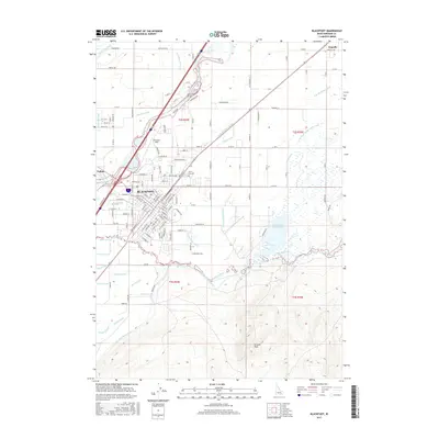
(12)- 1940 Map of Blackfoot, 1958 Print
 1940 Blackfoot1958 Print · USGSBingham County at the dawn of the 1940s reveals a landscape defined by the Snake River and a vast irrigation network. Genealogists and historians can trace the Fort Hall Indian Reservation boundaries, find School No 12, and locate the Indian Agency and Ross Fork Indian Sch.
 - 1943 Map of Blackfoot
 1943 Blackfoot1943 Print · USGSSoutheastern Idaho's river valleys and irrigation networks are on full display in the early 1940s, centered on the confluence of the Snake River and Blackfoot River. Genealogists and historians can trace family-named waterworks like Wearyrick Ditch and explore the historic layout of the Fort Hall Indian Reservation and Blackfoot.2 unique versions available
 - 1955 Map of Idaho Falls, 1963 Print
 1955 Idaho Falls1963 Print · USGSThe Snake River Plain and its surrounding volcanic peaks are captured in the late fifties, showing the region's unique mix of nuclear research and high-desert ranching. Trace the industrial footprint of the National Reactor Testing Station or find old mining sites like Empire Mine.5 unique versions available
 - 1958 Map of Idaho Falls
 1958 Idaho Falls1958 Print · USGSEastern Idaho in the late fifties showcases the rapid expansion of agricultural and scientific outposts across its volcanic plains. Researchers can locate remote sites like Atomic City, mineral interests at White Knob Mine, and the cultural grounds of St Marys Mission.2 unique versions available
 - 1971 Map of Blackfoot, 1974 Print
 1971 Blackfoot1974 Print · USGSBingham County's river-fed agriculture is on full display in the early 1970s, centered on the growing hub of Blackfoot. Genealogists and researchers can trace local landmarks like Grove City Cem, Jensen Grove Church, and the Union Pacific rail corridor.
 - 1974 Map of Blackfoot, 1975 Print
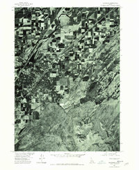 1974 Blackfoot1975 Print · USGSThe Snake River Plain in the mid-1970s reveals a patchwork of productive farmland and expanding irrigation networks. Researchers can trace the confluence of the Blackfoot River and Snake River or locate the settlement of Wapello.
 - 1978 Map of Blackfoot, 1997 Print
 1978 Blackfoot1997 Print · USGSThe Snake River Valley in the late 1970s shows a landscape of volcanic lava flows meeting intensive irrigation. Genealogists and local historians can trace the irrigation canals and rail towns from Atomic City to the Fort Hall Indian Reservation and Gay Mine.
 - 2010 Map of Blackfoot, 2010 Print
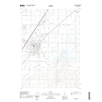
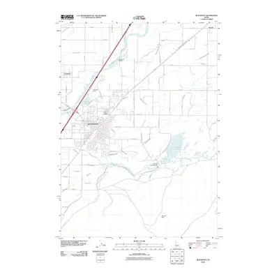 2010 Blackfoot2010 Print · USGSCovers Wapello, including Blackfoot, Groveland, and other nearby areas
 - 2013 Map of Blackfoot, 2013 Print
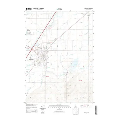 2013 Blackfoot2013 Print · USGSCovers Wapello, including Blackfoot, Groveland, and other nearby areas
 - 2017 Map of Blackfoot, 2017 Print
 2017 Blackfoot2017 Print · USGSCovers Wapello, including Blackfoot, Groveland, and other nearby areas
 - 2020 Map of Blackfoot, 2020 Print
 2020 Blackfoot2020 Print · USGSCovers Wapello, including Blackfoot, Groveland, and other nearby areas
 - 2024 Map of Blackfoot, 2024 Print
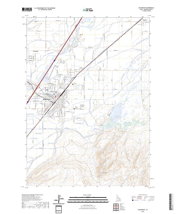 2024 Blackfoot2024 Print · USGSBingham County and the city of Blackfoot appear here in the early 2020s, showing the intersection of the Snake River and an extensive irrigation network. Researchers can identify local institutions like the Bingham County Courthouse, City Cem, and the Idaho State Hospital South.
End of results
Showing maps 1-12 of 12
Top cities near Wapello
Frequently asked questions
- What are the different types of historical maps available for Wapello?
- What is the oldest map of Wapello?
- Where can I purchase historical maps of Wapello for my home or office?
- Where can I download high-res historical maps of Wapello?
- Are there historical topographic maps available for Wapello?
- Is there historical aerial imagery available for Wapello?
- Where are historical maps of Wapello sourced from?