Old Maps of Wolverine, Idaho for Academic Research
Study the evolution of Wolverine with 11 high-resolution historic maps. Whether you're teaching, researching, or modeling changes in land use, these maps provide essential visual documentation of urban, environmental, and geographic change.
- Analyze long-term change: Track patterns in development, transportation, and natural features.
- Ideal for environmental or urban studies: Support academic projects with primary historical map data.
- Use in the classroom or lab: Educators and researchers rely on these maps to bring historical context to life.
These maps are a powerful tool for teaching, research, and visualizing how Wolverine has changed over the decades.
Wolverine, ID maps
(11)- 1924 Map of Ammon, 1958 Print
 1924 Ammon1958 Print · USGSSoutheast Idaho at the dawn of the motorized age shows a landscape of developing irrigation and rural schools. You can trace the path of the Union Pacific through Ammon or locate historic schoolhouses like Dewey School and Henry Creek School.3 unique versions available
 - 1955 Map of Driggs, 1967 Print
 1955 Driggs1967 Print · USGSEastern Idaho and Western Wyoming appear at a mid-century crossroads as the river valleys were fully settled and the high peaks protected. Genealogists and researchers can trace the rail towns of Rexburg and Driggs or follow the Snake River from Irwin to the Palisades Reservoir.3 unique versions available
 - 1958 Map of Driggs
 1958 Driggs1958 Print · USGSThe high Teton peaks and Snake River valleys are captured here in the mid-fifties, showing the region's agricultural and wilderness boundaries. Researchers can trace the Union Pacific rail corridor through Rexburg or locate early settlements like Clementsville and Tetonia.2 unique versions available
 - 1962 Map of Driggs
 1962 Driggs1962 Print · USGSThe Idaho-Wyoming borderlands are captured here in the early sixties, showing the peaks and valleys of the northern Rockies. Genealogists and historians can trace rail lines like the Union Pacific RR and isolated outposts like the National Elk Refuge or the Fort Hall Indian Reservation.
 - 1981 Map of Wolverine
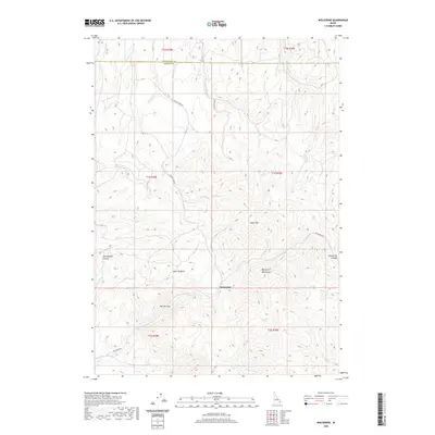
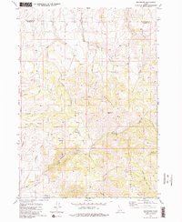 1981 Wolverine1981 Print · USGSBingham County in the early 1980s is shown here as a high-country landscape of seasonal creeks and mountain basins. Researchers can trace the drainages of Wolverine Creek through The Narrows, find the settlement at Wolverine, and locate several remote springs.2 unique versions available
 - 1986 Map of Palisades, 1987 Print
 1986 Palisades1987 Print · USGSThe Idaho-Wyoming borderlands are captured here in the mid-1980s, where the high ridges of the Caribou Range meet the vital Snake River corridor. Researchers can trace the water-management history of Palisades Reservoir or locate the Monte Cristo Mine and Evergreen Mine near the Caribou Basin.2 unique versions available
 - 2011 Map of Wolverine, 2011 Print
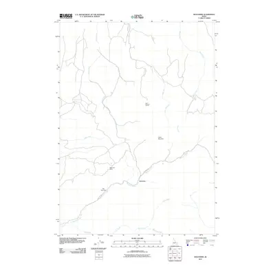 2011 Wolverine2011 Print · USGSCovers Wolverine, including Bonneville County, Bingham County, and other nearby areas
 - 2013 Map of Wolverine, 2013 Print
 2013 Wolverine2013 Print · USGSCovers Wolverine, including Bonneville County, Bingham County, and other nearby areas
 - 2017 Map of Wolverine, 2017 Print
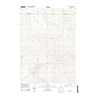
 2017 Wolverine2017 Print · USGSCovers Wolverine, including Bonneville County, Bingham County, and other nearby areas
 - 2020 Map of Wolverine, 2020 Print
 2020 Wolverine2020 Print · USGSCovers Wolverine, including Bonneville County, Bingham County, and other nearby areas
 - 2023 Map of Wolverine, 2023 Print
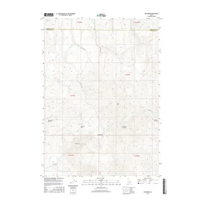
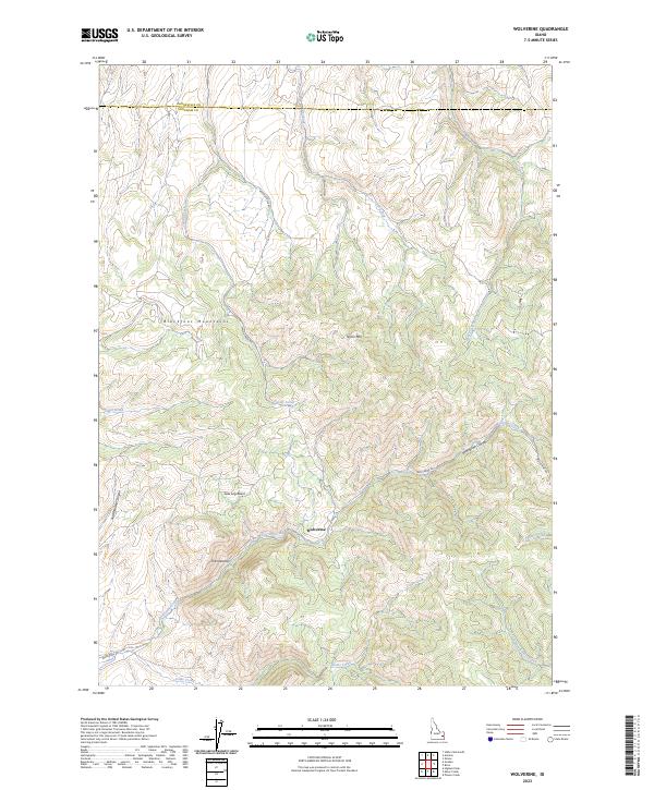 2023 Wolverine2023 Print · USGSThe Blackfoot Mountains of eastern Idaho are captured in this modern survey of high-country terrain. Researchers can trace the winding paths of Wolverine Rd and Taylor Creek Rd through Wolverine Canyon and the high Saw Log Basin.
End of results
Showing maps 1-11 of 11
Top cities near Wolverine
Frequently asked questions
- What are the different types of historical maps available for Wolverine?
- What is the oldest map of Wolverine?
- Where can I purchase historical maps of Wolverine for my home or office?
- Where can I download high-res historical maps of Wolverine?
- Are there historical topographic maps available for Wolverine?
- Is there historical aerial imagery available for Wolverine?
- Where are historical maps of Wolverine sourced from?