Old Maps of Banks, Idaho for Hiking & Exploration
Hike through history with 11 historic maps of Banks. Explore old trails, ghost towns, and forgotten backroads — perfect for outdoor adventurers and local explorers.
- Rediscover forgotten places: Map out old mining camps, roads, and footpaths that no longer exist on modern maps.
- Layer with modern tools: Combine with LiDAR or satellite views to plan hikes through historical terrain.
- Made for exploration: Popular among hikers, overlanders, and local history lovers.
Use these maps to find adventure and explore the hidden past of Banks.
Banks, ID maps
(11)- 1894 Map of Squaw Creek
 1894 Squaw Creek1894 Print · USGSCentral Idaho in the 1890s was a landscape of mountain valleys and river crossings where early pioneers established remote outposts. Trace the locations of historic river access at Smith Ferry and early industry at Walker Mill or the settlement of Ola.5 unique versions available
 - 1953 Map of Banks, 1955 Print
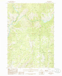
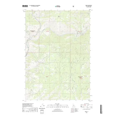
 1953 Banks1955 Print · USGSThe confluence of the Payette River forks defines this mid-century survey of Boise and Valley counties. Genealogists can trace the rural mountain life of the early fifties through the High Valley Sch (Aband), Pinehurst Church, and the settlement of Banks.3 unique versions available
 - 1955 Map of Baker, 1964 Print
 1955 Baker1964 Print · USGSThe Oregon-Idaho borderlands are captured here in the mid-fifties as the Snake River underwent massive changes from dam construction. Trace the Oregon Trail Memorial Monument near Baker, find early mines like Virtue Mine, and follow the Union Pacific Railroad through Huntington.4 unique versions available
 - 1959 Map of Baker
 1959 Baker1959 Print · USGSThe Oregon and Idaho borderlands come alive in the late fifties, showing the rugged corridor along the Snake River and the high peaks of the Wallowa Mountains. Researchers can trace the legacy of the Union Pacific railroad or locate historic mining sites like the Flagstaff Mine and Virtue Mine.2 unique versions available
 - 1980 Map of Weiser, 1993 Print
 1980 Weiser1993 Print · USGSThe Snake River valley and the foothills of the Boise Mountains are captured here in the 1980s, showing the vital rail and water infrastructure of the region. Researchers can trace the Union Pacific line through Payette or locate rural landmarks like Hog Cove Butte and Wilburn Butte.
 - 1985 Map of Banks, 1986 Print
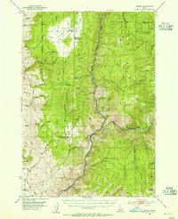
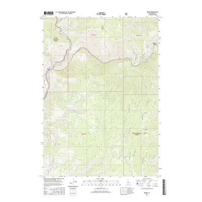
 1985 Banks1986 Print · USGSThe North Fork Payette River corridor comes to life in the mid-eighties as it winds through the Boise National Forest. Researchers can trace the riverfront at Banks and Zimmer or locate mountain landmarks like Boise Mountain and Fleming Creek.
 - 2011 Map of Banks, 2011 Print
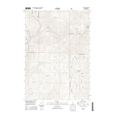
 2011 Banks2011 Print · USGSCovers Banks, including Boise County, United States, and other nearby areas
 - 2013 Map of Banks, 2013 Print
 2013 Banks2013 Print · USGSCovers Banks, including Boise County, United States, and other nearby areas
 - 2017 Map of Banks, 2017 Print
 2017 Banks2017 Print · USGSCovers Banks, including Boise County, United States, and other nearby areas
 - 2020 Map of Banks, 2020 Print
 2020 Banks2020 Print · USGSCovers Banks, including Boise County, United States, and other nearby areas
 - 2024 Map of Banks, 2024 Print
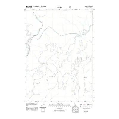
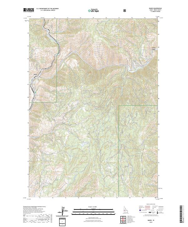 2024 Banks2024 Print · USGSThe confluence of the Payette rivers at Banks is captured here in detail as it appears today within the Boise National Forest. Researchers can trace the modern road network from Banks Lowman Rd to Jerusalem Rd across the ridges of Charters Mtn Ridge.
End of results
Showing maps 1-11 of 11
Top cities near Banks
Frequently asked questions
- What are the different types of historical maps available for Banks?
- What is the oldest map of Banks?
- Where can I purchase historical maps of Banks for my home or office?
- Where can I download high-res historical maps of Banks?
- Are there historical topographic maps available for Banks?
- Is there historical aerial imagery available for Banks?
- Where are historical maps of Banks sourced from?