2000s (21st Century) Maps of The Crossing At Meadow Park, Middleton
Explore 10 historic maps of The Crossing At Meadow Park from the 2000s (21st Century). These maps offer a rare glimpse into what life looked like during the 2000s — showing old roads, neighborhoods, homes, and landmarks that have changed or disappeared over time.
Whether you're researching your family's past, planning a metal detecting trip, or studying how The Crossing At Meadow Park's landscape evolved across the 2000s, these high-resolution maps are a powerful tool for exploring the history of this region.
- Focus on a specific era: All maps on this page are from the 2000s, giving you a focused view of this time period.
- See what’s changed: Compare century-old streets, trails, and buildings to today's modern landscape using overlays and satellite layers.
- Research with precision: Use these maps for genealogy, historical research, land use analysis, or educational projects.
- View, download, or print: Maps are fully viewable online in high resolution, and can be downloaded or printed for your own records.
Start exploring The Crossing At Meadow Park's history through authentic maps from the 2000s. This is your window into the past.
The Crossing At Meadow Park, Middleton maps
(10)- 2010 Map of Caldwell, 2010 Print
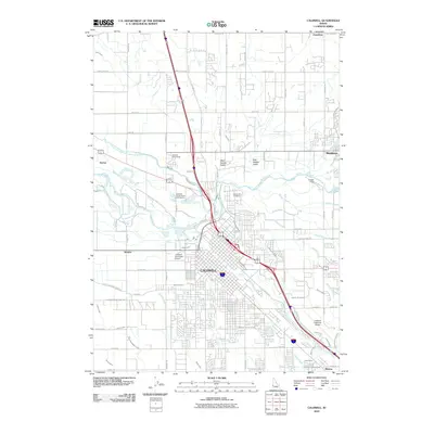 2010 Caldwell2010 Print · USGSCovers The Crossing At Meadow Park, including Caldwell, Middleton, and other nearby areas
 - 2010 Map of Middleton, 2010 Print
 2010 Middleton2010 Print · USGSCovers The Crossing At Meadow Park, including Nampa, Caldwell, and other nearby areas
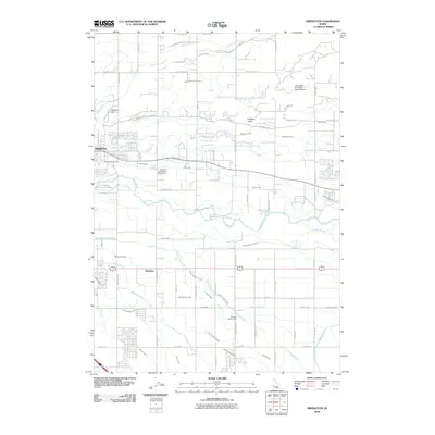
 - 2013 Map of Middleton, 2013 Print
 2013 Middleton2013 Print · USGSCovers The Crossing At Meadow Park, including Nampa, Caldwell, and other nearby areas
 - 2013 Map of Caldwell, 2013 Print
 2013 Caldwell2013 Print · USGSCovers The Crossing At Meadow Park, including Caldwell, Middleton, and other nearby areas
 - 2017 Map of Caldwell, 2017 Print
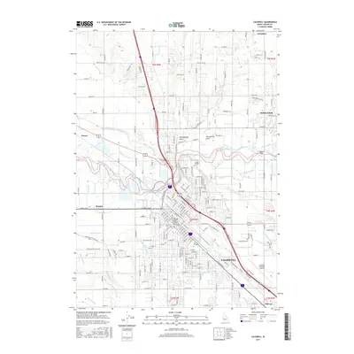 2017 Caldwell2017 Print · USGSCovers The Crossing At Meadow Park, including Caldwell, Middleton, and other nearby areas
 - 2017 Map of Middleton, 2017 Print
 2017 Middleton2017 Print · USGSCovers The Crossing At Meadow Park, including Nampa, Caldwell, and other nearby areas
 - 2020 Map of Caldwell, 2020 Print
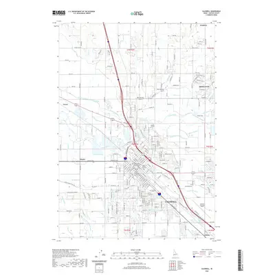 2020 Caldwell2020 Print · USGSCovers The Crossing At Meadow Park, including Caldwell, Middleton, and other nearby areas
 - 2020 Map of Middleton, 2020 Print
 2020 Middleton2020 Print · USGSCovers The Crossing At Meadow Park, including Nampa, Caldwell, and other nearby areas
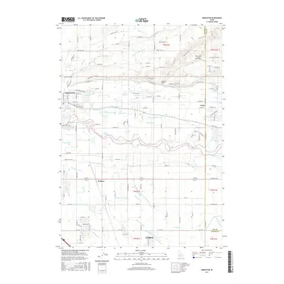
 - 2024 Map of Middleton, 2024 Print
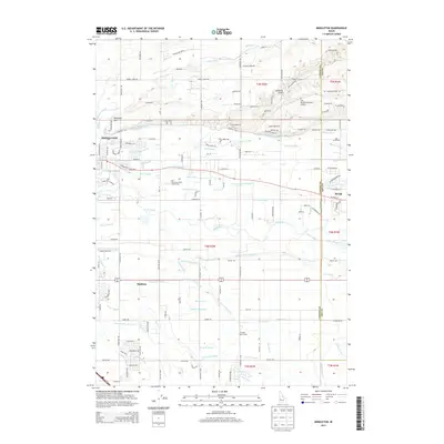
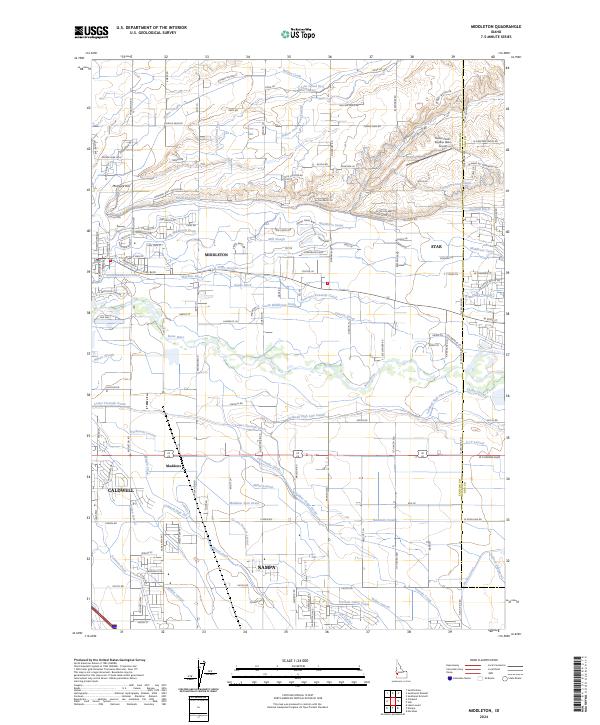 2024 Middleton2024 Print · USGSThe Boise River valley comes into focus during this period of suburban growth and agricultural continuity. Researchers can trace the sprawling irrigation networks of the Caldwell High Line Canal and the Farmers Union Canal near Middleton.
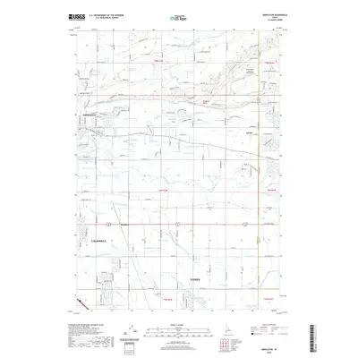
 - 2024 Map of Caldwell, 2024 Print
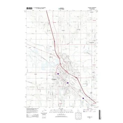
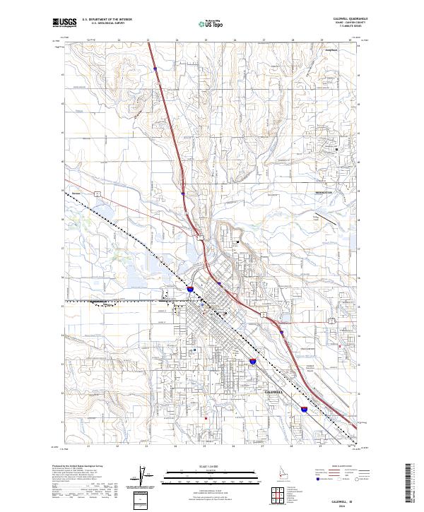 2024 Caldwell2024 Print · USGSCanyon County's agricultural heartland and growing urban centers are shown here in the mid-2020s. Researchers can trace the extensive irrigation network from the Boise River to local landmarks like The College of Idaho and the Middleton Cem.
End of results
Showing maps 1-10 of 10
Frequently asked questions
- What are the different types of historical maps available for The Crossing At Meadow Park?
- What is the oldest map of The Crossing At Meadow Park?
- Where can I purchase historical maps of The Crossing At Meadow Park for my home or office?
- Where can I download high-res historical maps of The Crossing At Meadow Park?
- Are there historical topographic maps available for The Crossing At Meadow Park?
- Is there historical aerial imagery available for The Crossing At Meadow Park?
- Where are historical maps of The Crossing At Meadow Park sourced from?