Old Maps of The Island, St. Anthony
Explore 10 old maps of The Island, spanning from 1950 to today. These high-resolution historic maps reveal how streets, neighborhoods, landmarks, and natural features evolved over time — perfect for genealogy, metal detecting, research, and local history exploration.
What you can do with these maps:
- See how The Island changed over time: Compare historical maps to modern-day views to trace roads, homesites, rail lines & more.
- View detailed metadata: Each map includes creators, publishers, year, scale, and archive source.
- Overlay maps with satellite & LiDAR: Visualize the past alongside modern tools to explore terrain & human change.
- Trusted historical sources: Maps sourced from the USGS, Library of Congress, and other archives.
- Access maps your way: View online, download high-res files, or order prints for personal or research use.
Start exploring old maps of The Island to uncover forgotten places, hidden landmarks, and the deep history beneath your feet.
The Island, St. Anthony maps
(10)- 1950 Map of St Anthony
 1950 St Anthony1950 Print · USGSMid-century Fremont County is defined here by the meeting of the Henrys Fork and the Teton River amidst a massive irrigation network. Researchers can trace the Union Pacific rail line through St. Anthony and locate the Idaho Industrial Training School or Riverview Cemetery.3 unique versions available
 - 1955 Map of Driggs, 1967 Print
 1955 Driggs1967 Print · USGSEastern Idaho and Western Wyoming appear at a mid-century crossroads as the river valleys were fully settled and the high peaks protected. Genealogists and researchers can trace the rail towns of Rexburg and Driggs or follow the Snake River from Irwin to the Palisades Reservoir.3 unique versions available
 - 1958 Map of Driggs
 1958 Driggs1958 Print · USGSThe high Teton peaks and Snake River valleys are captured here in the mid-fifties, showing the region's agricultural and wilderness boundaries. Researchers can trace the Union Pacific rail corridor through Rexburg or locate early settlements like Clementsville and Tetonia.2 unique versions available
 - 1962 Map of Driggs
 1962 Driggs1962 Print · USGSThe Idaho-Wyoming borderlands are captured here in the early sixties, showing the peaks and valleys of the northern Rockies. Genealogists and historians can trace rail lines like the Union Pacific RR and isolated outposts like the National Elk Refuge or the Fort Hall Indian Reservation.
 - 1988 Map of Rexburg, 1989 Print
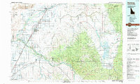 1988 Rexburg1989 Print · USGSThe Upper Snake River Valley in the late eighties shows a region shaped by water and agriculture. Genealogists and historians can locate family plots at the Rexburg Cemetery or trace the early paths of the Union Pacific Railroad through towns like Sugar City and Newdale.
 - 2010 Map of Saint Anthony, 2010 Print
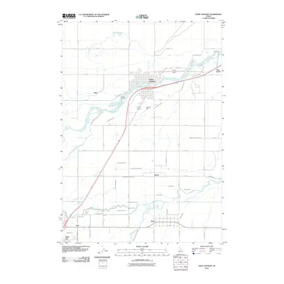 2010 Saint Anthony2010 Print · USGSSaint Anthony and the Snake River Plain are captured here in the early twenty-first century, defined by a complex irrigation network. Genealogists can locate family sites near Riverview Cemetery or trace early water rights along the Farmers Friend Canal and Teton River.
 - 2013 Map of Saint Anthony, 2013 Print
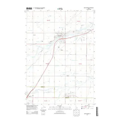 2013 Saint Anthony2013 Print · USGSThe agricultural heart of Fremont County is on display here in the early twenty-first century, centered on the river-fed plains of St. Anthony. Researchers can trace the complex irrigation networks of the Egin Bench or locate family sites near Wilford, Sugar City, and Riverview Cem.
 - 2017 Map of Saint Anthony, 2017 Print
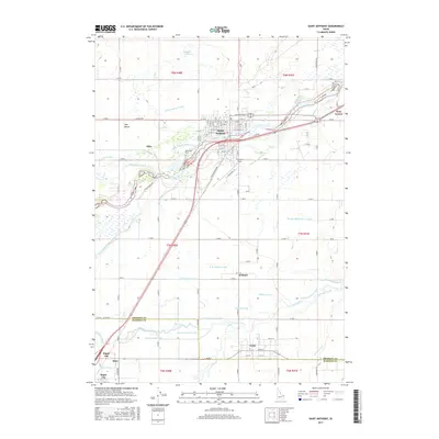 2017 Saint Anthony2017 Print · USGSThe intricate irrigation networks of Fremont and Madison counties are revealed in this modern survey of the Saint Anthony region. Trace the flow of the Teton River through a landscape of canals and ditches serving settlements like Twin Groves, Wilford, and Sugar City.
 - 2020 Map of Saint Anthony, 2020 Print
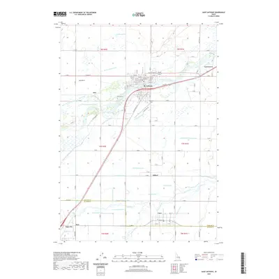 2020 Saint Anthony2020 Print · USGSUpper Snake River Valley settlements are captured here in the modern era, showing the enduring agricultural character of the Egin Bench. Researchers can trace local genealogy and land use through the Fremont County Courthouse, Riverview Cem., and the hamlet of Wilford.
 - 2024 Map of Saint Anthony, 2024 Print
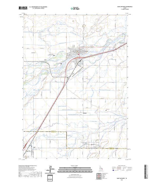 2024 Saint Anthony2024 Print · USGSThe Upper Snake River Plain in recent years remains a landscape of intricate irrigation and river-valley settlements. Researchers can trace local heritage through the Fremont County Courthouse, several cemeteries like Riverview Cem, and the early footprints of St. Anthony and Wilford.
End of results
Showing maps 1-10 of 10
Frequently asked questions
- What are the different types of historical maps available for The Island?
- What is the oldest map of The Island?
- Where can I purchase historical maps of The Island for my home or office?
- Where can I download high-res historical maps of The Island?
- Are there historical topographic maps available for The Island?
- Is there historical aerial imagery available for The Island?
- Where are historical maps of The Island sourced from?