Old Maps of Rogerson, Idaho for Hiking & Exploration
Hike through history with 9 historic maps of Rogerson. Explore old trails, ghost towns, and forgotten backroads — perfect for outdoor adventurers and local explorers.
- Rediscover forgotten places: Map out old mining camps, roads, and footpaths that no longer exist on modern maps.
- Layer with modern tools: Combine with LiDAR or satellite views to plan hikes through historical terrain.
- Made for exploration: Popular among hikers, overlanders, and local history lovers.
Use these maps to find adventure and explore the hidden past of Rogerson.
Rogerson, ID maps
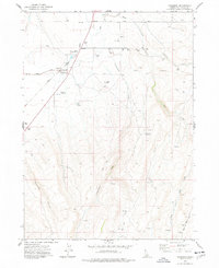
(9)- 1955 Map of Twin Falls, 1963 Print
 1955 Twin Falls1963 Print · USGSThe Magic Valley flourished in the mid-1950s as a sophisticated network of irrigation and rail lines connected high-desert outposts. Researchers can trace the engineering of the Milner-Gooding Canal, the remote Murphy Hot Springs, and the Union Pacific rail network.3 unique versions available
 - 1958 Map of Twin Falls
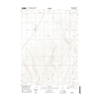
 1958 Twin Falls1958 Print · USGSThe Magic Valley and Snake River Plain are captured here in the late fifties, showcasing a region defined by transformative irrigation projects and desert military ranges. Researchers can trace the Union Pacific rail lines and locate small outlying settlements like Wickahoney, Rogerson, and Hollister.2 unique versions available
 - 1977 Map of Rogerson, 1978 Print
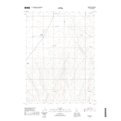
 1977 Rogerson1978 Print · USGSRogerson and the surrounding ranching country of Twin Falls County are captured here during the late 1970s. Trace local history along the Union Pacific tracks, finding family ranch sites like Duck Springs Ranch and landmarks such as the Cem.
 - 1992 Map of Rogerson
 1992 Rogerson1992 Print · USGSThe high-desert ranching and forest lands of the Idaho-Nevada border are captured here in the late twentieth century. Trace the old Union Pacific line as it passes through Rogerson and the canyonlands of Salmon Falls Creek.
 - 2010 Map of Rogerson, 2010 Print
 2010 Rogerson2010 Print · USGSCovers Rogerson, including Twin Falls County, United States, and other nearby areas
 - 2013 Map of Rogerson, 2013 Print
 2013 Rogerson2013 Print · USGSCovers Rogerson, including Twin Falls County, United States, and other nearby areas
 - 2017 Map of Rogerson, 2017 Print
 2017 Rogerson2017 Print · USGSCovers Rogerson, including Twin Falls County, United States, and other nearby areas
 - 2020 Map of Rogerson, 2020 Print
 2020 Rogerson2020 Print · USGSCovers Rogerson, including Twin Falls County, United States, and other nearby areas
 - 2023 Map of Rogerson, 2023 Print
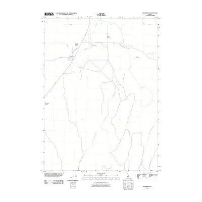
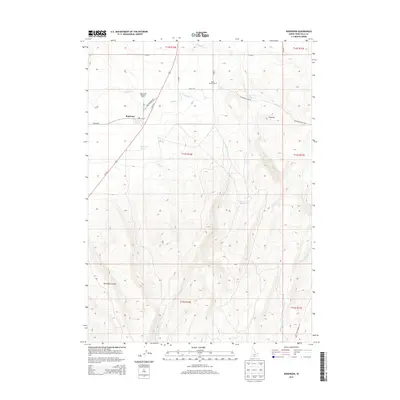
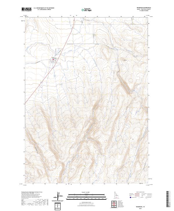 2023 Rogerson2023 Print · USGSSettled along the edge of the Shoshone Basin, this area of southern Idaho reveals a landscape shaped by high-desert drainages and historic roadbeds. Researchers can trace the routes of Old Hwy 93 and locate isolated water sources such as Rogerson Spring and Emerson Spring.
End of results
Showing maps 1-9 of 9
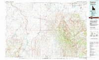
Top cities near Rogerson
Frequently asked questions
- What are the different types of historical maps available for Rogerson?
- What is the oldest map of Rogerson?
- Where can I purchase historical maps of Rogerson for my home or office?
- Where can I download high-res historical maps of Rogerson?
- Are there historical topographic maps available for Rogerson?
- Is there historical aerial imagery available for Rogerson?
- Where are historical maps of Rogerson sourced from?