Old Maps of New Haven, Indiana
Explore 20 old maps of New Haven, spanning from 1953 to today. These high-resolution historic maps reveal how streets, neighborhoods, landmarks, and natural features evolved over time — perfect for genealogy, metal detecting, research, and local history exploration.
What you can do with these maps:
- See how New Haven changed over time: Compare historical maps to modern-day views to trace roads, homesites, rail lines & more.
- View detailed metadata: Each map includes creators, publishers, year, scale, and archive source.
- Overlay maps with satellite & LiDAR: Visualize the past alongside modern tools to explore terrain & human change.
- Trusted historical sources: Maps sourced from the USGS, Library of Congress, and other archives.
- Access maps your way: View online, download high-res files, or order prints for personal or research use.
Start exploring old maps of New Haven to uncover forgotten places, hidden landmarks, and the deep history beneath your feet.
New Haven, IN maps
(20)- 1953 Map of Fort Wayne, 1963 Print
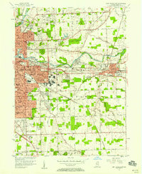
 1953 Fort Wayne1963 Print · USGSNortheast Indiana and its neighboring borderlands in Michigan and Ohio appear here during a peak era of rail and road expansion. Researchers can trace the massive rail networks of the Nickel Plate Road and Wabash or locate lakeside landmarks like Lake Wawasee and Clear Lake.4 unique versions available
 - 1956 Map of Fort Wayne
 1956 Fort Wayne1956 Print · USGSThe tri-state borderlands of Indiana, Michigan, and Ohio are captured here in the mid-fifties, centered on the growing industrial hub of Fort Wayne. Researchers can trace the heavy rail lines of the New York Central and Pennsylvania alongside prominent water features like Lake Wawasee and the Maumee River.2 unique versions available
 - 1956 Map of Fort Wayne East, 1958 Print
 1956 Fort Wayne East1958 Print · USGSFort Wayne's eastern suburbs and industrial corridors expanded rapidly during the mid-fifties, centered on the convergence of the three rivers. Researchers can find numerous parochial institutions like Martini Ch and St Peter Sch alongside landmarks like Zollner Stadium.
 - 1957 Map of Maples, 1959 Print
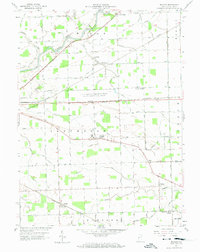 1957 Maples1959 Print · USGSEastern Allen County was a crossroads of major rail lines and military logistics during the late fifties. You can trace the perimeter of the Casad Ordnance Depot or locate early community centers like St Louis Academy and Maples.3 unique versions available
 - 1963 Map of Fort Wayne East, 1965 Print
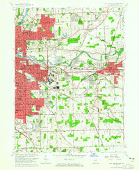 1963 Fort Wayne East1965 Print · USGSFort Wayne and New Haven expand into the Allen County countryside during the early sixties as new subdivisions rise along the rail lines. Genealogists and historians can trace the footprints of local institutions like St Andrews Sch, Martini Ch, and the South Anthony Speedway.3 unique versions available
 - 1984 Map of Fort Wayne, 1985 Print
 1984 Fort Wayne1985 Print · USGSNortheast Indiana in the mid-1980s reveals a complex landscape of glacial lakes, thriving college towns, and heavy rail infrastructure. Researchers can trace the development of Winona Lake, locate Manchester College in North Manchester, and find rural landmarks like Oakwood Cem or the Tri-County State Fish and Game Area.
 - 1986 Map of Defiance, 1992 Print
 1986 Defiance1992 Print · USGSNorthwest Ohio and Eastern Indiana appear in the late eighties as a landscape shaped by significant river confluences and rail corridors. Researchers can trace the layout of local towns and landmarks like Defiance College, Forest Hill Cem, and the path of the Norfolk and Western RR.
 - 1992 Map of Maples, 1995 Print
 1992 Maples1995 Print · USGSAllen County in the early 1990s remained a landscape of traditional township grids and small rail-side hamlets. Genealogists and local historians can trace legacy sites like the St Louis Academy, Four Presidents Corners, and the settlement of Maples.
 - 1994 Map of Fort Wayne
 1994 Fort Wayne1994 Print · USGSNortheast Indiana in the mid-nineties shows a landscape deeply tied to its glacial lakes and early rail networks. Genealogists and historians can trace old transit lines like the Old Ind RR and explore lakeside settlements such as Enchanted Hills and Syracuse.
 - 1998 Map of Fort Wayne East, 2001 Print
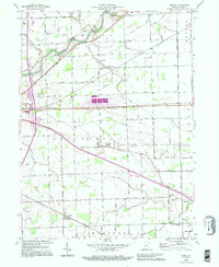
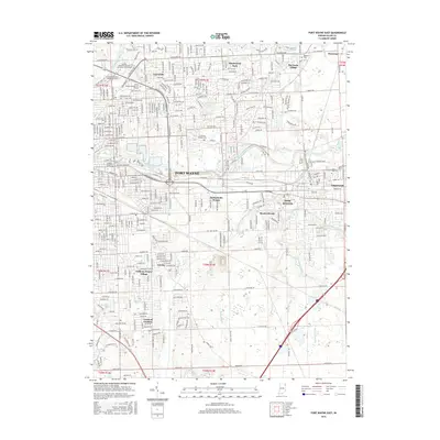
 1998 Fort Wayne East2001 Print · USGSFort Wayne and its eastern suburbs are captured here in the late nineties, showcasing the city's significant post-war expansion. Genealogists and local historians can trace residential growth in Anthony Wayne Village or locate landmarks like Concordia Sem and the IOOF Cem.
 - 2010 Map of Fort Wayne East, 2010 Print
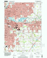
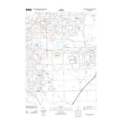
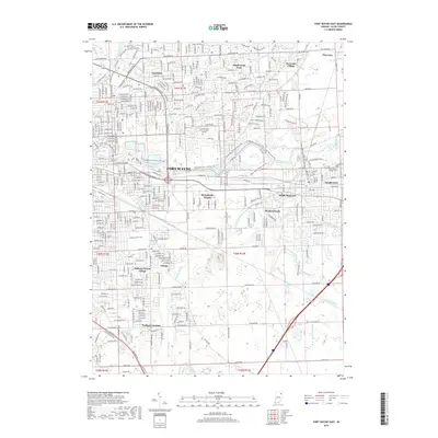
 2010 Fort Wayne East2010 Print · USGSCovers New Haven, including Fort Wayne, River Haven, and other nearby areas
 - 2010 Map of Maples, 2010 Print
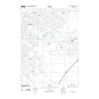
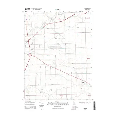
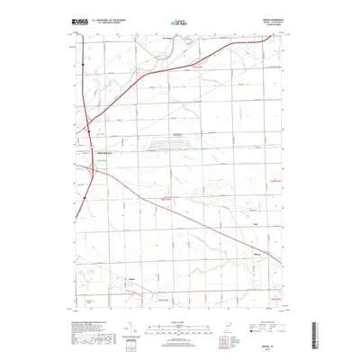
 2010 Maples2010 Print · USGSCovers New Haven, including Five Points, Maples, and other nearby areas
 - 2013 Map of Maples, 2013 Print
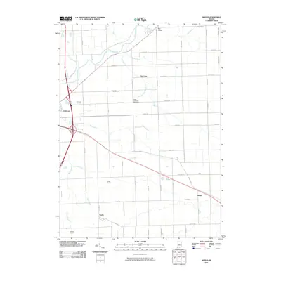
 2013 Maples2013 Print · USGSCovers New Haven, including Five Points, Maples, and other nearby areas
 - 2013 Map of Fort Wayne East, 2013 Print
 2013 Fort Wayne East2013 Print · USGSCovers New Haven, including Fort Wayne, River Haven, and other nearby areas
 - 2016 Map of Fort Wayne East, 2016 Print
 2016 Fort Wayne East2016 Print · USGSCovers New Haven, including Fort Wayne, River Haven, and other nearby areas
 - 2016 Map of Maples, 2016 Print
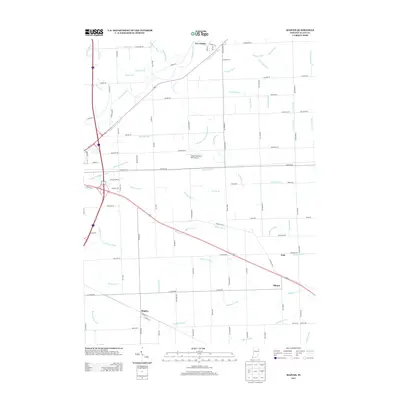
 2016 Maples2016 Print · USGSCovers New Haven, including Five Points, Maples, and other nearby areas
 - 2019 Map of Maples, 2019 Print
 2019 Maples2019 Print · USGSCovers New Haven, including Five Points, Maples, and other nearby areas
 - 2019 Map of Fort Wayne East, 2019 Print
 2019 Fort Wayne East2019 Print · USGSCovers New Haven, including Fort Wayne, River Haven, and other nearby areas
 - 2022 Map of Fort Wayne East, 2022 Print
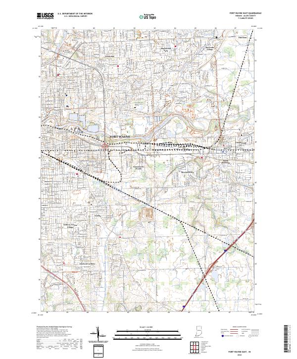 2022 Fort Wayne East2022 Print · USGSEastern Fort Wayne and neighboring New Haven are shown in detail during the early 2020s, revealing a landscape of university campuses and residential growth. Genealogists and local historians can trace developments like Anthony Wayne Village and Tanglewood or locate Concordia Cem and Cremation Gardens.
 - 2022 Map of Maples, 2022 Print
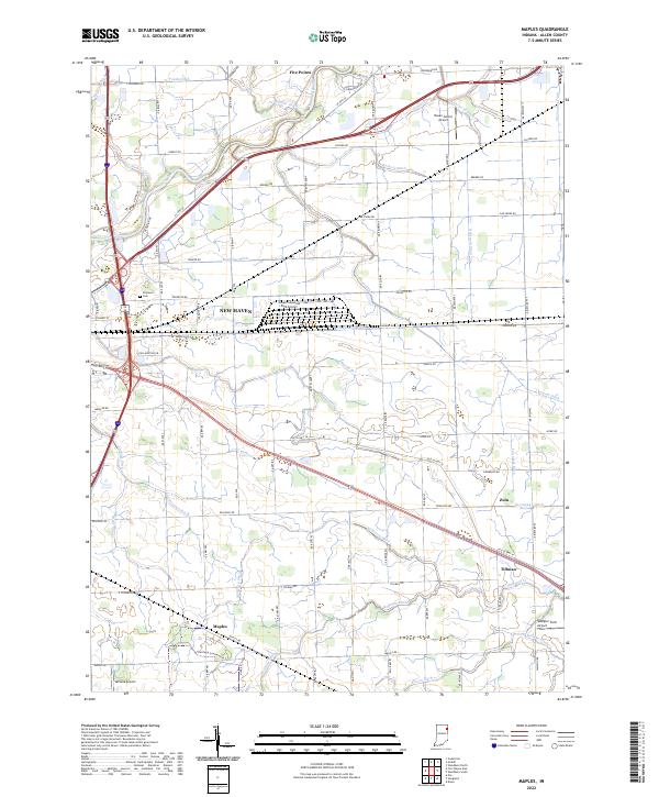 2022 Maples2022 Print · USGSNortheastern Indiana agricultural and industrial life is on full display in this recent survey of the area surrounding New Haven. Researchers can trace the drainage of the Maumee River basin and locate small settlements like Maples, Tillman, and Zulu.
End of results
Showing maps 1-20 of 20
Top cities near New Haven
- Fort Wayne historical maps
- Decatur historical maps
- Ossian historical maps
- Leo-Cedarville historical maps
- Huntertown historical maps
- Woodburn historical maps
See more
Top neighborhoods of New Haven
- Sunnymede Woods historical maps
- Tanglewood historical maps
- Meadowbrook historical maps
- The Enclave historical maps
- Bay Meadow historical maps
- Landin Meadows historical maps
See more
Frequently asked questions
- What are the different types of historical maps available for New Haven?
- What is the oldest map of New Haven?
- Where can I purchase historical maps of New Haven for my home or office?
- Where can I download high-res historical maps of New Haven?
- Are there historical topographic maps available for New Haven?
- Is there historical aerial imagery available for New Haven?
- Where are historical maps of New Haven sourced from?