Old Maps of Blackford County, Indiana for Metal Detecting
Plan your next treasure hunt with 40 historic maps of Blackford County. Find old homesites, ghost towns, trails, and gathering spots that may be lost to time — perfect for identifying promising metal detecting locations.
- Locate forgotten sites: Uncover places like long-lost settlements, abandoned rail lines, or gathering spots.
- Plan better hunts: Use map overlays combined with LiDAR or satellite views to narrow in on historically rich areas.
- Made for detectorists: Thousands of hobbyists use these maps to discover relics, coins, and hidden history.
Use these historic maps to boost your research and find new opportunities beneath the surface of Blackford County.
Blackford County, IN maps
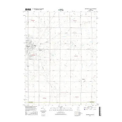
(40)- 1953 Map of Muncie, 1966 Print
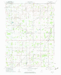
 1953 Muncie1966 Print · USGSIndiana and Ohio borderlands thrive in the early fifties, showing a landscape defined by manufacturing cities and an intensive railroad network. Genealogists can trace family roots across the Indiana-Ohio line through Muncie, Celina, and Portland via the Pennsylvania railroad.5 unique versions available
 - 1956 Map of Muncie
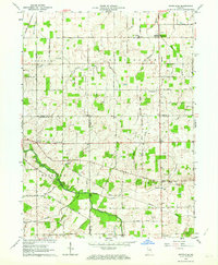
 1956 Muncie1956 Print · USGSEastern Indiana and western Ohio are shown at a peak of rail-driven industry in the mid-fifties. Genealogists and rail historians can trace the paths of the Pennsylvania RR through Muncie or locate landmarks like Lake Saint Marys (Grand Lake Reservoir) and Frances Slocum State Forest.
 - 1960 Map of Pennville, 1961 Print
 1960 Pennville1961 Print · USGSIndiana's eastern farmland is documented here in the early sixties, showing the vital rail and river networks of Jay and Blackford counties. Researchers can locate family landmarks like Maple Lawn Cem, the crossroads of Ridertown, and the Pennsylvania Railroad corridor.2 unique versions available
 - 1960 Map of Hartford City East, 1961 Print
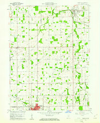
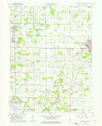
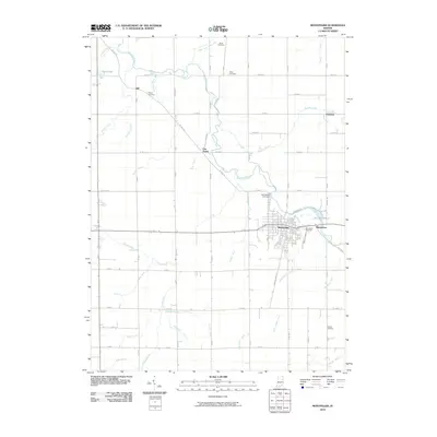
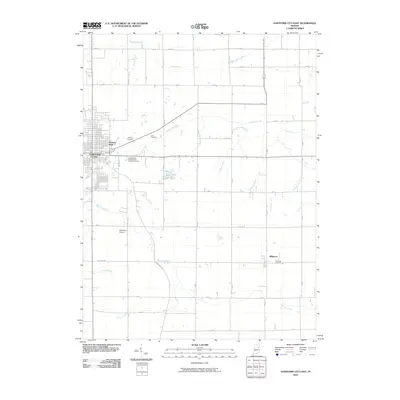
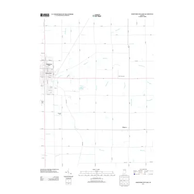
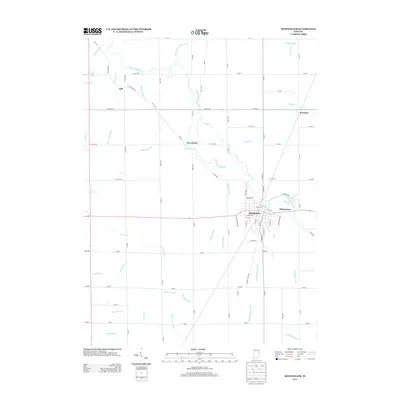
 1960 Hartford City East1961 Print · USGSBlackford County life in the early sixties is anchored by the eastern expansion of Hartford City and the surrounding townships. Researchers can trace family sites from Personett Cemetery to Millgrove, and find mid-century landmarks like the Drive-in Theater.3 unique versions available
 - 1960 Map of Hartford City West, 1976 Print
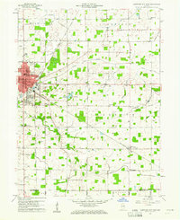
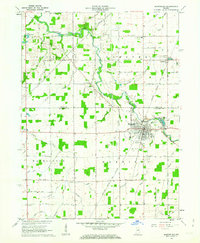
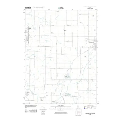
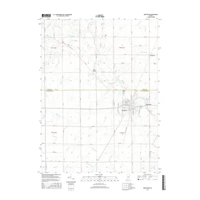
 1960 Hartford City West1976 Print · USGSIndiana's farm and college country comes to life in the late fifties, centered on the growing communities of Hartford City and Upland. Researchers can locate the Purdue University Memorial Farm, the Covered Bridge near Matthews, and several rural landmarks like Shiloh Cem.5 unique versions available
 - 1962 Map of Montpelier, 1963 Print
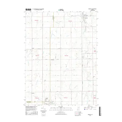
 1962 Montpelier1963 Print · USGSIndiana's eastern farmland and the Salamonie River valley are captured here in the early sixties, showing the transition from rural crossroads to industrial townships. Genealogists can locate family sites like Woodlawn Cem, rural schools such as Chester Center Sch, and the small settlement of Matamoras.
 - 1962 Map of Roll, 1963 Print
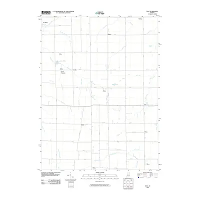
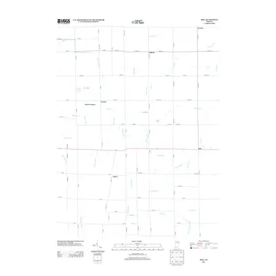
 1962 Roll1963 Print · USGSBlackford and Wells counties in the early sixties remained a deeply rural landscape of grain fields and drainage canals. Family historians can trace ancestral sites like Oak Chapel, the Township Sch, and local burial grounds such as Balsley Cem and Center Cem.3 unique versions available
 - 1962 Map of Petroleum, 1964 Print
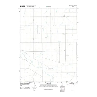
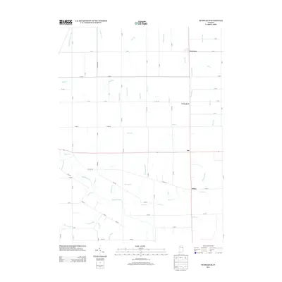
 1962 Petroleum1964 Print · USGSEast-central Indiana's rural landscape is captured here in the early sixties, showing the intersection of three counties along the Salamonie River. Researchers can trace old property lines and community landmarks like Petroleum Sch, Gilead Ch, and the namesake Oil Wells of the region.
 - 1986 Map of Wabash
 1986 Wabash1986 Print · USGSThe Wabash Valley and surrounding Indiana farm country are captured here in the mid-eighties, showing a landscape reshaped by major reservoirs. Genealogists and local historians can trace the paths of the Old Indian Trail and the industrial reach of the Conrail line through towns like Lagro and Warren.2 unique versions available
 - 1986 Map of Muncie
 1986 Muncie1986 Print · USGSEast Central Indiana was a hub of manufacturing and higher education in the mid-eighties. Genealogists and historians can trace the streets of Muncie, locate rural Cem sites, and explore landmarks like Mounds State Park and Taylor Univ.3 unique versions available
 - 2010 Map of Petroleum, 2010 Print
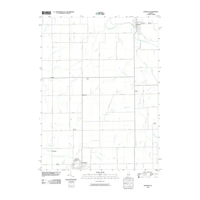
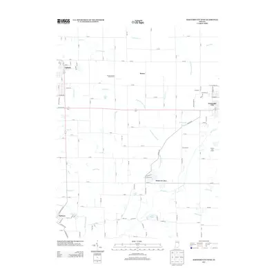
 2010 Petroleum2010 Print · USGSCovers Blackford County, including Nottingham, Pennville, and other nearby areas
 - 2010 Map of Pennville, 2010 Print
 2010 Pennville2010 Print · USGSCovers Blackford County, including Pennville, Dunkirk, and other nearby areas
 - 2010 Map of Montpelier, 2010 Print
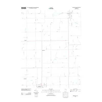
 2010 Montpelier2010 Print · USGSCovers Blackford County, including Montpelier, Matamoras, and other nearby areas
 - 2010 Map of Hartford City West, 2010 Print
 2010 Hartford City West2010 Print · USGSCovers Blackford County, including Hartford City, Upland, and other nearby areas
 - 2010 Map of Hartford City East, 2010 Print
 2010 Hartford City East2010 Print · USGSCovers Blackford County, including Hartford City, Millgrove, and other nearby areas
 - 2010 Map of Roll, 2010 Print
 2010 Roll2010 Print · USGSCovers Blackford County, including Van Buren, Doyle Ferguson, and other nearby areas
 - 2013 Map of Hartford City West, 2013 Print
 2013 Hartford City West2013 Print · USGSCovers Blackford County, including Hartford City, Upland, and other nearby areas
 - 2013 Map of Pennville, 2013 Print
 2013 Pennville2013 Print · USGSCovers Blackford County, including Pennville, Dunkirk, and other nearby areas
 - 2013 Map of Petroleum, 2013 Print
 2013 Petroleum2013 Print · USGSCovers Blackford County, including Nottingham, Pennville, and other nearby areas
 - 2013 Map of Hartford City East, 2013 Print
 2013 Hartford City East2013 Print · USGSCovers Blackford County, including Hartford City, Millgrove, and other nearby areas
 - 2013 Map of Roll, 2013 Print
 2013 Roll2013 Print · USGSCovers Blackford County, including Van Buren, Doyle Ferguson, and other nearby areas
 - 2013 Map of Montpelier, 2013 Print
 2013 Montpelier2013 Print · USGSCovers Blackford County, including Montpelier, Matamoras, and other nearby areas
 - 2016 Map of Pennville, 2016 Print
 2016 Pennville2016 Print · USGSCovers Blackford County, including Pennville, Dunkirk, and other nearby areas
 - 2016 Map of Montpelier, 2016 Print
 2016 Montpelier2016 Print · USGSCovers Blackford County, including Montpelier, Matamoras, and other nearby areas
 - 2016 Map of Hartford City East, 2016 Print
 2016 Hartford City East2016 Print · USGSCovers Blackford County, including Hartford City, Millgrove, and other nearby areas
Showing maps 1-25 of 40
Top cities of Blackford County
Frequently asked questions
- What are the different types of historical maps available for Blackford County?
- What is the oldest map of Blackford County?
- Where can I purchase historical maps of Blackford County for my home or office?
- Where can I download high-res historical maps of Blackford County?
- Are there historical topographic maps available for Blackford County?
- Is there historical aerial imagery available for Blackford County?
- Where are historical maps of Blackford County sourced from?