Old Maps of Riceville, Indiana for Genealogy
Trace your family roots with 13 historic maps of Riceville. These high-res maps reveal old neighborhoods, homesites, landmarks, and streets — helping you uncover where your ancestors lived and how the area evolved over time.
- Explore historic neighborhoods: Identify where your relatives may have lived in the 1800s or 1900s.
- Compare maps over time: Trace the changes in streets, buildings, and landmarks for multi-generational research.
- Perfect for genealogy & ancestry research: Used by family historians and researchers to map out lineage and migration.
These maps are an incredible resource for exploring your personal connection to Riceville's past.
Riceville, IN maps
(13)- 1956 Map of Vincennes, 1967 Print
 1956 Vincennes1967 Print · USGSSouthern Indiana and the Illinois borderlands are captured here in the mid-fifties, showing the region's dense network of river towns and rail lines. Researchers can trace historic river crossings along the Wabash River or locate landmarks like Wyandotte Cave and Lincoln State Park.4 unique versions available
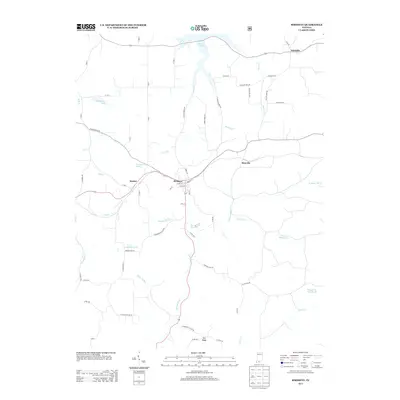
 - 1957 Map of Vincennes
 1957 Vincennes1957 Print · USGSSouthwest Indiana and the Illinois borderlands come alive in the late 1950s, a period of heavy rail traffic and expanding state forests. Genealogists and historians can trace the riverfronts and rail lines of Vincennes, New Harmony, and the vast Crane Naval Ammunition Depot.
 - 1957 Map of Birdseye, 1959 Print
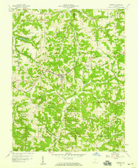 1957 Birdseye1959 Print · USGSSouthern Indiana was a landscape of deep forests and rail-linked towns in the late fifties, where the Southern Railway connected communities across Dubois and Crawford counties. Genealogists and local historians can trace family roots through several remote burial sites and churches, including Waddle Cem, Adkins Cem, and Anderson Valley Ch.2 unique versions available
 - 1958 Map of Vincennes
 1958 Vincennes1958 Print · USGSSouthern Indiana and the Illinois borderlands are captured during a mid-century period of heavy rail traffic and military activity. Researchers can trace the sprawling bounds of the Crane Naval Ammunition Depot or locate historic settlements like New Harmony and French Lick.2 unique versions available
 - 1980 Map of Birdseye, 1981 Print
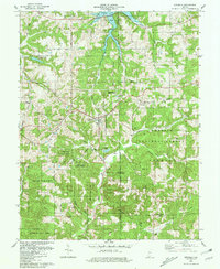 1980 Birdseye1981 Print · USGSBirdseye and the surrounding forest lands of southern Indiana are shown here just as the regional reservoir system reached into the valleys. Genealogists can trace family landmarks and rural burials at Waddle Cem, Spencer Cem, and Blunk Cem tucked among the hills.
 - 1986 Map of Jasper
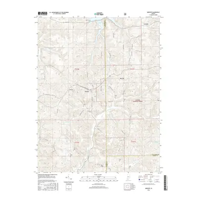
 1986 Jasper1986 Print · USGSSouthern Indiana in the 1980s is defined by the expansive Patoka Lake and the dense timber of the Hoosier National Forest. Researchers can trace the Southern RR through the hills or locate historic sites like Saint Meinrad and Sulphur Springs.
 - 1993 Map of Birdseye, 1996 Print
 1993 Birdseye1996 Print · USGSSouthern Indiana's timbered uplands are captured here in the early nineties, showing the relationship between public forest lands and established rail towns. Genealogists can locate family landmarks like Waddle Cem or trace the rural congregation at Anderson Valley Ch.
 - 1994 Map of Jasper
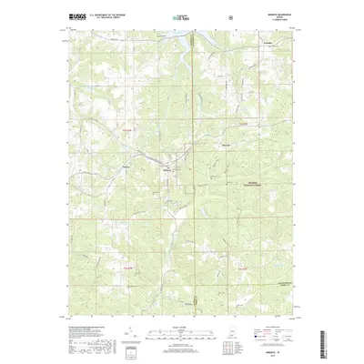
 1994 Jasper1994 Print · USGSSouthern Indiana and the Kentucky borderlands are captured here in the mid-nineties, showing a landscape defined by the Ohio River and dense state forests. Genealogists can locate family landmarks like Saint Meinrad Archabbey, Saint Anthony, and the historic Lincoln Boyhood National Memorial.
 - 2010 Map of Birdseye, 2010 Print
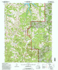
 2010 Birdseye2010 Print · USGSCovers Riceville, including Mentor, Birdseye, and other nearby areas
 - 2013 Map of Birdseye, 2013 Print
 2013 Birdseye2013 Print · USGSCovers Riceville, including Mentor, Birdseye, and other nearby areas
 - 2016 Map of Birdseye, 2016 Print
 2016 Birdseye2016 Print · USGSCovers Riceville, including Mentor, Birdseye, and other nearby areas
 - 2019 Map of Birdseye, 2019 Print
 2019 Birdseye2019 Print · USGSCovers Riceville, including Mentor, Birdseye, and other nearby areas
 - 2022 Map of Birdseye, 2022 Print
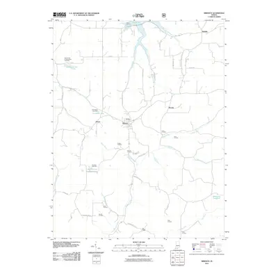
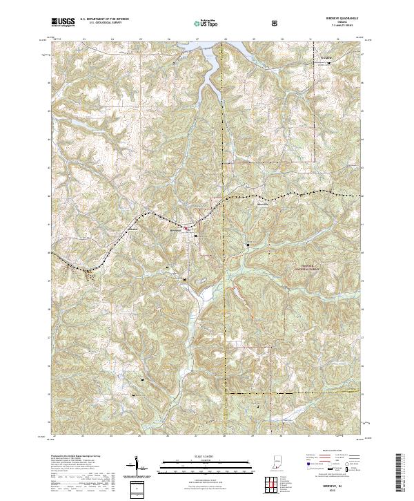 2022 Birdseye2022 Print · USGSSouthern Indiana's forested hills and the headwaters of the Anderson River define this area as it appeared in the early 2020s. Genealogists and local historians can trace legacy sites like Birdseye Cem, Blunk Cem, and the small community of Wickliffe.
End of results
Showing maps 1-13 of 13
Top cities near Riceville
- Paoli historical maps
- Ferdinand historical maps
- French Lick historical maps
- Leopold historical maps
- English historical maps
Frequently asked questions
- What are the different types of historical maps available for Riceville?
- What is the oldest map of Riceville?
- Where can I purchase historical maps of Riceville for my home or office?
- Where can I download high-res historical maps of Riceville?
- Are there historical topographic maps available for Riceville?
- Is there historical aerial imagery available for Riceville?
- Where are historical maps of Riceville sourced from?