Old Maps of Rochester, Indiana for Hiking & Exploration
Hike through history with 10 historic maps of Rochester. Explore old trails, ghost towns, and forgotten backroads — perfect for outdoor adventurers and local explorers.
- Rediscover forgotten places: Map out old mining camps, roads, and footpaths that no longer exist on modern maps.
- Layer with modern tools: Combine with LiDAR or satellite views to plan hikes through historical terrain.
- Made for exploration: Popular among hikers, overlanders, and local history lovers.
Use these maps to find adventure and explore the hidden past of Rochester.
Rochester, IN maps
(10)- 1953 Map of Chicago, 1964 Print
 1953 Chicago1964 Print · USGSThe southern Lake Michigan shoreline was rapidly modernizing in the mid-fifties, balancing heavy industry with its famous academic centers. Researchers can trace the footprints of Notre Dame University or locate vanished sites like the Kingsbury Ordnance Plant and Meigs Field.5 unique versions available
 - 1957 Map of Chicago
 1957 Chicago1957 Print · USGSThe industrial heartland and southern Great Lakes shoreline are captured here during the peak of mid-century growth. Researchers can trace the massive Gary Steel Works, the grounds of the University of Notre Dame, and the early paths of the Tri-State Tollway.
 - 1962 Map of Rochester, 1964 Print
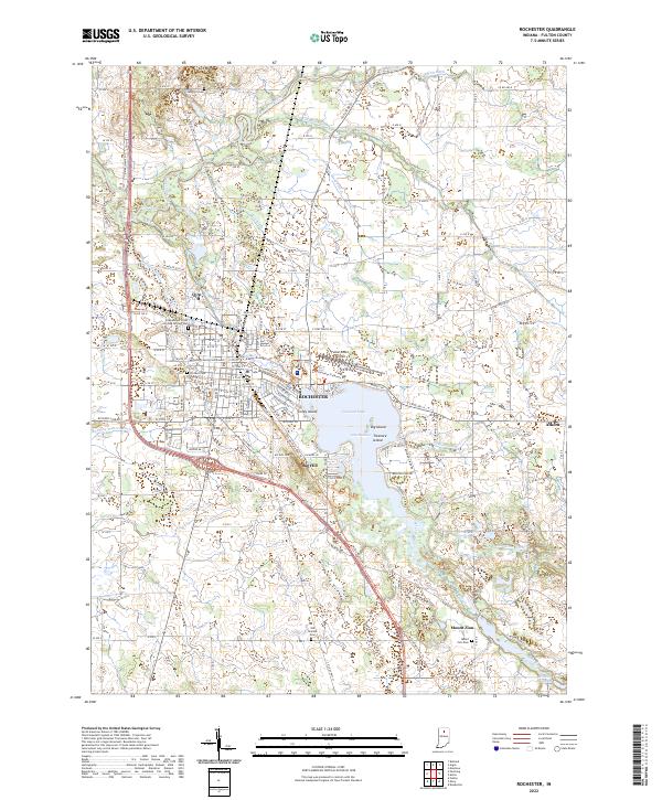
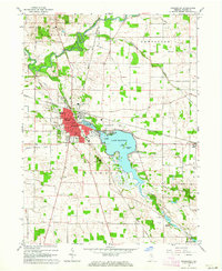 1962 Rochester1964 Print · USGSRochester and the surrounding Fulton County countryside are captured here in the early sixties as a bustling rail and water hub. Researchers can trace family history through sites like Sand Hill Cem, Riddle Sch, and the Mt Zion Millpond.2 unique versions available
 - 1984 Map of Knox, 1985 Print
 1984 Knox1985 Print · USGSNorthern Indiana's glacial lake country is captured in the mid-eighties, showing a landscape defined by the Kankakee River and major rail lines. Genealogists and historians can trace family ties through lakefront settlements like Lake Maxinkuckee and Bass Lake or the Old Indian Treaty Boundary.2 unique versions available
 - 1992 Map of Rochester, 1995 Print
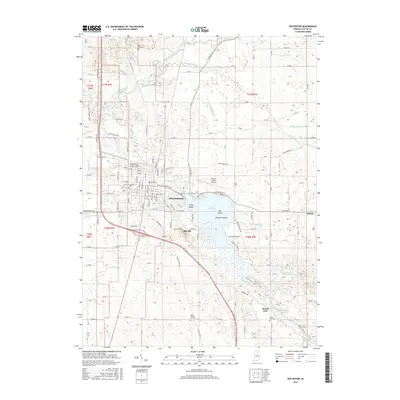
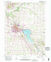 1992 Rochester1995 Print · USGSRochester and the surrounding Fulton County countryside are captured here in the mid-1990s as the town expanded around the shores of Lake Manitou. Local historians can trace family locations near Sand Hill Cem, the Erie Railroad line, or the outlying settlement of Athens.
 - 2010 Map of Rochester, 2010 Print
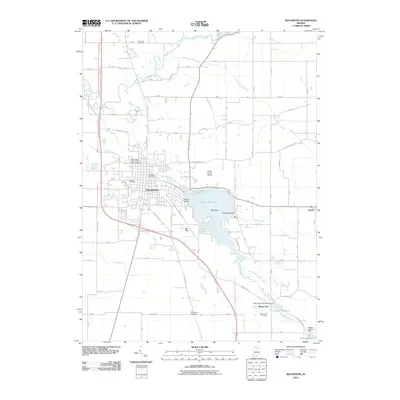 2010 Rochester2010 Print · USGSCovers Rochester, including Mount Zion, Athens, and other nearby areas
 - 2013 Map of Rochester, 2013 Print
 2013 Rochester2013 Print · USGSCovers Rochester, including Mount Zion, Athens, and other nearby areas
 - 2016 Map of Rochester, 2016 Print
 2016 Rochester2016 Print · USGSCovers Rochester, including Mount Zion, Athens, and other nearby areas
 - 2019 Map of Rochester, 2019 Print
 2019 Rochester2019 Print · USGSCovers Rochester, including Mount Zion, Athens, and other nearby areas
 - 2022 Map of Rochester, 2022 Print
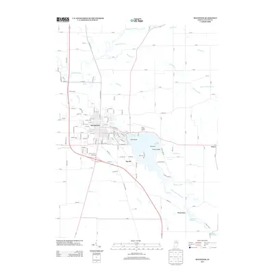
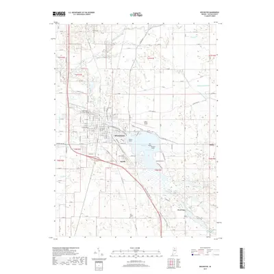
 2022 Rochester2022 Print · USGSRochester and the surrounding Fulton County countryside are shown here in the 2020s, centered on the expansive Lake Manitou. Researchers can trace local heritage through the Fulton County Courthouse, the Nickle Plate Rail-Trl, and several cemeteries like Sand Hill Cem.
End of results
Showing maps 1-10 of 10
Top cities near Rochester
- Walnut historical maps
- Argos historical maps
- Culver historical maps
- Tippecanoe historical maps
- Akron historical maps
- Mentone historical maps
See more
Frequently asked questions
- What are the different types of historical maps available for Rochester?
- What is the oldest map of Rochester?
- Where can I purchase historical maps of Rochester for my home or office?
- Where can I download high-res historical maps of Rochester?
- Are there historical topographic maps available for Rochester?
- Is there historical aerial imagery available for Rochester?
- Where are historical maps of Rochester sourced from?