Old Maps of Marco, Indiana for Genealogy
Trace your family roots with 11 historic maps of Marco. These high-res maps reveal old neighborhoods, homesites, landmarks, and streets — helping you uncover where your ancestors lived and how the area evolved over time.
- Explore historic neighborhoods: Identify where your relatives may have lived in the 1800s or 1900s.
- Compare maps over time: Trace the changes in streets, buildings, and landmarks for multi-generational research.
- Perfect for genealogy & ancestry research: Used by family historians and researchers to map out lineage and migration.
These maps are an incredible resource for exploring your personal connection to Marco's past.
Marco, IN maps
(11)- 1943 Map of Sandborn
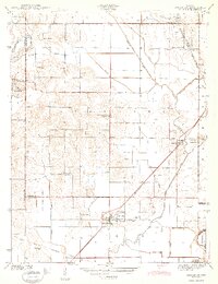 1943 Sandborn1943 Print · USGSIn the early 1940s, this portion of Knox and Greene Counties was a busy corridor for coal mining and rail transport. Researchers can trace family history through local landmarks like Marco Cem, Pleasant Grove Ch, and the many Strip Mine works near Sponsler.2 unique versions available
 - 1956 Map of Vincennes, 1967 Print
 1956 Vincennes1967 Print · USGSSouthern Indiana and the Illinois borderlands are captured here in the mid-fifties, showing the region's dense network of river towns and rail lines. Researchers can trace historic river crossings along the Wabash River or locate landmarks like Wyandotte Cave and Lincoln State Park.4 unique versions available
 - 1957 Map of Vincennes
 1957 Vincennes1957 Print · USGSSouthwest Indiana and the Illinois borderlands come alive in the late 1950s, a period of heavy rail traffic and expanding state forests. Genealogists and historians can trace the riverfronts and rail lines of Vincennes, New Harmony, and the vast Crane Naval Ammunition Depot.
 - 1958 Map of Vincennes
 1958 Vincennes1958 Print · USGSSouthern Indiana and the Illinois borderlands are captured during a mid-century period of heavy rail traffic and military activity. Researchers can trace the sprawling bounds of the Crane Naval Ammunition Depot or locate historic settlements like New Harmony and French Lick.2 unique versions available
 - 1958 Map of Sandborn, 1959 Print
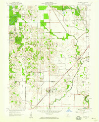 1958 Sandborn1959 Print · USGSThe Knox and Greene county borderlands come into focus in the late fifties, showing a rural landscape shaped by the White River and a network of drainage ditches. Researchers can trace historic family locations at Sandborn Cem and Marco, or locate the path of the Indian Treaty Boundary.2 unique versions available
 - 1986 Map of Vincennes
 1986 Vincennes1986 Print · USGSThe Wabash River valley in the mid-1980s shows a landscape defined by deep-rooted river towns and heavy industry. Researchers can trace the legacy of regional rail lines like the Conrail system or locate landmarks such as Vincennes University and St Francisville Church.2 unique versions available
 - 2010 Map of Sandborn, 2010 Print
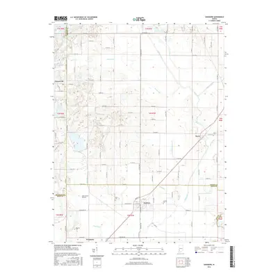
 2010 Sandborn2010 Print · USGSCovers Marco, including Sandborn, Knox County, and other nearby areas
 - 2013 Map of Sandborn, 2013 Print
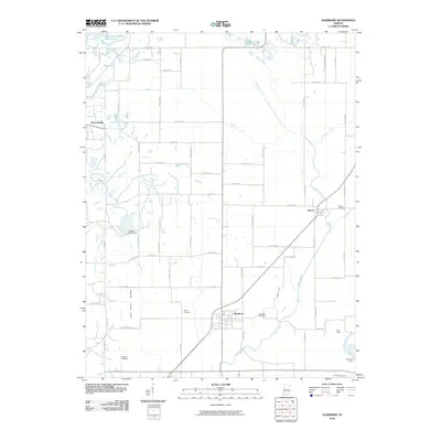
 2013 Sandborn2013 Print · USGSCovers Marco, including Sandborn, Knox County, and other nearby areas
 - 2016 Map of Sandborn, 2016 Print
 2016 Sandborn2016 Print · USGSCovers Marco, including Sandborn, Knox County, and other nearby areas
 - 2019 Map of Sandborn, 2019 Print
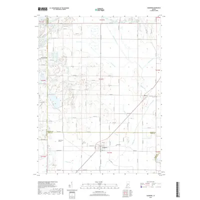 2019 Sandborn2019 Print · USGSCovers Marco, including Sandborn, Knox County, and other nearby areas
 - 2022 Map of Sandborn, 2022 Print
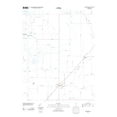
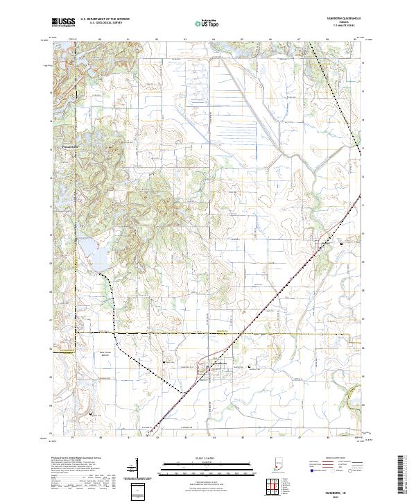 2022 Sandborn2022 Print · USGSIndiana's farm country and the intricate drainage of the Wabash River basin are captured here in the early twenty-first century. Genealogists and local historians can locate Sandborn Cem, trace the rail-adjacent town of Marco, or explore the Cane Green Bottom wetlands.
End of results
Showing maps 1-11 of 11
Top cities near Marco
- Linton historical maps
- Bicknell historical maps
- Bloomfield historical maps
- Jasonville historical maps
- Cass historical maps
- Worthington historical maps
See more
Frequently asked questions
- What are the different types of historical maps available for Marco?
- What is the oldest map of Marco?
- Where can I purchase historical maps of Marco for my home or office?
- Where can I download high-res historical maps of Marco?
- Are there historical topographic maps available for Marco?
- Is there historical aerial imagery available for Marco?
- Where are historical maps of Marco sourced from?