Old Maps of Merrillville, Ross Township
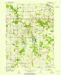
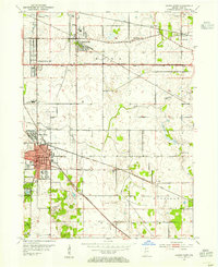
Explore 24 old maps of Merrillville, spanning from 1900 to today. These high-resolution historic maps reveal how streets, neighborhoods, landmarks, and natural features evolved over time — perfect for genealogy, metal detecting, research, and local history exploration.
What you can do with these maps:
- See how Merrillville changed over time: Compare historical maps to modern-day views to trace roads, homesites, rail lines & more.
- View detailed metadata: Each map includes creators, publishers, year, scale, and archive source.
- Overlay maps with satellite & LiDAR: Visualize the past alongside modern tools to explore terrain & human change.
- Trusted historical sources: Maps sourced from the USGS, Library of Congress, and other archives.
- Access maps your way: View online, download high-res files, or order prints for personal or research use.
Start exploring old maps of Merrillville to uncover forgotten places, hidden landmarks, and the deep history beneath your feet.
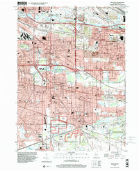
Merrillville, Ross Township maps
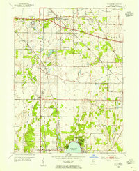
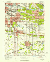
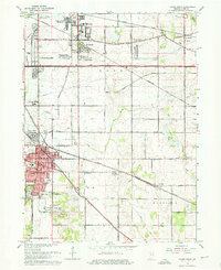
(24)- 1900 Map of Toleston
 1900 Toleston1900 Print · USGSCovers Merrillville, including Hammond, Gary, and other nearby areas6 unique versions available
 - 1953 Map of St. John, 1955 Print
 1953 St. John1955 Print · USGSCovers Merrillville, including Schererville, Crown Point, and other nearby areas
 - 1953 Map of Palmer, 1955 Print
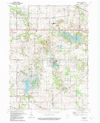
 1953 Palmer1955 Print · USGSCovers Merrillville, including Hobart, Winfield, and other nearby areas
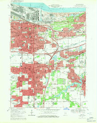
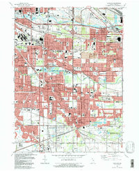
 - 1953 Map of Gary, 1955 Print
 1953 Gary1955 Print · USGSCovers Merrillville, including Gary, Hobart, and other nearby areas
 - 1953 Map of Crown Point, 1955 Print
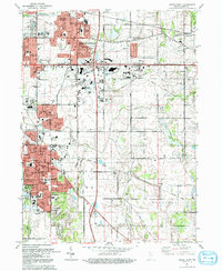
 1953 Crown Point1955 Print · USGSCovers Merrillville, including Hobart, Crown Point, and other nearby areas
 - 1953 Map of Highland, 1955 Print
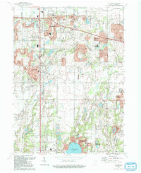
 1953 Highland1955 Print · USGSCovers Merrillville, including Hammond, Gary, and other nearby areas
 - 1953 Map of Chicago, 1964 Print
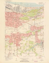
 1953 Chicago1964 Print · USGSCovers Merrillville, including Chicago, Joliet, and other nearby areas5 unique versions available
 - 1957 Map of Chicago
 1957 Chicago1957 Print · USGSCovers Merrillville, including Chicago, Joliet, and other nearby areas
 - 1959 Map of Gary, 1961 Print
 1959 Gary1961 Print · USGSCovers Merrillville, including Gary, Hobart, and other nearby areas
 - 1959 Map of Highland, 1961 Print
 1959 Highland1961 Print · USGSCovers Merrillville, including Hammond, Gary, and other nearby areas
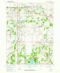
 - 1962 Map of Palmer, 1964 Print
 1962 Palmer1964 Print · USGSCovers Merrillville, including Hobart, Winfield, and other nearby areas3 unique versions available
 - 1962 Map of Crown Point, 1964 Print
 1962 Crown Point1964 Print · USGSCovers Merrillville, including Hobart, Crown Point, and other nearby areas4 unique versions available
 - 1962 Map of St. John, 1964 Print
 1962 St. John1964 Print · USGSCovers Merrillville, including Schererville, Crown Point, and other nearby areas2 unique versions available
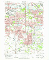
 - 1968 Map of Gary, 1970 Print
 1968 Gary1970 Print · USGSCovers Merrillville, including Gary, Hobart, and other nearby areas3 unique versions available
 - 1968 Map of Highland, 1971 Print
 1968 Highland1971 Print · USGSCovers Merrillville, including Hammond, Gary, and other nearby areas3 unique versions available
 - 1980 Map of Chicago
 1980 Chicago1980 Print · USGSCovers Merrillville, including Chicago, Joliet, and other nearby areas
 - 1984 Map of Kankakee, 1985 Print
 1984 Kankakee1985 Print · USGSCovers Merrillville, including Kankakee, Valparaiso, and other nearby areas
 - 1991 Map of Kankakee
 1991 Kankakee1991 Print · USGSCovers Merrillville, including Kankakee, Valparaiso, and other nearby areas
 - 1991 Map of Gary
 1991 Gary1991 Print · USGSCovers Merrillville, including Gary, Hobart, and other nearby areas2 unique versions available
 - 1991 Map of Highland, 1992 Print
 1991 Highland1992 Print · USGSCovers Merrillville, including Hammond, Gary, and other nearby areas
 - 1992 Map of Palmer
 1992 Palmer1992 Print · USGSCovers Merrillville, including Hobart, Winfield, and other nearby areas
 - 1992 Map of Crown Point
 1992 Crown Point1992 Print · USGSCovers Merrillville, including Hobart, Crown Point, and other nearby areas
 - 1992 Map of St. John
 1992 St. John1992 Print · USGSCovers Merrillville, including Schererville, Crown Point, and other nearby areas
 - 1998 Map of Highland, 2001 Print
 1998 Highland2001 Print · USGSCovers Merrillville, including Hammond, Gary, and other nearby areas
End of results
Showing maps 1-24 of 24
Top cities near Merrillville
- Chicago historical maps
- Hammond historical maps
- Gary historical maps
- Portage historical maps
- Calumet City historical maps
- Valparaiso historical maps
See more
Top neighborhoods of Merrillville
- Deep River historical maps
- Turkey Creek Meadows historical maps
- Independence Hill historical maps
- Chapel Manor historical maps
- Lincoln Village historical maps
- Lottaville historical maps
See more
Frequently asked questions
- What are the different types of historical maps available for Merrillville?
- What is the oldest map of Merrillville?
- Where can I purchase historical maps of Merrillville for my home or office?
- Where can I download high-res historical maps of Merrillville?
- Are there historical topographic maps available for Merrillville?
- Is there historical aerial imagery available for Merrillville?
- Where are historical maps of Merrillville sourced from?