Old Maps of Valparaiso, Indiana
Explore 31 old maps of Valparaiso, spanning from 1934 to today. These high-resolution historic maps reveal how streets, neighborhoods, landmarks, and natural features evolved over time — perfect for genealogy, metal detecting, research, and local history exploration.
What you can do with these maps:
- See how Valparaiso changed over time: Compare historical maps to modern-day views to trace roads, homesites, rail lines & more.
- View detailed metadata: Each map includes creators, publishers, year, scale, and archive source.
- Overlay maps with satellite & LiDAR: Visualize the past alongside modern tools to explore terrain & human change.
- Trusted historical sources: Maps sourced from the USGS, Library of Congress, and other archives.
- Access maps your way: View online, download high-res files, or order prints for personal or research use.
Start exploring old maps of Valparaiso to uncover forgotten places, hidden landmarks, and the deep history beneath your feet.
Valparaiso, IN maps
(31)- 1934 Map of Porter
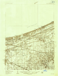 1934 Porter1934 Print · USGSThe Indiana shoreline of the mid-1930s is mapped here in detail, from the sands of Indiana Dunes State Park to the rail hubs of Chesterton. Trace local family history through sites like the Seven Dolors Shrine, Liberty Center Sch, and the Mc Cool Emergency Landing Field.
 - 1940 Map of Porter
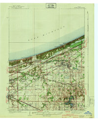 1940 Porter1940 Print · USGSPorter County's industrial and shoreline heritage is captured here in the years before World War II. Researchers can locate early lakefront settlements like Baillytown or trace the routes of the Wabash and Pere Marquette railroads past Tratebas Mill.3 unique versions available
 - 1953 Map of Wanatah, 1955 Print
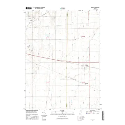
 1953 Wanatah1955 Print · USGSIn the early 1950s, this area of Indiana was a bustling rail corridor where several major lines converged at Wanatah. Trace the path of the Lincoln Highway and find rural landmarks like Luther Cem and Haskells.
 - 1953 Map of Valparaiso, 1955 Print
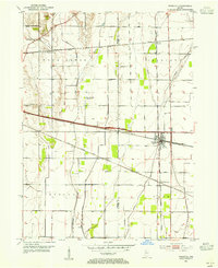
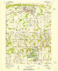
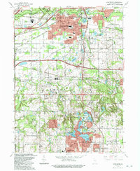
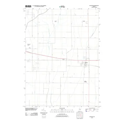
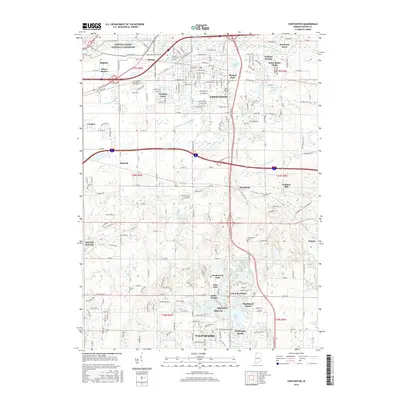
 1953 Valparaiso1955 Print · USGSValparaiso and the surrounding Porter County townships are captured here in the mid-fifties, during a period of steady institutional and rural growth. Genealogists and local historians can trace family plots at Adam Cem, locate the old Morgan Sch, or follow the historic Lincoln Highway through town.
 - 1953 Map of Chesterton, 1955 Print
 1953 Chesterton1955 Print · USGSPorter County's industrial and recreational landscape is captured here in the mid-fifties, centered on the busy rail junctions of Chesterton and Porter. Researchers can trace historic family burial sites at Gossett Cemetery and follow the old milling operations at Tratabas Mill.
 - 1953 Map of Chicago, 1964 Print
 1953 Chicago1964 Print · USGSThe southern Lake Michigan shoreline was rapidly modernizing in the mid-fifties, balancing heavy industry with its famous academic centers. Researchers can trace the footprints of Notre Dame University or locate vanished sites like the Kingsbury Ordnance Plant and Meigs Field.5 unique versions available
 - 1957 Map of Chicago
 1957 Chicago1957 Print · USGSThe industrial heartland and southern Great Lakes shoreline are captured here during the peak of mid-century growth. Researchers can trace the massive Gary Steel Works, the grounds of the University of Notre Dame, and the early paths of the Tri-State Tollway.
 - 1962 Map of Chesterton, 1964 Print
 1962 Chesterton1964 Print · USGSNorthwestern Indiana in the early sixties was a landscape of expanding suburbs and historic rail corridors. Genealogists and local historians can trace family sites at Chesterton Cemetery, Augsburg Ch, and rural outposts like Tratebas Mill or Crocker.4 unique versions available
 - 1962 Map of Valparaiso, 1964 Print
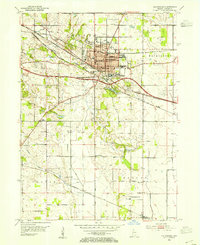
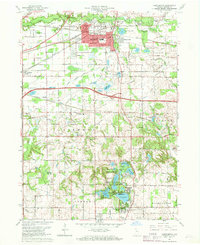
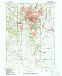
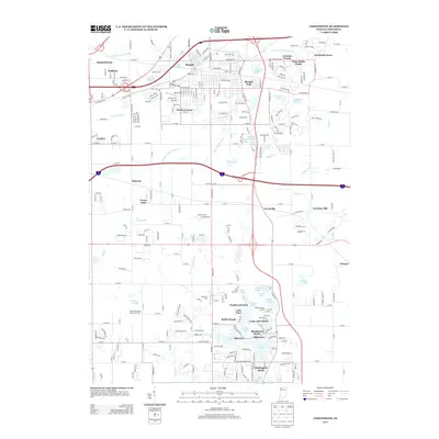
 1962 Valparaiso1964 Print · USGSValparaiso and its surrounding townships in the early sixties show a region transitioning from traditional farmland to modern suburban expansion. Genealogists and historians can trace family locations at Graceland Cemetery or locate old schoolhouses like Morgan Sch and the Shults-Lewis Childrens Home.4 unique versions available
 - 1972 Map of Wanatah, 1974 Print
 1972 Wanatah1974 Print · USGSLaPorte County was a busy railroad crossroads in the early 1970s, defined by the meeting of three major rail lines. Genealogists and rail historians can trace the tracks of the Penn Central and Norfolk and Western near Wanatah and Sacred Heart Ch.
 - 1980 Map of Chicago
 1980 Chicago1980 Print · USGSThe Chicago metropolitan area and the industrial shores of Northwest Indiana are captured here at the start of the 1980s. Genealogists and local historians can trace the vast urban landscape through landmarks like Loyola University, St Casimir Cemetery, and the busy docks of Calumet Harbor.
 - 1984 Map of Kankakee, 1985 Print
 1984 Kankakee1985 Print · USGSThe Illinois-Indiana borderlands appear here in the early eighties as a landscape of river-centered towns and vast managed wetlands. Genealogists and local historians can trace the grounds of the Kankakee State Hospital, the campus of Olivet Nazarene College, and the sprawling Beaver Lake Wildlife Refuge.
 - 1984 Map of Knox, 1985 Print
 1984 Knox1985 Print · USGSNorthern Indiana's glacial lake country is captured in the mid-eighties, showing a landscape defined by the Kankakee River and major rail lines. Genealogists and historians can trace family ties through lakefront settlements like Lake Maxinkuckee and Bass Lake or the Old Indian Treaty Boundary.2 unique versions available
 - 1991 Map of Kankakee
 1991 Kankakee1991 Print · USGSThe Illinois-Indiana borderlands come into focus during the early nineties, centered on the growing Kankakee valley and its sprawling drainage systems. Trace the rail-and-river economy through landmarks like the Wilton Railroad Grade, the Manteno State Hospital, and the historic Old Pioneer Cem.
 - 1991 Map of Chesterton, 1992 Print
 1991 Chesterton1992 Print · USGSIn the early nineties, the lakefront communities of Northwest Indiana were defined by their proximity to the dunes and heavy rail lines. Genealogists and historians can trace family sites at Augsburg Cem & Ch, the Old Indian Treaty Boundary, and the historic settlement of Crocker.
 - 1992 Map of Valparaiso
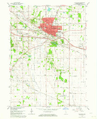
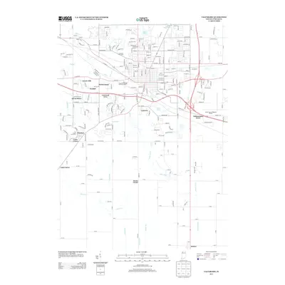
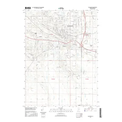
 1992 Valparaiso1992 Print · USGSThe city of Valparaiso and its surrounding townships are shown here during a period of late-twentieth-century growth. Researchers can trace historical footprints at Valparaiso University, the Fairground, and various rural crossroads like Cobbs Corner and Malden.
 - 2010 Map of Chesterton, 2010 Print
 2010 Chesterton2010 Print · USGSCovers Valparaiso, including Portage, Chesterton, and other nearby areas
 - 2010 Map of Valparaiso, 2010 Print
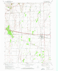
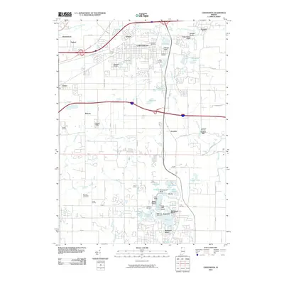
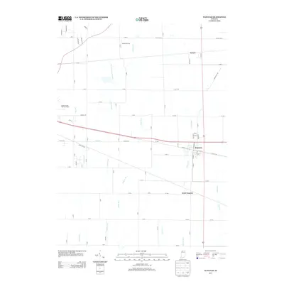
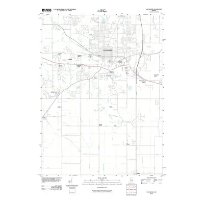 2010 Valparaiso2010 Print · USGSCovers Valparaiso, including Coolwood Acres, Smoke Corner, and other nearby areas
 - 2010 Map of Wanatah, 2010 Print
 2010 Wanatah2010 Print · USGSCovers Valparaiso, including Wanatah, South Wanatah, and other nearby areas
 - 2013 Map of Valparaiso, 2013 Print
 2013 Valparaiso2013 Print · USGSCovers Valparaiso, including Coolwood Acres, Smoke Corner, and other nearby areas
 - 2013 Map of Wanatah, 2013 Print
 2013 Wanatah2013 Print · USGSCovers Valparaiso, including Wanatah, South Wanatah, and other nearby areas
 - 2013 Map of Chesterton, 2013 Print
 2013 Chesterton2013 Print · USGSCovers Valparaiso, including Portage, Chesterton, and other nearby areas
 - 2016 Map of Chesterton, 2016 Print
 2016 Chesterton2016 Print · USGSCovers Valparaiso, including Portage, Chesterton, and other nearby areas
 - 2016 Map of Valparaiso, 2016 Print
 2016 Valparaiso2016 Print · USGSCovers Valparaiso, including Coolwood Acres, Smoke Corner, and other nearby areas
 - 2016 Map of Wanatah, 2016 Print
 2016 Wanatah2016 Print · USGSCovers Valparaiso, including Wanatah, South Wanatah, and other nearby areas
Showing maps 1-25 of 31
Top cities near Valparaiso
- Gary historical maps
- Portage historical maps
- Michigan City historical maps
- Merrillville historical maps
- Hobart historical maps
- Lake Station historical maps
See more
Top neighborhoods of Valparaiso
Frequently asked questions
- What are the different types of historical maps available for Valparaiso?
- What is the oldest map of Valparaiso?
- Where can I purchase historical maps of Valparaiso for my home or office?
- Where can I download high-res historical maps of Valparaiso?
- Are there historical topographic maps available for Valparaiso?
- Is there historical aerial imagery available for Valparaiso?
- Where are historical maps of Valparaiso sourced from?