2000s (21st Century) Maps of Valparaiso, Indiana
Explore 15 historic maps of Valparaiso from the 2000s (21st Century). These maps offer a rare glimpse into what life looked like during the 2000s — showing old roads, neighborhoods, homes, and landmarks that have changed or disappeared over time.
Whether you're researching your family's past, planning a metal detecting trip, or studying how Valparaiso's landscape evolved across the 2000s, these high-resolution maps are a powerful tool for exploring the history of this region.
- Focus on a specific era: All maps on this page are from the 2000s, giving you a focused view of this time period.
- See what’s changed: Compare century-old streets, trails, and buildings to today's modern landscape using overlays and satellite layers.
- Research with precision: Use these maps for genealogy, historical research, land use analysis, or educational projects.
- View, download, or print: Maps are fully viewable online in high resolution, and can be downloaded or printed for your own records.
Start exploring Valparaiso's history through authentic maps from the 2000s. This is your window into the past.
Valparaiso, IN maps
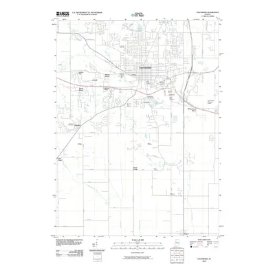
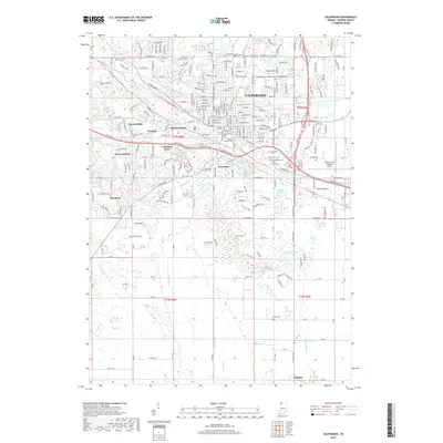
(15)- 2010 Map of Chesterton, 2010 Print
 2010 Chesterton2010 Print · USGSCovers Valparaiso, including Portage, Chesterton, and other nearby areas
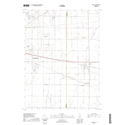
 - 2010 Map of Valparaiso, 2010 Print
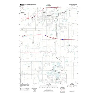
 2010 Valparaiso2010 Print · USGSCovers Valparaiso, including Coolwood Acres, Smoke Corner, and other nearby areas
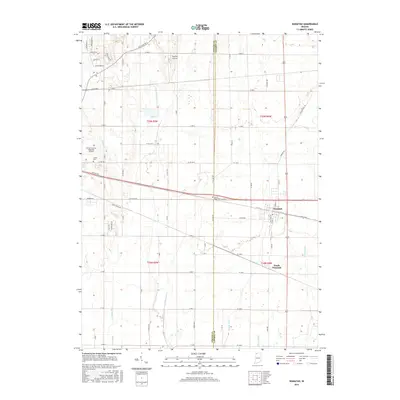
 - 2010 Map of Wanatah, 2010 Print
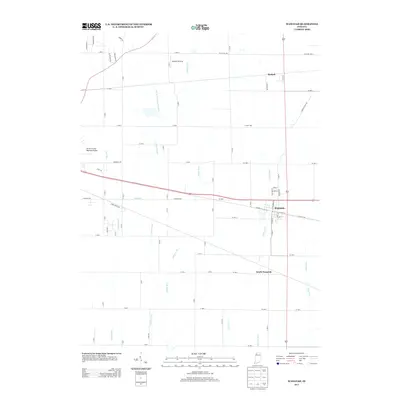
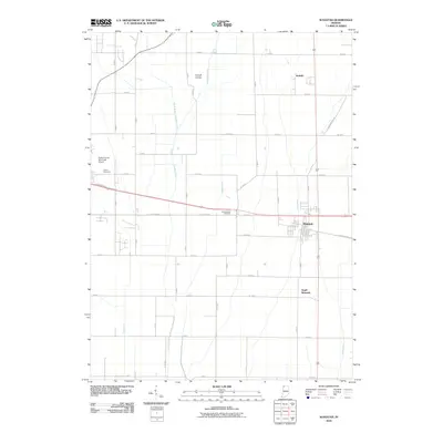 2010 Wanatah2010 Print · USGSCovers Valparaiso, including Wanatah, South Wanatah, and other nearby areas
 - 2013 Map of Valparaiso, 2013 Print
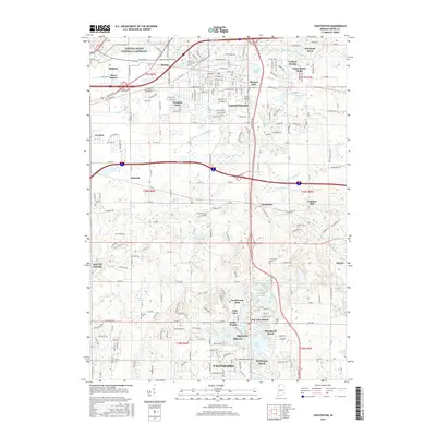
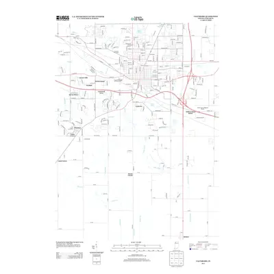 2013 Valparaiso2013 Print · USGSCovers Valparaiso, including Coolwood Acres, Smoke Corner, and other nearby areas
 - 2013 Map of Wanatah, 2013 Print
 2013 Wanatah2013 Print · USGSCovers Valparaiso, including Wanatah, South Wanatah, and other nearby areas
 - 2013 Map of Chesterton, 2013 Print
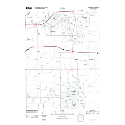 2013 Chesterton2013 Print · USGSCovers Valparaiso, including Portage, Chesterton, and other nearby areas
 - 2016 Map of Chesterton, 2016 Print
 2016 Chesterton2016 Print · USGSCovers Valparaiso, including Portage, Chesterton, and other nearby areas
 - 2016 Map of Valparaiso, 2016 Print
 2016 Valparaiso2016 Print · USGSCovers Valparaiso, including Coolwood Acres, Smoke Corner, and other nearby areas
 - 2016 Map of Wanatah, 2016 Print
 2016 Wanatah2016 Print · USGSCovers Valparaiso, including Wanatah, South Wanatah, and other nearby areas
 - 2019 Map of Valparaiso, 2019 Print
 2019 Valparaiso2019 Print · USGSCovers Valparaiso, including Coolwood Acres, Smoke Corner, and other nearby areas
 - 2019 Map of Wanatah, 2019 Print
 2019 Wanatah2019 Print · USGSCovers Valparaiso, including Wanatah, South Wanatah, and other nearby areas
 - 2019 Map of Chesterton, 2019 Print
 2019 Chesterton2019 Print · USGSCovers Valparaiso, including Portage, Chesterton, and other nearby areas
 - 2022 Map of Wanatah, 2022 Print
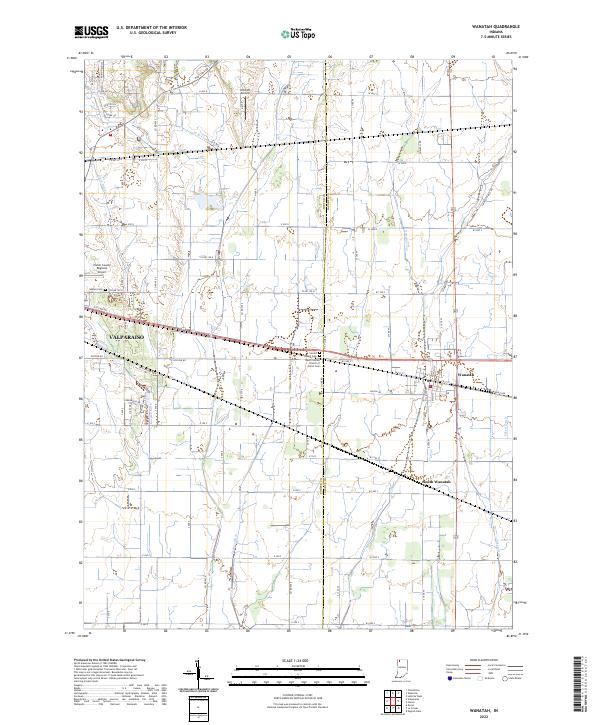 2022 Wanatah2022 Print · USGSThe rural borderlands between Porter and LaPorte counties are captured here in the early 2020s, revealing an intricate grid of agricultural drainage and aviation history. Genealogists and local historians can locate Sacred Heart Cem and South Wanatah or trace the path of Greiger Ditch.
 - 2022 Map of Valparaiso, 2022 Print
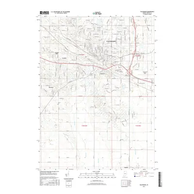
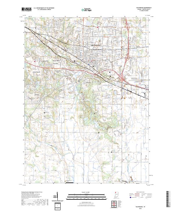 2022 Valparaiso2022 Print · USGSPorter County's urban and rural transition is visible here in the early twenty-first century, centered on the seat of Valparaiso. Genealogists and historians can trace local family lineages at Fleming Cem, Maplewood Cem, and the historic campus of Valparaiso University.
 - 2022 Map of Chesterton, 2022 Print
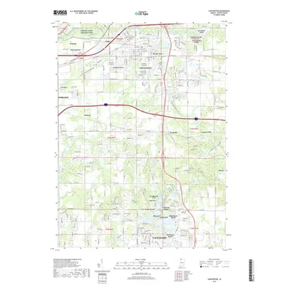
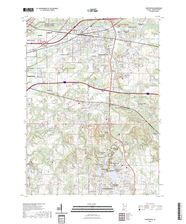 2022 Chesterton2022 Print · USGSPorter County's dunelands and glacial lake district are captured in this recent survey of the Chesterton and Valparaiso corridor. Researchers can pinpoint long-standing landmarks like Tratebas Mill, Saint Patricks Cem, and the small settlement of Suman.
End of results
Showing maps 1-15 of 15
Top cities near Valparaiso
- Gary historical maps
- Portage historical maps
- Michigan City historical maps
- Merrillville historical maps
- Hobart historical maps
- Lake Station historical maps
See more
Top neighborhoods of Valparaiso
Frequently asked questions
- What are the different types of historical maps available for Valparaiso?
- What is the oldest map of Valparaiso?
- Where can I purchase historical maps of Valparaiso for my home or office?
- Where can I download high-res historical maps of Valparaiso?
- Are there historical topographic maps available for Valparaiso?
- Is there historical aerial imagery available for Valparaiso?
- Where are historical maps of Valparaiso sourced from?