Loading...
Loading map...2022 Map of Wanatah
USGS Topo · Published 2022About this map
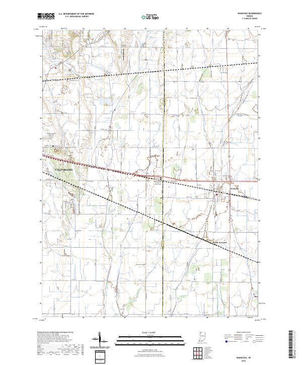
Wanatah and South Wanatah anchor this rural landscape along the eastern edge of Valparaiso, where the terrain is defined by an extensive network of managed waterways including Koselke Ditch, Greiger Ditch, and Eckert Ditch. The survey highlights the intersection of transportation and local history, featuring the Porter County Regional Airport and the smaller Wyckoff Airstrip alongside established burial grounds like Luther Cem and the Salem United Church of Christ Cem.
Find a feature on this map
55 named features on this map. Tap any name to fly to it.
Don’t see what you’re looking for? This feature index may not catch every label — zoom into the map to look around manually.
Map Details
Date Portrayed2022
Date Published2022
PublisherU.S. Geological Survey
Map TypeTopographic
Scale1:24000
Physical Dimensions24 x 29 inches
Editions of this 2022 Wanatah Map
This is the sole edition of this map. No revisions or reprints were ever made.
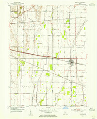
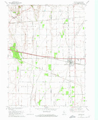
Historical Maps of Valparaiso Through Time
3 maps found
Featured Locations
Source Details
SourceU.S. Geological Survey
CopyrightPublic Domain