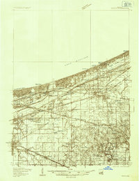
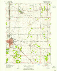
1934 Map of Porter
USGS Topo · Published 1934About this map
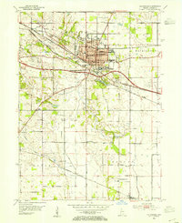
Indiana Dunes State Park dominates the shoreline of Lake Michigan in this mid-1930s survey, showing a landscape defined by its coastal dunes and a dense web of industrial transportation. The map reveals the intricate rail infrastructure serving Northwest Indiana, including the Chicago South Shore and South Bend RR and the Elgin Joliet and Eastern Ry. Settlement patterns are diverse, ranging from the lakeside colonies at Dune Acres and Beverly Shores to established inland communities like Chesterton and Porter. Early aviation infrastructure is prominent, marked by an Airway Beacon and the Mc Cool Emergency Landing Field. Religious and community life is anchored by landmarks such as the Seven Dolors Shrine and Temple of the Israel, while numerous small schoolhouses like Liberty Sch and cemeteries like Kinne Cem provide essential data for local historians.
Find a feature on this map
84 named features on this map. Tap any name to fly to it.
Don’t see what you’re looking for? This feature index may not catch every label — zoom into the map to look around manually.
Map Details
Editions of this 1934 Porter Map
This is the sole edition of this map. No revisions or reprints were ever made.
Other maps of this area

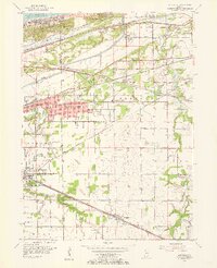
1900 · Toleston
USGS Topo · 1:62,500
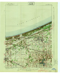
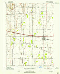
1940 · Porter
USGS Topo · 1:62,500
1953 · Palmer
USGS Topo · 1:24,000
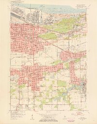
1953 · Gary
USGS Topo · 1:24,000
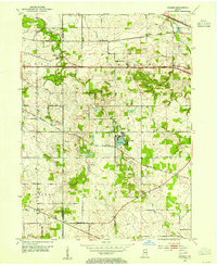
1953 · Crown Point
USGS Topo · 1:24,000
1953 · Wanatah
USGS Topo · 1:24,000
1953 · Garyton
USGS Topo · 1:24,000
1953 · Westville
USGS Topo · 1:24,000
1953 · Valparaiso
USGS Topo · 1:24,000
1953 · Ogden Dunes
USGS Topo · 1:24,000