
1940 Map of Porter
USGS Topo · Published 1940About this map
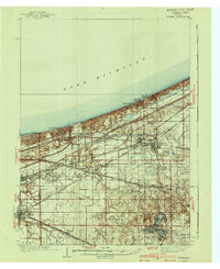
Indiana Dunes State Park and the burgeoning lakefront communities of Ogden Dunes and Dune Acres anchor this 1940 edition. The landscape reveals a complex interplay of natural shorelines and heavy industrial transit, defined by a dense lattice of rail lines including the Chicago South Shore and South Bend and the Baltimore and Ohio. Further inland, the map captures the established agricultural and residential cores of Chesterton and Hobart during an era of significant regional growth.
Find a feature on this map
66 named features on this map. Tap any name to fly to it.
Don’t see what you’re looking for? This feature index may not catch every label — zoom into the map to look around manually.
Map Details
Editions of this 1940 Porter Map
3 editions found
Other maps of this area

1900 · Toleston
USGS Topo · 1:62,500

1934 · Porter
USGS Topo · 1:48,000

1953 · Palmer
USGS Topo · 1:24,000

1953 · Gary
USGS Topo · 1:24,000

1953 · Crown Point
USGS Topo · 1:24,000

1953 · Wanatah
USGS Topo · 1:24,000

1953 · Garyton
USGS Topo · 1:24,000

1953 · Westville
USGS Topo · 1:24,000

1953 · Valparaiso
USGS Topo · 1:24,000

1953 · Ogden Dunes
USGS Topo · 1:24,000