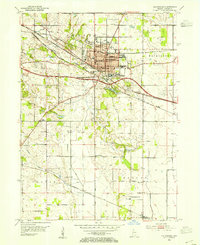
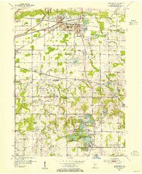
1953 Map of Valparaiso
USGS Topo · Published 1955About this map
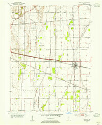
Valparaiso serves as the central hub of this mid-century survey, showcasing a dense network of institutional and educational landmarks including Valparaiso University and several neighborhood schools like Columbia Sch and Hanks Sch. The town is framed by the Lincoln Highway and a trio of major rail lines, including the Grand Trunk Western RR and the New York Chicago and St Louis RR, which underscore its role as a regional transit point.
Find a feature on this map
46 named features on this map. Tap any name to fly to it.
Don’t see what you’re looking for? This feature index may not catch every label — zoom into the map to look around manually.
Map Details
Editions of this 1953 Valparaiso Map
This is the sole edition of this map. No revisions or reprints were ever made.
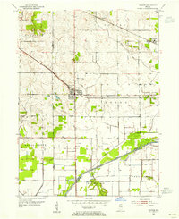
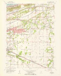
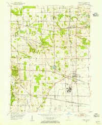
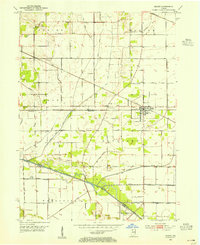
Other maps of this area
1934 · Porter
USGS Topo · 1:48,000
1940 · Porter
USGS Topo · 1:62,500
1953 · Palmer
USGS Topo · 1:24,000
1953 · Wanatah
USGS Topo · 1:24,000
1953 · Hebron
USGS Topo · 1:24,000
1953 · Garyton
USGS Topo · 1:24,000
1953 · Westville
USGS Topo · 1:24,000
1953 · Chesterton
USGS Topo · 1:24,000
1953 · Kouts
USGS Topo · 1:24,000

1953 · Chicago
USGS Topo · 1:250,000